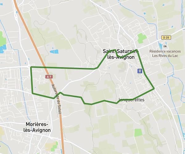
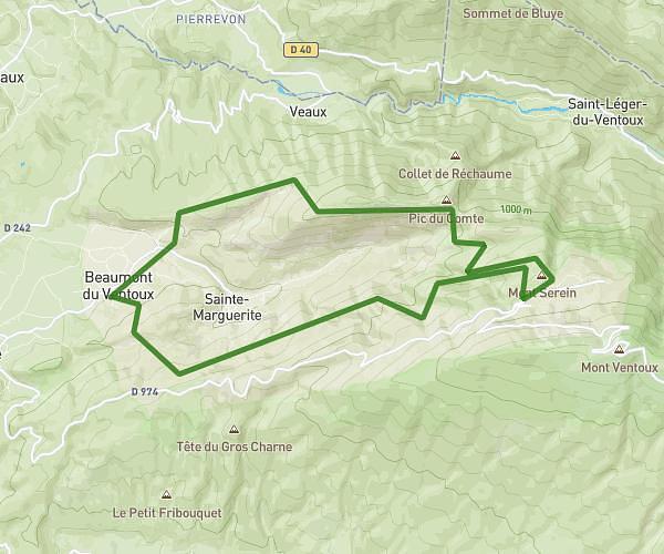
This running route covers 7.863mi starting from Bédoin, Vaucluse. The run is a loop trail and returns to the trailhead. This run is rated as hard, expect about 1h24m to complete it. The route has an elevation gain of 2113ft and an elevation loss of 2073ft.
bedoin 12.63 den pos 642
Route details
5.59mph
Speed
965 kcal
Calories burned
Loop trail
Route type
1371ft
Min altitude
3458ft
Max altitude
Route profile
2113ft
Elevation gain
2073ft
Elevation loss
1371ft
Min altitude
3458ft
Max altitude
How to get there
Trailhead: Piste Des Graviers Blancs, 84410 Bédoin, France
GPS coordinates of the trailhead: 44.14198, 5.18922 / 44°8'31'' N, 5°11'21'' E