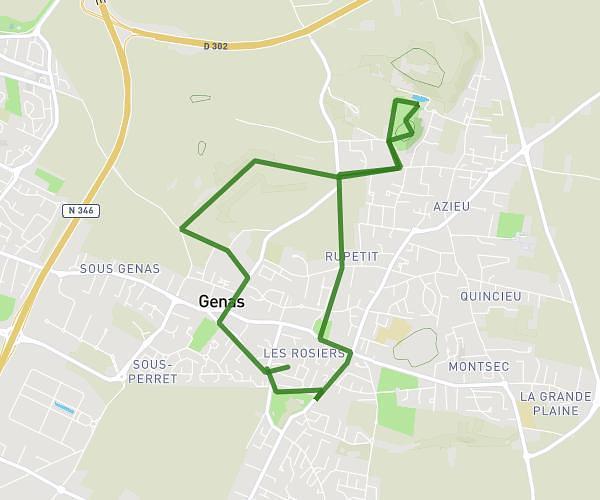
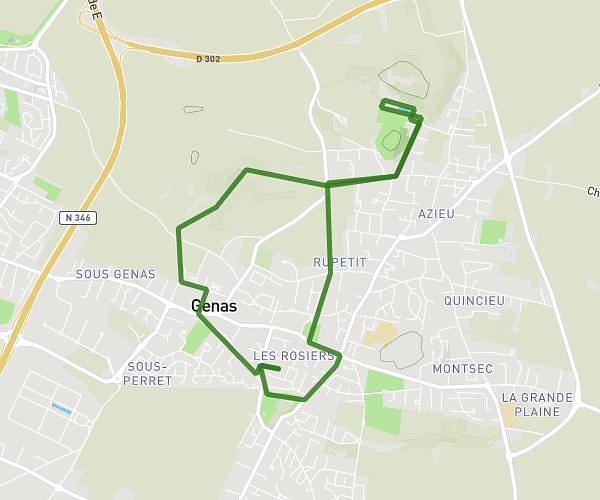
This running route covers 15.835mi starting from Crémieu, Isère. The run is a loop trail and returns to the trailhead. This run is rated as strenuous, expect about 2h50m to complete it. The route has an elevation gain of 1850ft and an elevation loss of 1831ft.
25km avec Arthur
Route details
5.59mph
Speed
1944 kcal
Calories burned
Loop trail
Route type
761ft
Min altitude
1345ft
Max altitude
Route profile
1850ft
Elevation gain
1831ft
Elevation loss
761ft
Min altitude
1345ft
Max altitude
How to get there
Trailhead: 59 Faubourg Des Moulins, 38460 Crémieu, France
GPS coordinates of the trailhead: 45.720128, 5.254557 / 45°43'12'' N, 5°15'16'' E