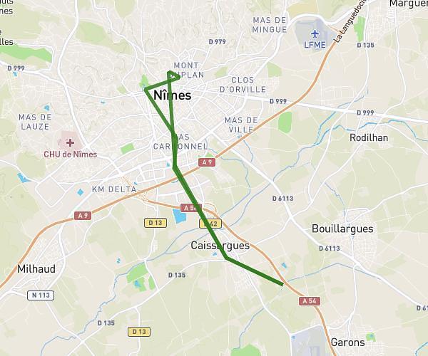
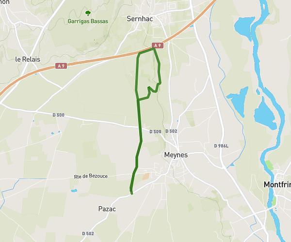
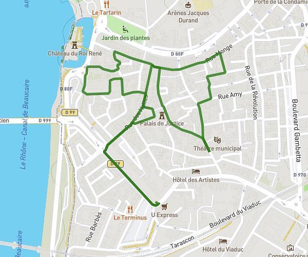
This walking route covers 0.532mi starting from Garons, Gard. The walk does not return to the trailhead and ends near 23 Impasse Rebuffat, 30128 Garons, France. This walk is rated as easy, plan for about 11m to complete it. The route has an elevation gain of 26ft and an elevation loss of 13ft.
Balade
Route details
20:41/mi
Pace
45 kcal
Calories burned
Point to point
Route type
295ft
Min altitude
312ft
Max altitude
Route profile
26ft
Elevation gain
13ft
Elevation loss
295ft
Min altitude
312ft
Max altitude
How to get there
Trailhead: 125 Carieire Dis Amourous, 30128 Garons, France
GPS coordinates of the trailhead: 43.77536, 4.42941 / 43°46'31'' N, 4°25'45'' E