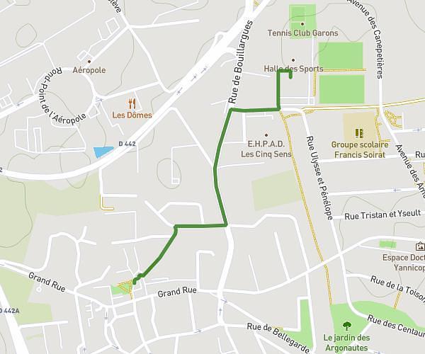
This walking route covers 4.781mi starting from Meynes, Gard. The walk is a loop trail and returns to the trailhead. This walk is rated as moderate, plan for about 1h37m to complete it. The route has an elevation gain of 259ft and an elevation loss of 259ft.
Equipe 13
Route details
20:17/mi
Pace
396 kcal
Calories burned
Loop trail
Route type
131ft
Min altitude
256ft
Max altitude
Route profile
259ft
Elevation gain
259ft
Elevation loss
131ft
Min altitude
256ft
Max altitude
How to get there
Trailhead: Avenue Du Stade, 30840 Meynes, France
GPS coordinates of the trailhead: 43.874627, 4.548766 / 43°52'28'' N, 4°32'55'' E