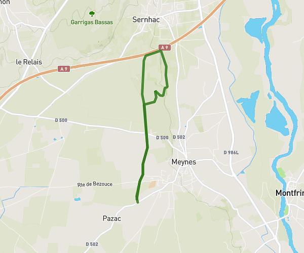
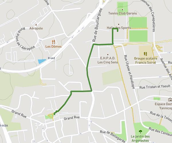
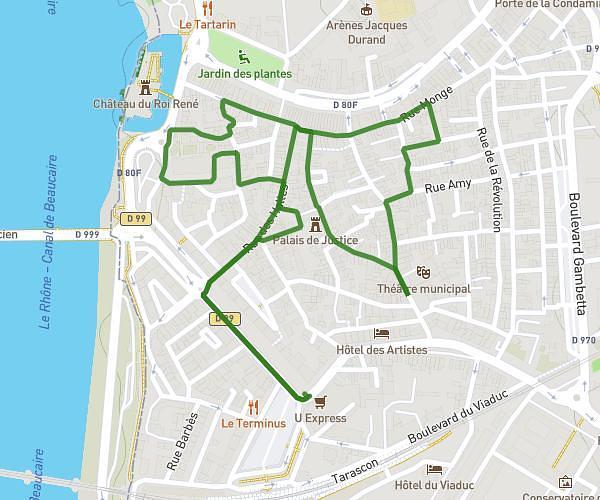
This walking route covers 14.38mi starting from Nîmes, Gard. The walk is a loop trail and returns to the trailhead. This walk is rated as strenuous, plan for about 2h34m to complete it. The route has an elevation gain of 469ft and an elevation loss of 469ft.
Projet 3
Route details
10:42/mi
Pace
629 kcal
Calories burned
Loop trail
Route type
69ft
Min altitude
249ft
Max altitude
Route profile
469ft
Elevation gain
469ft
Elevation loss
69ft
Min altitude
249ft
Max altitude
How to get there
Trailhead: 335 Avenue François Mitterrand, 30900 Nîmes, France
GPS coordinates of the trailhead: 43.817694, 4.361266 / 43°49'3'' N, 4°21'40'' E