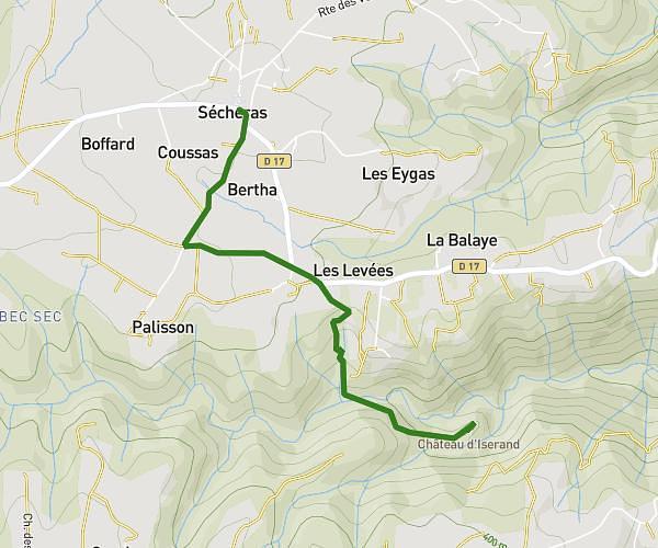
This hiking trail covers 17.738mi starting from Chavannes, Drôme. The hike does not return to the trailhead and ends near 665 Route De La Croze, 26260 Clérieux, France. This hike is rated as strenuous, plan for about 1h27m to complete it. The route has an elevation gain of 1463ft and an elevation loss of 1506ft.
25kms MDS vélo
Route details
12.23mph
Speed
625 kcal
Calories burned
3.2%
Avg grade
Point to point
Route type
541ft
Min altitude
1352ft
Max altitude
Route profile
1463ft
Elevation gain
1506ft
Elevation loss
541ft
Min altitude
1352ft
Max altitude
How to get there
Trailhead: 110c Chemin Des Fonts, 26260 Chavannes, France
GPS coordinates of the trailhead: 45.107029, 4.925132 / 45°6'25'' N, 4°55'30'' E