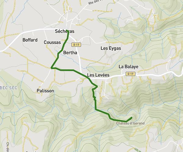
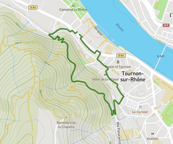
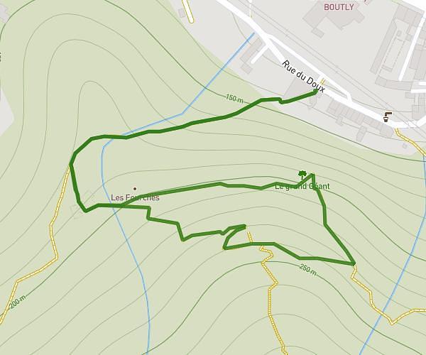
This hiking trail covers 3.036mi starting from Chavannes, Drôme. The hike is a loop trail and returns to the trailhead. This hike is rated as easy, plan for about 1m to complete it. The route has an elevation gain of 167ft and an elevation loss of 167ft.
MDS 2025 5kms
Route details
182.16mph
Speed
7 kcal
Calories burned
2.1%
Avg grade
Loop trail
Route type
614ft
Min altitude
666ft
Max altitude
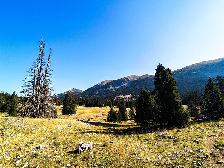
Route profile
167ft
Elevation gain
167ft
Elevation loss
614ft
Min altitude
666ft
Max altitude
How to get there
Trailhead: 251 Rue De L'église, 26260 Chavannes, France
GPS coordinates of the trailhead: 45.106692, 4.926535 / 45°6'24'' N, 4°55'35'' E