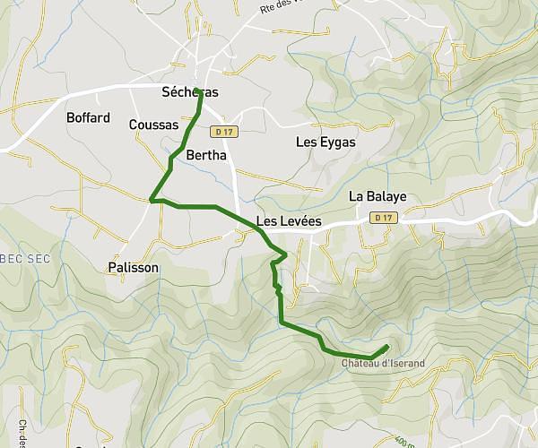
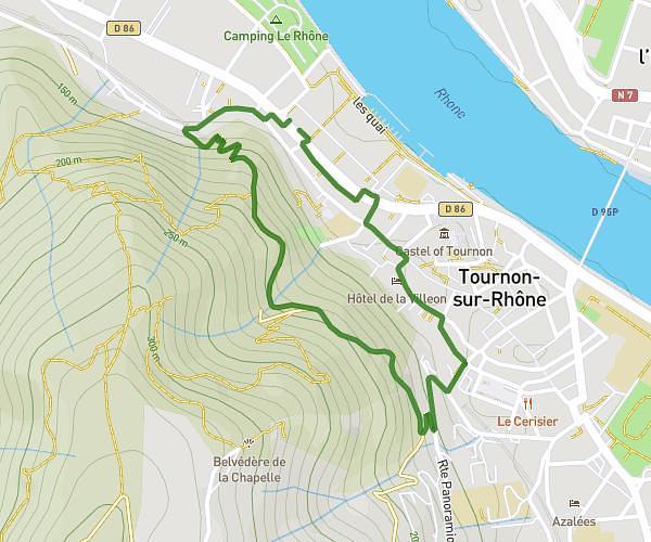
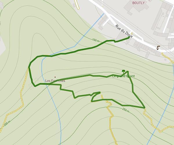
This hiking trail covers 8.491mi starting from Chavannes, Drôme. The hike is a loop trail and returns to the trailhead. This hike is rated as moderate, plan for about 2m to complete it. The route has an elevation gain of 725ft and an elevation loss of 725ft.
MDS 2025 long parcours
Route details
254.73mph
Speed
14 kcal
Calories burned
3.2%
Avg grade
Loop trail
Route type
594ft
Min altitude
915ft
Max altitude
Route profile
725ft
Elevation gain
725ft
Elevation loss
594ft
Min altitude
915ft
Max altitude
How to get there
Trailhead: 110c Chemin Des Fonts, 26260 Chavannes, France
GPS coordinates of the trailhead: 45.106965, 4.925681 / 45°6'25'' N, 4°55'32'' E