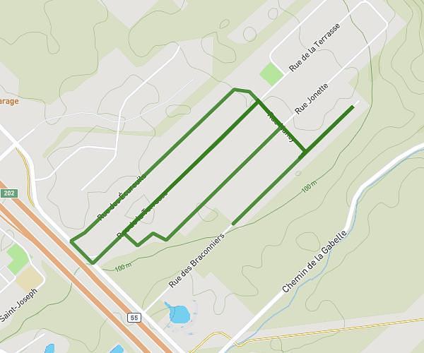
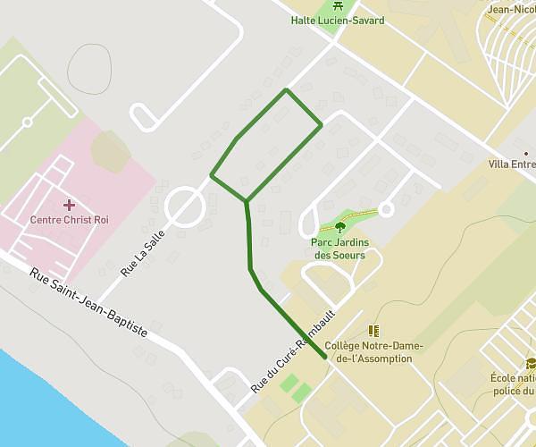
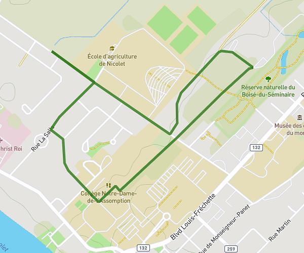
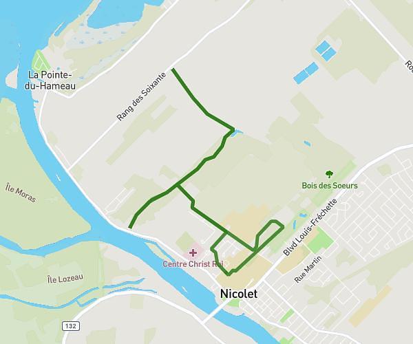
This running route covers 8.043mi starting from Trois-Rivières, Quebec. The run is a loop trail and returns to the trailhead. This run is rated as hard, expect about 1h26m to complete it. The route has an elevation gain of 328ft and an elevation loss of 328ft.
Cap #2
Route details
5.59mph
Speed
987 kcal
Calories burned
Loop trail
Route type
13ft
Min altitude
59ft
Max altitude
Route profile
328ft
Elevation gain
328ft
Elevation loss
13ft
Min altitude
59ft
Max altitude
How to get there
Trailhead: R22, Trois-Rivières, Quebec G8T 4H9, Canada
GPS coordinates of the trailhead: 46.369407, -72.497447 / 46°22'9'' N, 72°29'50'' W