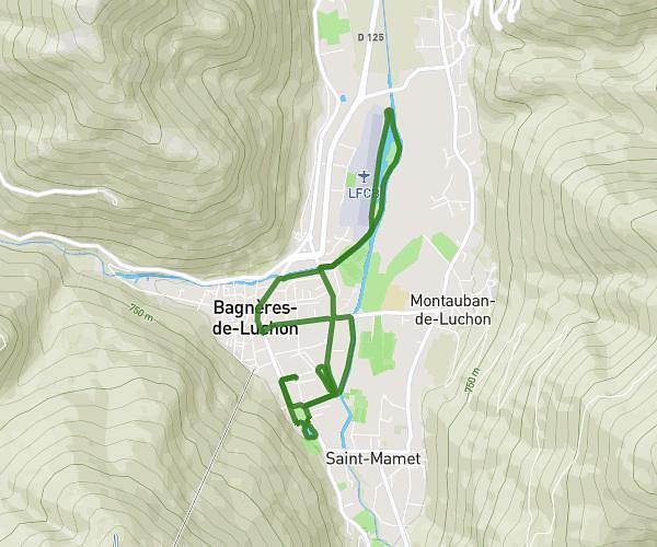
This running route covers 14.664mi starting from Oô, Haute-Garonne. The run is a loop trail and returns to the trailhead. This run is rated as strenuous, expect about 9h2m to complete it. The route has an elevation gain of 5823ft and an elevation loss of 5810ft.
Lac oo espingo portillon
Route details
1.62mph
Speed
6197 kcal
Calories burned
Loop trail
Route type
3757ft
Min altitude
9291ft
Max altitude
High altitude
Route profile
5823ft
Elevation gain
5810ft
Elevation loss
3757ft
Min altitude
9291ft
Max altitude
How to get there
Trailhead: 3 D 76w, 31110 Oô, France
GPS coordinates of the trailhead: 42.7638, 0.50205 / 42°45'49'' N, 0°30'7'' E