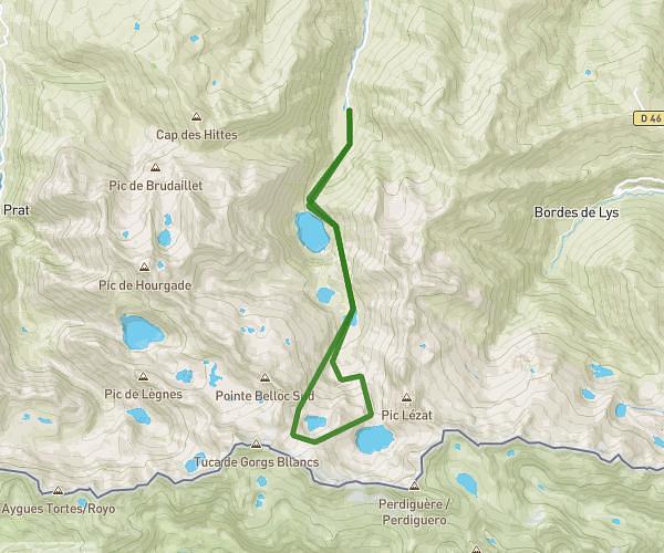
This running route covers 5.063mi starting from Bagnères-de-Luchon, Haute-Garonne. The run is a loop trail and returns to the trailhead. This run is rated as moderate, expect about 1h9m to complete it. The route has an elevation gain of 279ft and an elevation loss of 279ft.
Uria
Route details
4.35mph
Speed
798 kcal
Calories burned
Loop trail
Route type
2001ft
Min altitude
2126ft
Max altitude
Route profile
279ft
Elevation gain
279ft
Elevation loss
2001ft
Min altitude
2126ft
Max altitude
How to get there
Trailhead: Rue Sylvie, 31110 Bagnères-de-Luchon
GPS coordinates of the trailhead: 42.7874, 0.59441 / 42°47'14'' N, 0°35'39'' E