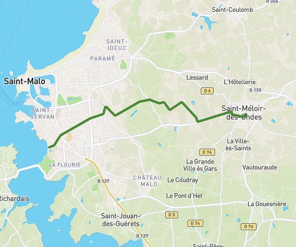
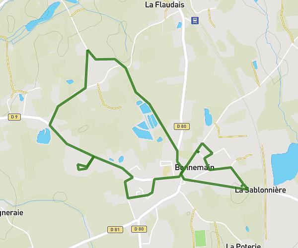
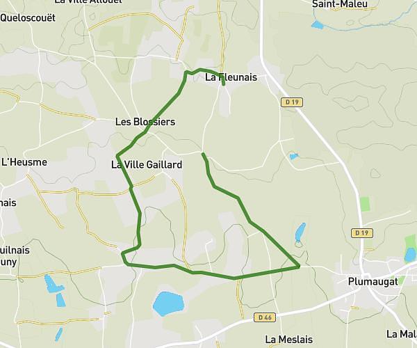
This running route covers 6.718mi starting from Dinan, Côtes-d'Armor. The run is a loop trail and returns to the trailhead. This run is rated as moderate, expect about 58m58s to complete it. The route has an elevation gain of 535ft and an elevation loss of 535ft.
Nouveau parcours 24 janvier
Route details
6.84mph
Speed
674 kcal
Calories burned
Loop trail
Route type
43ft
Min altitude
272ft
Max altitude
Route profile
535ft
Elevation gain
535ft
Elevation loss
43ft
Min altitude
272ft
Max altitude
How to get there
Trailhead: Place Duguesclin, 22100 Dinan
GPS coordinates of the trailhead: 48.45208, -2.04419 / 48°27'7'' N, 2°2'39'' W