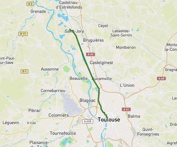
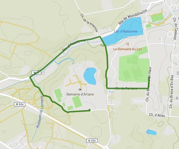
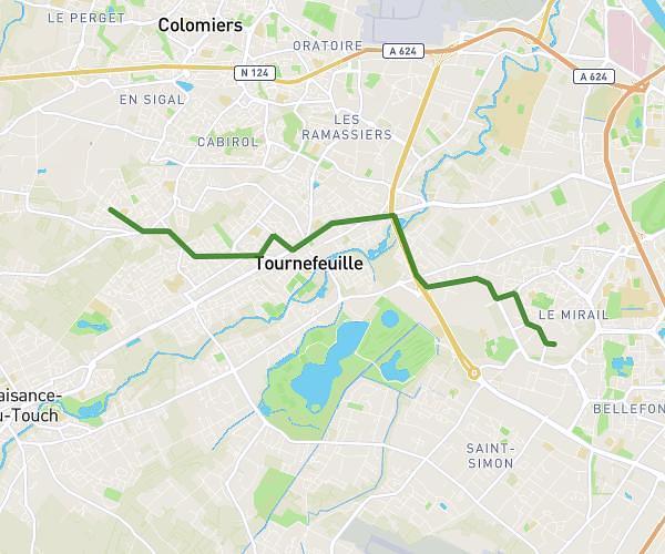
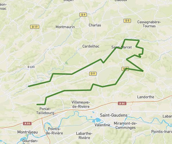
This cycling route covers 7.803mi starting from Saint-Orens-de-Gameville, Haute-Garonne. The ride is a loop trail and returns to the trailhead. This route is rated as easy, plan for about 2h47m to complete it. The route has an elevation gain of 161ft and an elevation loss of 151ft.
Boucle de Saint-Orens
Route details
1469 kcal
Calories burned
0.8%
Avg grade
Loop trail
Route type
482ft
Min altitude
643ft
Max altitude
Route profile
161ft
Elevation gain
151ft
Elevation loss
482ft
Min altitude
643ft
Max altitude
How to get there
Trailhead: Rue Du Stade, 31650 Saint-Orens-de-Gameville, France
GPS coordinates of the trailhead: 43.55448, 1.54097 / 43°33'16'' N, 1°32'27'' E