MapPlanner
11.228mi
Distance
1h8m
Duration
9.9mph
Speed
+36ft
Elevation gain
-26ft
Elevation loss
Moderate
Level

SAINT-ORENS - PORT SAINT-SAUVEUR

Route details

595 kcal
Calories burned
0.1%
Avg grade
Loop trail
Route type
476ft
Min altitude
499ft
Max altitude

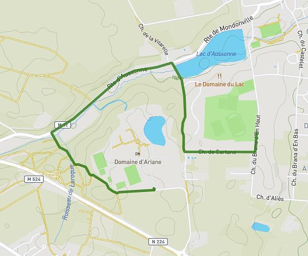
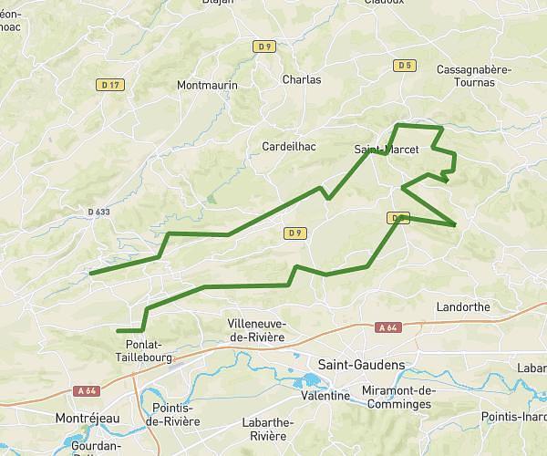
This cycling route covers 11.228mi starting from Toulouse, Haute-Garonne. The ride is a loop trail and returns to the trailhead. This route is rated as moderate, plan for about 1h8m to complete it. The route has an elevation gain of 36ft and an elevation loss of 26ft.

Description of the route by the creator

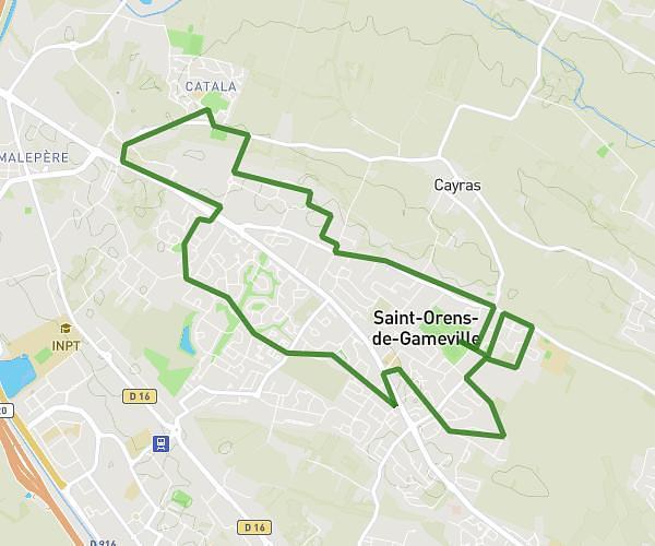
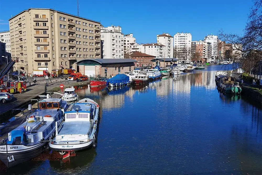
Saint-Orens-de-Gameville to Toulouse Port Saint-Sauveur via Rangueil. Return around the Grand-Rond then along the Canal du Midi.

(Description automatically translated)

Route profile

36ft
Elevation gain
26ft
Elevation loss
476ft
Min altitude
499ft
Max altitude

How to get there

Trailhead: Avenue Laure Delerot, 31400 Toulouse, France

GPS coordinates of the trailhead: 43.566262, 1.512037 / 43°33'58'' N, 1°30'43'' E

Caution: May Cross Private Property

This route may pass through or near private property. Always respect posted signs, obtain permission where required, and follow local trespassing laws. MapPlanner does not guarantee public access along any route.

Safety Notice

Trail and road conditions may change without notice due to weather, construction, or other factors. Always verify current conditions before heading out. You are responsible for your own safety — follow local signage, obey traffic laws, and use your best judgment on the trail.