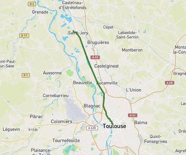
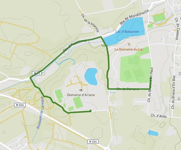
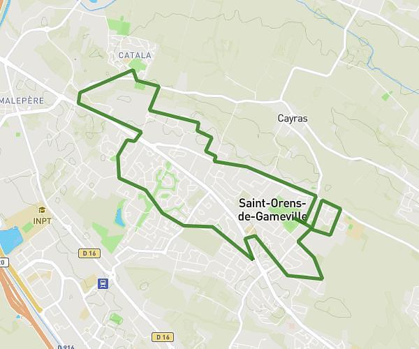
This cycling route covers 2.572mi starting from Tournefeuille, Haute-Garonne. The ride does not return to the trailhead and ends near 4 Impasse Paul Mesplé, 31100 Toulouse, France. This route is rated as easy, plan for about 16m to complete it. The route has an elevation gain of 13ft and an elevation loss of 121ft.
Trajet Florence
Route details
140 kcal
Calories burned
1.0%
Avg grade
Point to point
Route type
509ft
Min altitude
620ft
Max altitude
Route profile
13ft
Elevation gain
121ft
Elevation loss
509ft
Min altitude
620ft
Max altitude
How to get there
Trailhead: 8 Rue Des Hirondelles, 31170 Tournefeuille, France
GPS coordinates of the trailhead: 43.58936, 1.31309 / 43°35'21'' N, 1°18'47'' E