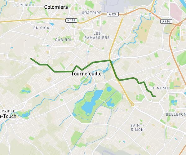
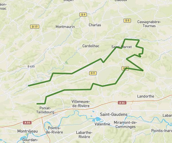
This cycling route covers 1.903mi starting from Mondonville, Haute-Garonne. The ride does not return to the trailhead and ends near Chemin Du Brana D'en Haut, 31840 Aussonne, France. This route is rated as easy, plan for about 20m24s to complete it. The route has an elevation gain of 151ft and an elevation loss of 167ft.
FESTIVAL
Route details
182 kcal
Calories burned
3.2%
Avg grade
Point to point
Route type
479ft
Min altitude
597ft
Max altitude
Route profile
151ft
Elevation gain
167ft
Elevation loss
479ft
Min altitude
597ft
Max altitude
How to get there
Trailhead: 9003 Chemin De Goutillos, 31840 Mondonville, France
GPS coordinates of the trailhead: 43.670101, 1.307327 / 43°40'12'' N, 1°18'26'' E