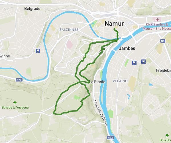
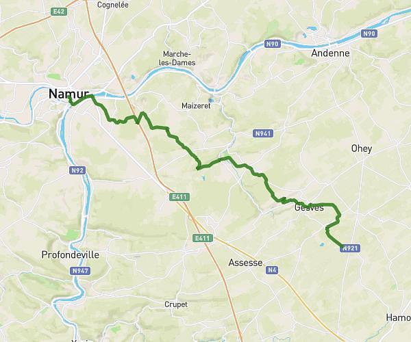
This running route covers 5.929mi starting from Hamois, Namur. The run does not return to the trailhead and ends near Rue De La Chapelle 2, 5370 Havelange, Namur, Belgium. This run is rated as moderate, expect about 57m15s to complete it. The route has an elevation gain of 371ft and an elevation loss of 374ft.
Verlee
Route details
6.21mph
Speed
655 kcal
Calories burned
Point to point
Route type
863ft
Min altitude
1060ft
Max altitude
Route profile
371ft
Elevation gain
374ft
Elevation loss
863ft
Min altitude
1060ft
Max altitude
How to get there
Trailhead: Rue De Miécret 50, 5360 Hamois, Namur, Belgium
GPS coordinates of the trailhead: 50.34351, 5.17652 / 50°20'36'' N, 5°10'35'' E