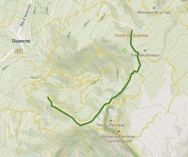
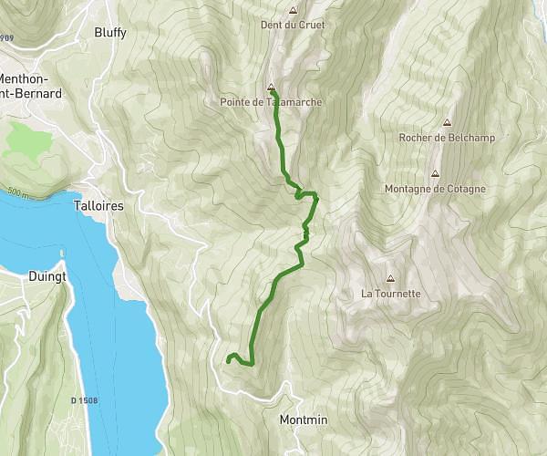
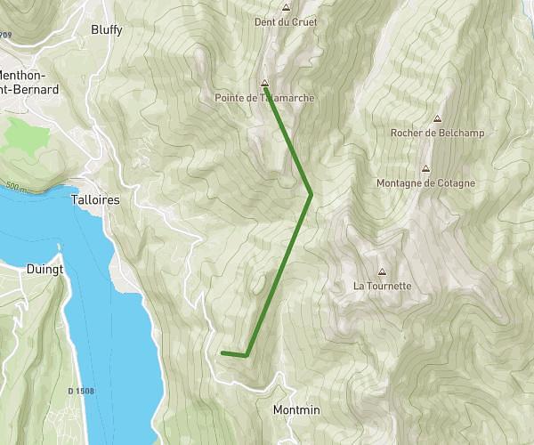
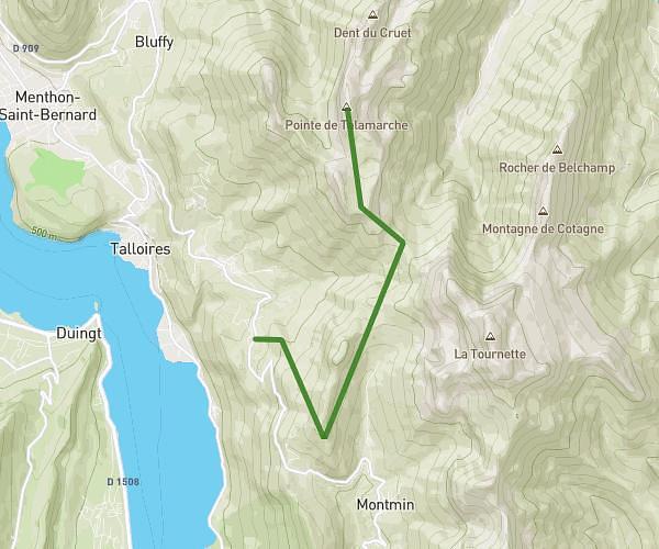
This hiking trail covers 1.867mi starting from Annecy-le-Vieux, Haute-Savoie. The hike does not return to the trailhead and ends near Sentier Du Pré Vernet, 74940 Annecy, France. This hike is rated as moderate, plan for about 1h45m to complete it. The route has an elevation gain of 2195ft and an elevation loss of 121ft.
Annecy Mont Veyrier
Route details
1.07mph
Speed
1008 kcal
Calories burned
23.5%
Avg grade
Point to point
Route type
1470ft
Min altitude
3543ft
Max altitude
Steep climb
Route profile
2195ft
Elevation gain
121ft
Elevation loss
1470ft
Min altitude
3543ft
Max altitude
How to get there
Trailhead: D 909, 74940 Annecy, France
GPS coordinates of the trailhead: 45.90394, 6.1599 / 45°54'14'' N, 6°9'35'' E