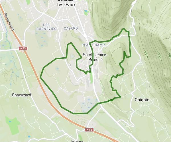
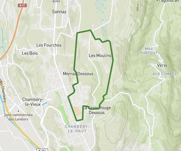
This running route covers 4.349mi starting from Saint-Bueil, Isère. The run is a loop trail and returns to the trailhead. This run is rated as moderate, expect about 35m41s to complete it. The route has an elevation gain of 476ft and an elevation loss of 476ft.
Boucle St Bueil Voissant
Route details
6.21mph
Speed
408 kcal
Calories burned
Loop trail
Route type
1017ft
Min altitude
1240ft
Max altitude
Route profile
476ft
Elevation gain
476ft
Elevation loss
1017ft
Min altitude
1240ft
Max altitude
How to get there
Trailhead: 96 Chemin Des Loyes, 38620 Saint-Bueil, France
GPS coordinates of the trailhead: 45.47541, 5.68988 / 45°28'31'' N, 5°41'23'' E