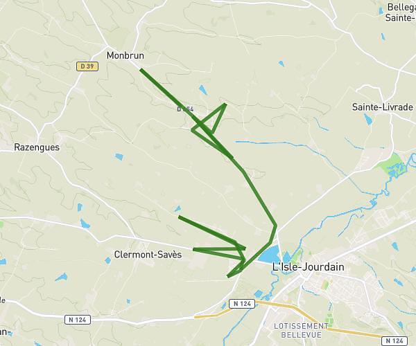
This cycling route covers 14.199mi starting from L'Isle-Jourdain, Gers. The ride does not return to the trailhead and ends near Route Du Périgué, 32600 Endoufielle. This route is rated as moderate, plan for about 1h26m to complete it. The route has an elevation gain of 354ft and an elevation loss of 262ft.
Aura de
Route details
757 kcal
Calories burned
0.8%
Avg grade
Point to point
Route type
453ft
Min altitude
692ft
Max altitude
Route profile
354ft
Elevation gain
262ft
Elevation loss
453ft
Min altitude
692ft
Max altitude
How to get there
Trailhead: Route De Lombez, 32600 L'Isle-Jourdain
GPS coordinates of the trailhead: 43.58882, 1.05299 / 43°35'19'' N, 1°3'10'' E