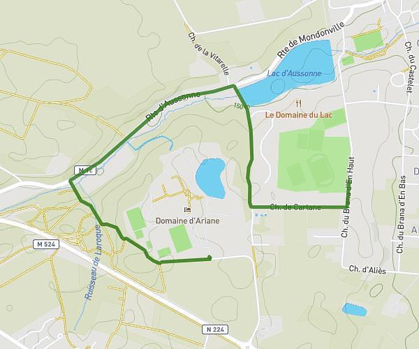
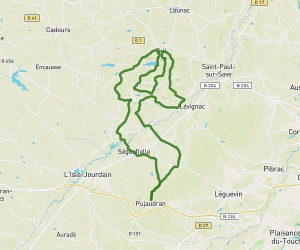
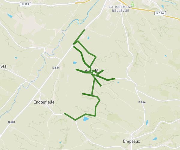
This cycling route covers 17.933mi starting from L'Isle-Jourdain, Gers. The ride does not return to the trailhead and ends near Chemin D'en Marrot, 32600 L'Isle-Jourdain. This route is rated as moderate, plan for about 1h48m to complete it. The route has an elevation gain of 253ft and an elevation loss of 112ft.
lac guillamous cassemartin
Route details
948 kcal
Calories burned
0.4%
Avg grade
Point to point
Route type
502ft
Min altitude
705ft
Max altitude
Route profile
253ft
Elevation gain
112ft
Elevation loss
502ft
Min altitude
705ft
Max altitude
How to get there
Trailhead: Rue Jean-Sébastien Bach, 32600 L'Isle-Jourdain
GPS coordinates of the trailhead: 43.61359, 1.06064 / 43°36'48'' N, 1°3'38'' E