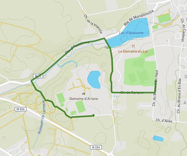
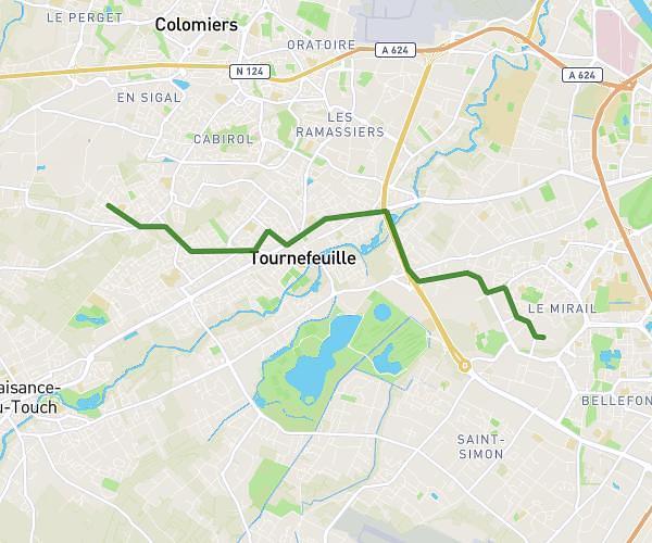
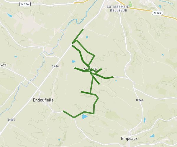
This cycling route covers 34.249mi starting from Pujaudran, Gers. The ride is a loop trail and returns to the trailhead. This route is rated as strenuous, plan for about 2h45m to complete it. The route has an elevation gain of 863ft and an elevation loss of 787ft.
Circuit 55-1000
Route details
1456 kcal
Calories burned
0.9%
Avg grade
Loop trail
Route type
512ft
Min altitude
1050ft
Max altitude
Route profile
863ft
Elevation gain
787ft
Elevation loss
512ft
Min altitude
1050ft
Max altitude
How to get there
Trailhead: 469 Route De Mérenvielle, 32600 Pujaudran, France
GPS coordinates of the trailhead: 43.59443, 1.15042 / 43°35'39'' N, 1°9'1'' E