This running route covers 1.568mi starting from Sherbrooke, Quebec. The run does not return to the trailhead and ends near Boulevard Lionel-Groulx, Sherbrooke, Quebec J1L 0H5, Canada. This run is rated as easy, expect about 20m to complete it. The route has an elevation gain of 167ft and an elevation loss of 98ft.
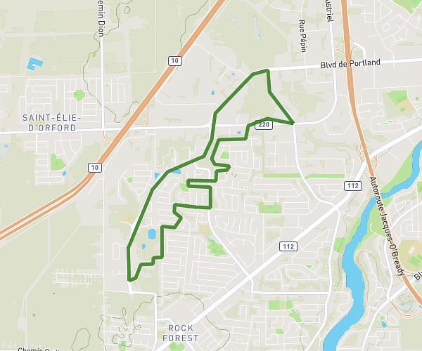
Vers le Costco
Route details
4.7mph
Speed
229 kcal
Calories burned
Point to point
Route type
689ft
Min altitude
820ft
Max altitude
Route profile
167ft
Elevation gain
98ft
Elevation loss
689ft
Min altitude
820ft
Max altitude
How to get there
Trailhead: 2935 Boulevard De Portland, Sherbrooke, Quebec J1L 2Y7, Canada
GPS coordinates of the trailhead: 45.40407, -71.94774 / 45°24'14'' N, 71°56'51'' W