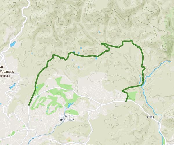
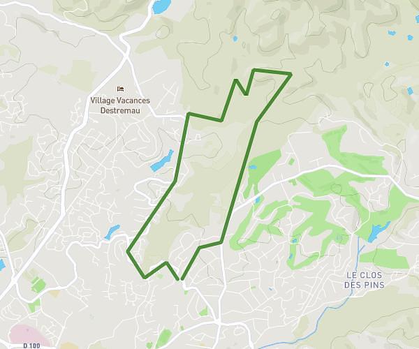
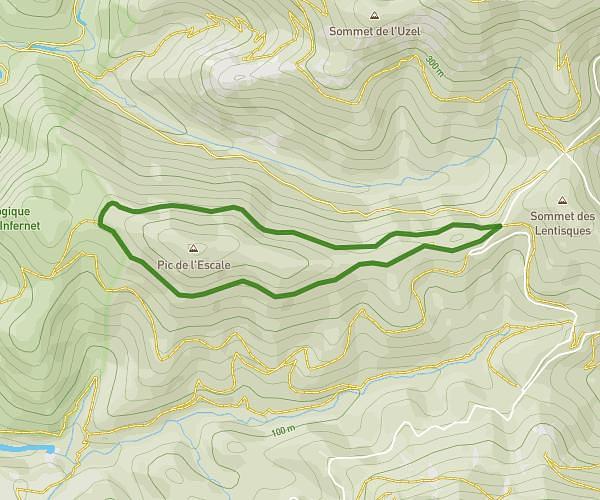
This hiking trail covers 1.234mi starting from Saint-Raphaël, Var. The hike is a loop trail and returns to the trailhead. This hike is rated as easy, plan for about 1h45m to complete it. The route has an elevation gain of 220ft and an elevation loss of 220ft.
Aurelle
Route details
0.7mph
Speed
776 kcal
Calories burned
6.7%
Avg grade
Loop trail
Route type
768ft
Min altitude
945ft
Max altitude
Route profile
220ft
Elevation gain
220ft
Elevation loss
768ft
Min altitude
945ft
Max altitude
How to get there
Trailhead: Piste Du Ravin De L’Ubac De L’Escale, 83530 Saint-Raphaël, France
GPS coordinates of the trailhead: 43.47004, 6.90877 / 43°28'12'' N, 6°54'31'' E