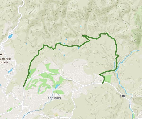
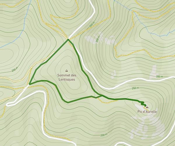
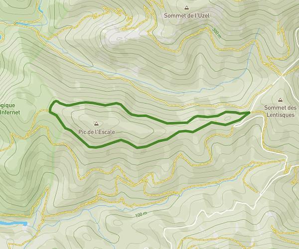
This hiking trail covers 5.307mi starting from Saint-Raphaël, Var. The hike is a loop trail and returns to the trailhead. This hike is rated as moderate, plan for about 1h47m to complete it. The route has an elevation gain of 518ft and an elevation loss of 525ft.
VALESCURE
Route details
2.98mph
Speed
772 kcal
Calories burned
3.7%
Avg grade
Loop trail
Route type
92ft
Min altitude
377ft
Max altitude
Route profile
518ft
Elevation gain
525ft
Elevation loss
92ft
Min altitude
377ft
Max altitude
How to get there
Trailhead: 39 Chemin De Pédegal, 83700 Saint-Raphaël, France
GPS coordinates of the trailhead: 43.44507, 6.7737 / 43°26'42'' N, 6°46'25'' E