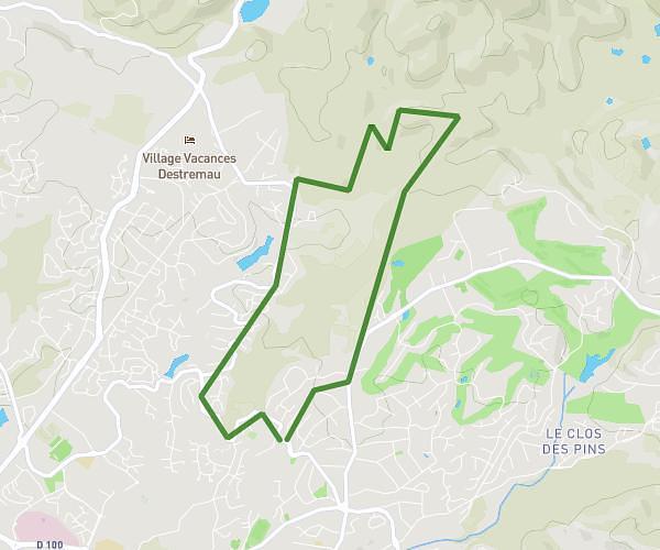
This hiking trail covers 7.494mi starting from Saint-Raphaël, Var. The hike does not return to the trailhead and ends near Avenue Du Colonel Brooke, 83700 Saint-Raphaël. This hike is rated as moderate, plan for about 2h40m to complete it. The route has an elevation gain of 801ft and an elevation loss of 719ft.
ESTEREL
Route details
2.8mph
Speed
1164 kcal
Calories burned
3.8%
Avg grade
Point to point
Route type
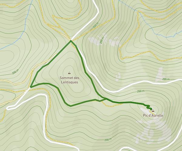
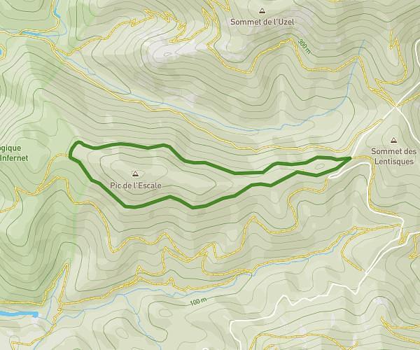
59ft
Min altitude
417ft
Max altitude
Route profile
801ft
Elevation gain
719ft
Elevation loss
59ft
Min altitude
417ft
Max altitude
How to get there
Trailhead: Avenue Des Golfs, 83700 Saint-Raphaël
GPS coordinates of the trailhead: 43.45142, 6.83167 / 43°27'5'' N, 6°49'54'' E