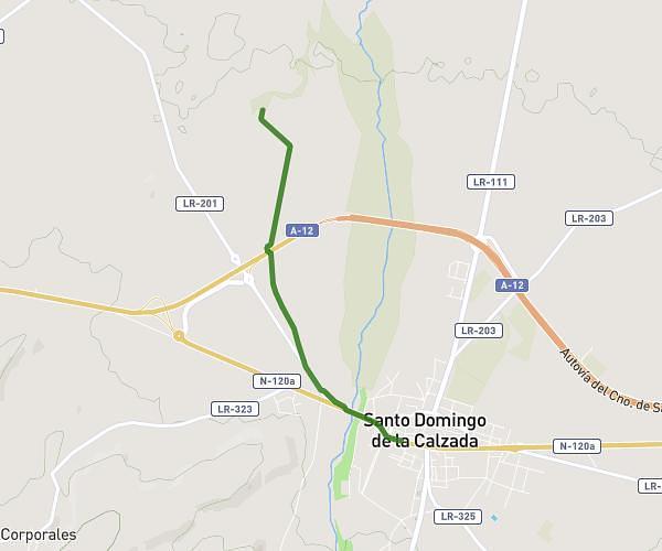
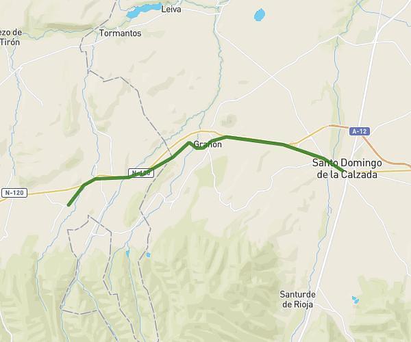
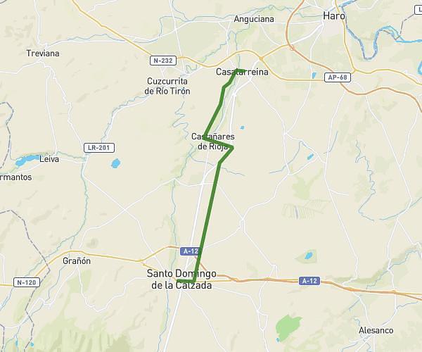
This hiking trail covers 12.653mi starting from Santo Domingo de la Calzada, La Rioja. The hike is a loop trail and returns to the trailhead. This hike is rated as easy, plan for about 4h18m to complete it. The route has an elevation gain of 489ft and an elevation loss of 486ft.
Description of the route by the creator
Vons Santo Domingo de la Calzada am Jakobsweg, an der LR-111 entlang bis zum großen Verkehrskreis an der A-12, dort ins Feld an der nördlichen Seite der Autobahn entlang bis zum zweiten Feldweg dann rechts auf Camino de Caracarros, bis zur ersten Kreuzung der Feldwege, and links und immer gerade aus bis Castañares, um dort ein Bierchen zu trinken und Pause in der Rathauskneipe. Dann weiter an der Straße ostwärts, und beim zweiten Rondel rechts auf die Via Verde del Oja immer gerade aus zurück bis Santo Domingo. Circa 20 km.