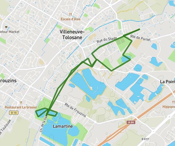
This running route covers 3.22mi starting from Castanet-Tolosan, Haute-Garonne. The run is a loop trail and returns to the trailhead. This run is rated as easy, expect about 38m51s to complete it. The route has an elevation gain of 243ft and an elevation loss of 243ft.
5km Castanet-Tolosan
Route details
4.97mph
Speed
444 kcal
Calories burned
Loop trail
Route type
650ft
Min altitude
892ft
Max altitude
Route profile
243ft
Elevation gain
243ft
Elevation loss
650ft
Min altitude
892ft
Max altitude
How to get there
Trailhead: 9 Rue Alphonse Daudet, 31320 Castanet-Tolosan, France
GPS coordinates of the trailhead: 43.513327, 1.486697 / 43°30'47'' N, 1°29'12'' E