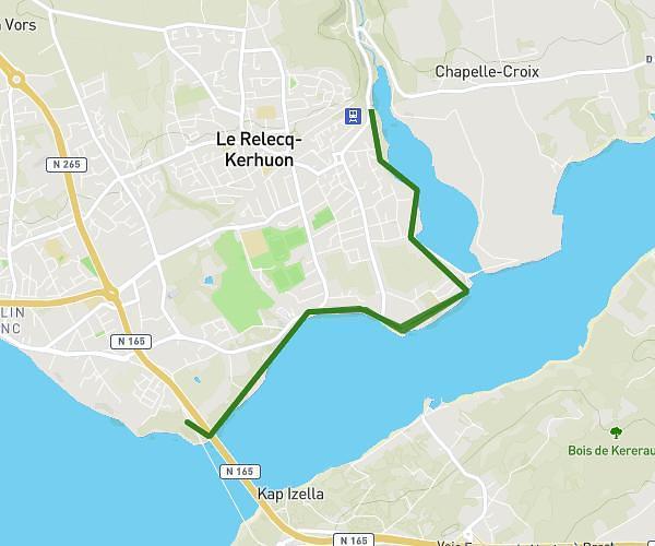
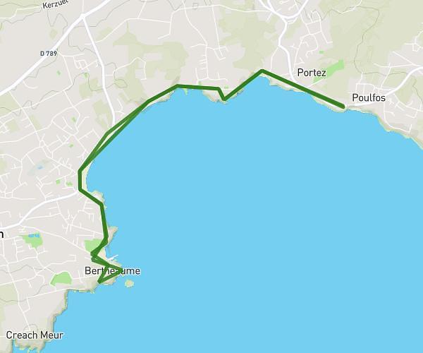
This hiking trail covers 16.445mi starting from Crozon, Finistère. The hike is a loop trail and returns to the trailhead. This hike is rated as strenuous, plan for about 8h3m to complete it. The route has an elevation gain of 2178ft and an elevation loss of 2178ft.
Cap de la chèvre à Kenaveno
Route details
2.04mph
Speed
3523 kcal
Calories burned
5.0%
Avg grade
Loop trail
Route type
-20ft
Min altitude
338ft
Max altitude
Route profile
2178ft
Elevation gain
2178ft
Elevation loss
-20ft
Min altitude
338ft
Max altitude
How to get there
Trailhead: D 255, 29160 Crozon, France
GPS coordinates of the trailhead: 48.17164, -4.55127 / 48°10'17'' N, 4°33'4'' W