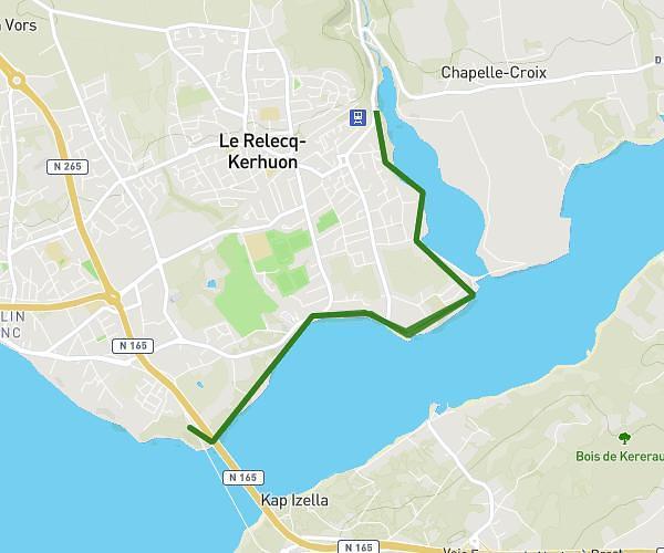
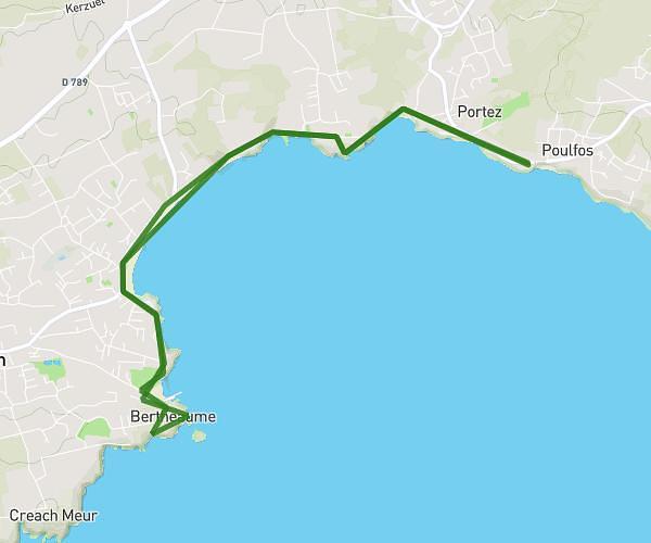
This hiking trail covers 14.94mi starting from Crozon, Finistère. The hike is a loop trail and returns to the trailhead. This hike is rated as strenuous, plan for about 8h11m to complete it. The route has an elevation gain of 1827ft and an elevation loss of 1827ft.
crozon
Route details
1.82mph
Speed
3576 kcal
Calories burned
4.6%
Avg grade
Loop trail
Route type
10ft
Min altitude
325ft
Max altitude
Route profile
1827ft
Elevation gain
1827ft
Elevation loss
10ft
Min altitude
325ft
Max altitude
How to get there
Trailhead: Route De Dinan, 29160 Crozon, France
GPS coordinates of the trailhead: 48.23331, -4.56353 / 48°13'59'' N, 4°33'48'' W