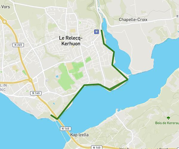
This hiking trail covers 7.381mi starting from Ploumoguer, Finistère. The hike is a loop trail and returns to the trailhead. This hike is rated as moderate, plan for about 3h23m to complete it. The route has an elevation gain of 774ft and an elevation loss of 791ft.
kerhornou à kergallean
Route details
2.18mph
Speed
1469 kcal
Calories burned
4.0%
Avg grade
Loop trail
Route type
-3ft
Min altitude
180ft
Max altitude
Route profile
774ft
Elevation gain
791ft
Elevation loss
-3ft
Min altitude
180ft
Max altitude
How to get there
Trailhead: 120 Rue De Locmeven, 29810 Ploumoguer, France
GPS coordinates of the trailhead: 48.40431, -4.77241 / 48°24'15'' N, 4°46'20'' W