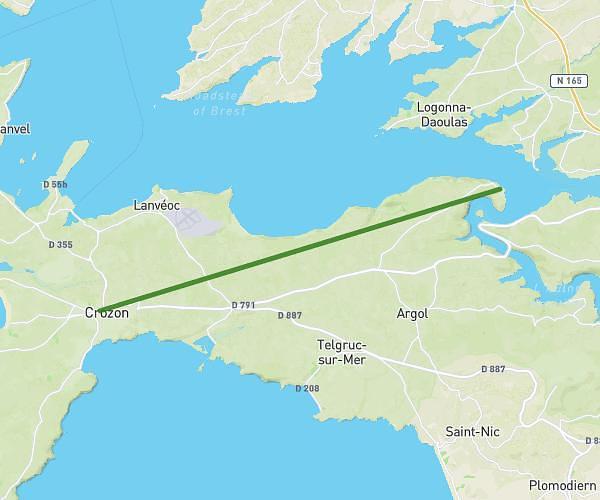
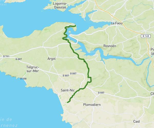
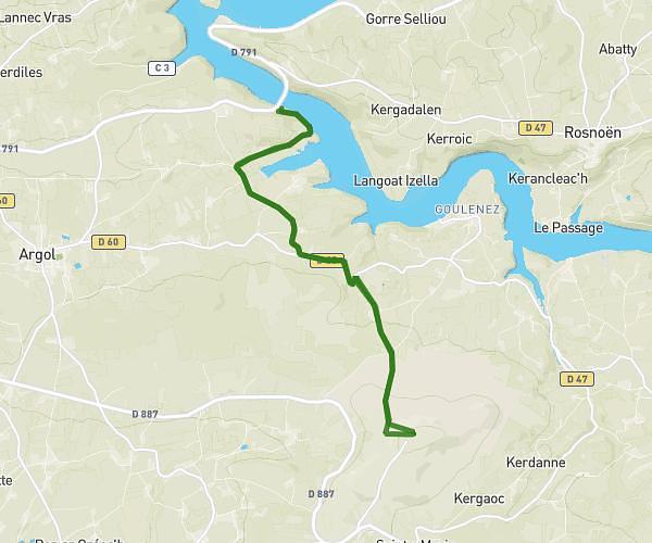
This hiking trail covers 16.227mi starting from Saint-Rivoal, Finistère. The hike is a loop trail and returns to the trailhead. This hike is rated as strenuous, plan for about 8h39m to complete it. The route has an elevation gain of 1657ft and an elevation loss of 1657ft.
Les monts d'Arrée
Route details
1.88mph
Speed
3751 kcal
Calories burned
3.9%
Avg grade
Loop trail
Route type
745ft
Min altitude
1250ft
Max altitude
Route profile
1657ft
Elevation gain
1657ft
Elevation loss
745ft
Min altitude
1250ft
Max altitude
How to get there
Trailhead: D 84, 29190 Saint-Rivoal, France
GPS coordinates of the trailhead: 48.35011, -3.94683 / 48°21'0'' N, 3°56'48'' W