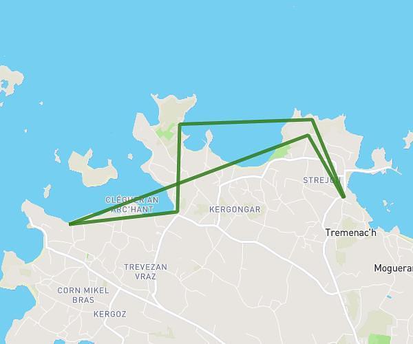
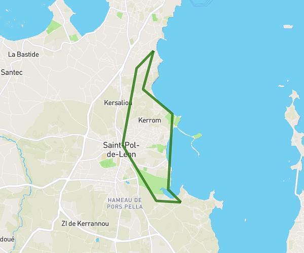
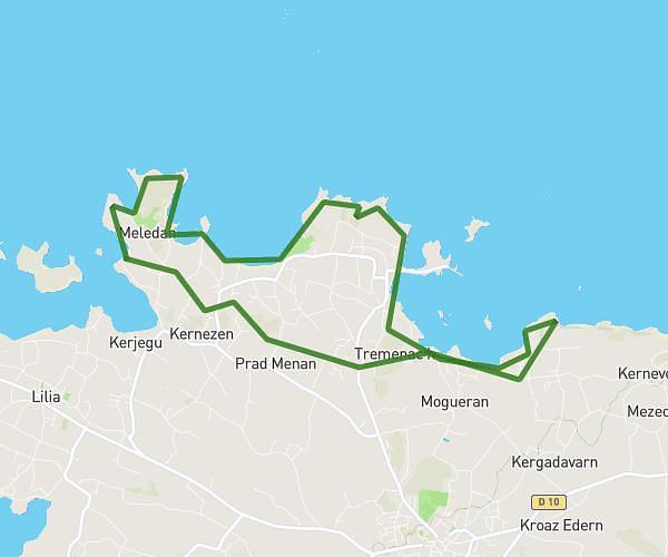
This hiking trail covers 12.56mi starting from Kerlouan, Finistère. The hike is a loop trail and returns to the trailhead. This hike is rated as strenuous, plan for about 5h44m to complete it. The route has an elevation gain of 2674ft and an elevation loss of 2667ft.
menez ham à roscao
Route details
2.19mph
Speed
2570 kcal
Calories burned
8.1%
Avg grade
Loop trail
Route type
-62ft
Min altitude
157ft
Max altitude
Steep climb
Route profile
2674ft
Elevation gain
2667ft
Elevation loss
-62ft
Min altitude
157ft
Max altitude
How to get there
Trailhead: C 19, 29890 Kerlouan
GPS coordinates of the trailhead: 48.66517, -4.36776 / 48°39'54'' N, 4°22'3'' W