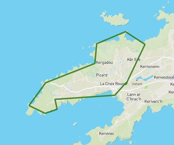
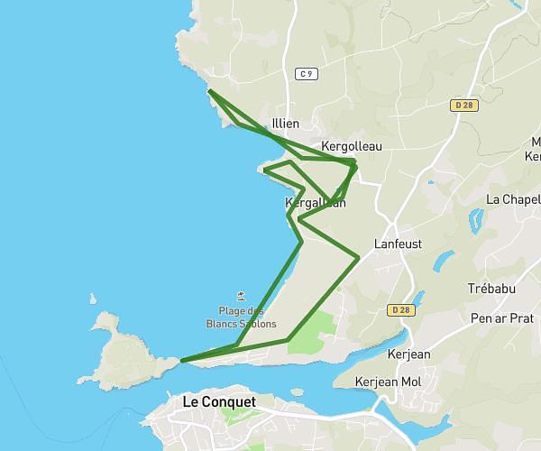
This hiking trail covers 10.801mi starting from Ouessant, Finistère. The hike does not return to the trailhead and ends near 218 Route Du Stiff, 29242 Ouessant, France. This hike is rated as hard, plan for about 7h29m to complete it. The route has an elevation gain of 1060ft and an elevation loss of 1112ft.
ouessant
Route details
1.44mph
Speed
3246 kcal
Calories burned
3.8%
Avg grade
Point to point
Route type
0ft
Min altitude
200ft
Max altitude
Route profile
1060ft
Elevation gain
1112ft
Elevation loss
0ft
Min altitude
200ft
Max altitude
How to get there
Trailhead: D 181, 29242 Ouessant, France
GPS coordinates of the trailhead: 48.45729, -5.09637 / 48°27'26'' N, 5°5'46'' W