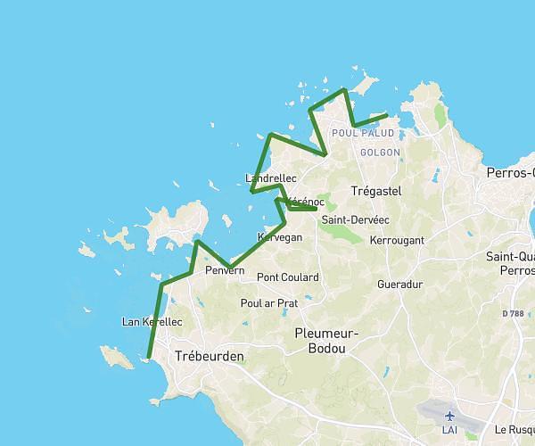
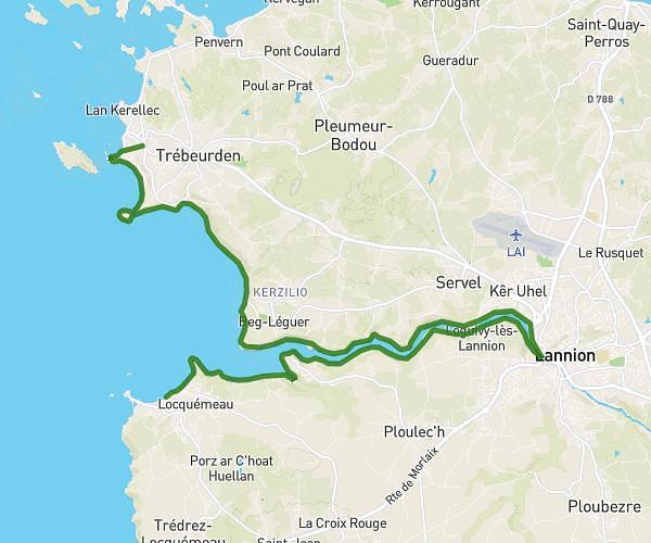
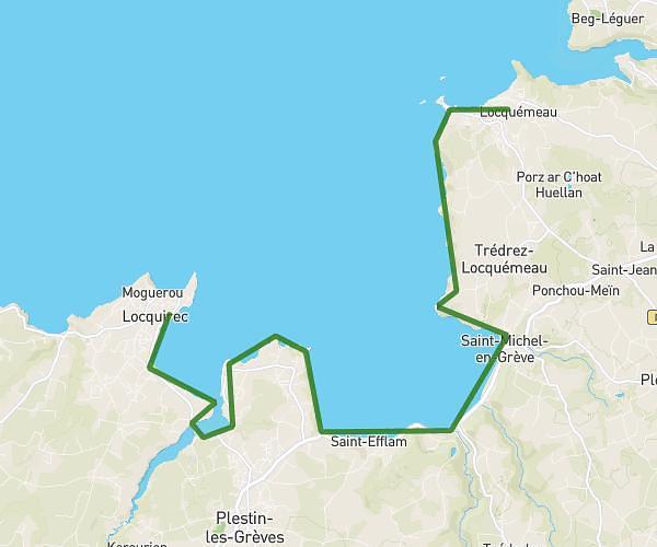
This hiking trail covers 11.329mi starting from Plestin-les-Grèves, Côtes-d'Armor. The hike is a loop trail and returns to the trailhead. This hike is rated as hard, plan for about 7h7m to complete it. The route has an elevation gain of 1342ft and an elevation loss of 1342ft.
plestin les greves
Route details
1.59mph
Speed
3104 kcal
Calories burned
4.5%
Avg grade
Loop trail
Route type
-3ft
Min altitude
308ft
Max altitude
Route profile
1342ft
Elevation gain
1342ft
Elevation loss
-3ft
Min altitude
308ft
Max altitude
How to get there
Trailhead: 14 Quai De Toul An Hery, 22310 Plestin-les-Grèves, France
GPS coordinates of the trailhead: 48.67038, -3.63831 / 48°40'13'' N, 3°38'17'' W