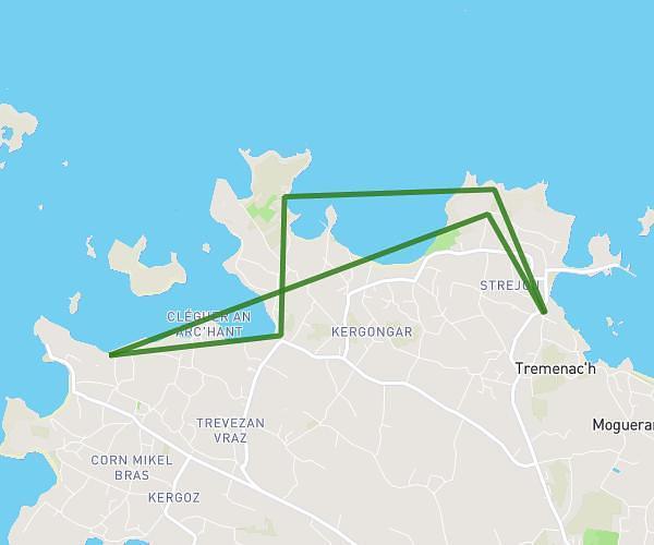
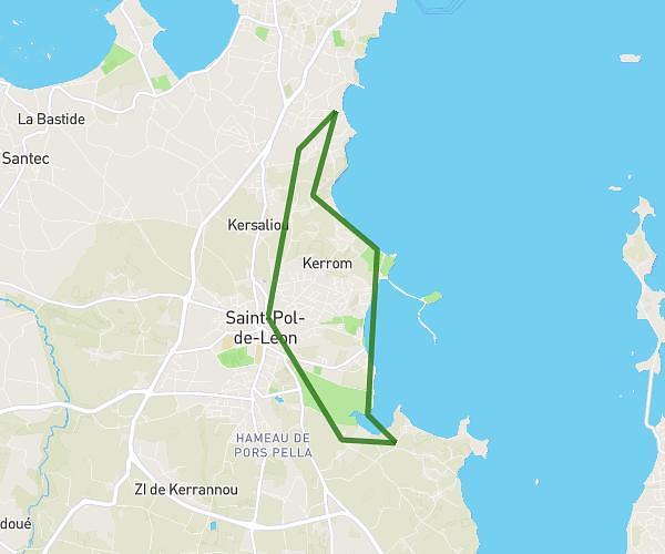
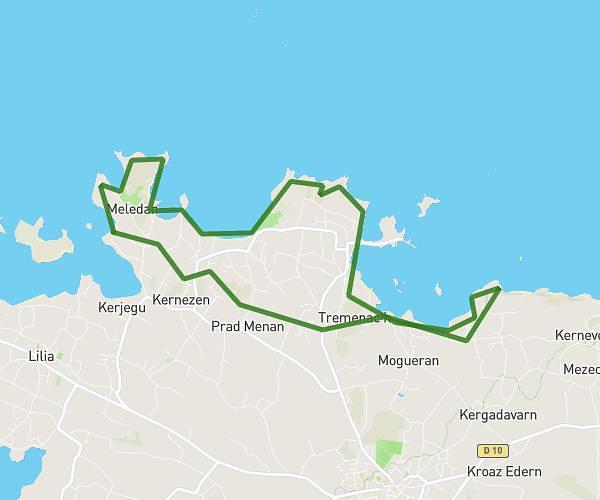
This hiking trail covers 8.969mi starting from Plouescat, Finistère. The hike is a loop trail and returns to the trailhead. This hike is rated as easy, plan for about 5h9m to complete it. The route has an elevation gain of 358ft and an elevation loss of 358ft.
plouescat
Route details
1.74mph
Speed
2194 kcal
Calories burned
1.5%
Avg grade
Loop trail
Route type
-10ft
Min altitude
46ft
Max altitude
Route profile
358ft
Elevation gain
358ft
Elevation loss
-10ft
Min altitude
46ft
Max altitude
How to get there
Trailhead: 1 Rue De Pors Ar Streat, 29430 Plouescat, France
GPS coordinates of the trailhead: 48.66903, -4.21072 / 48°40'8'' N, 4°12'38'' W