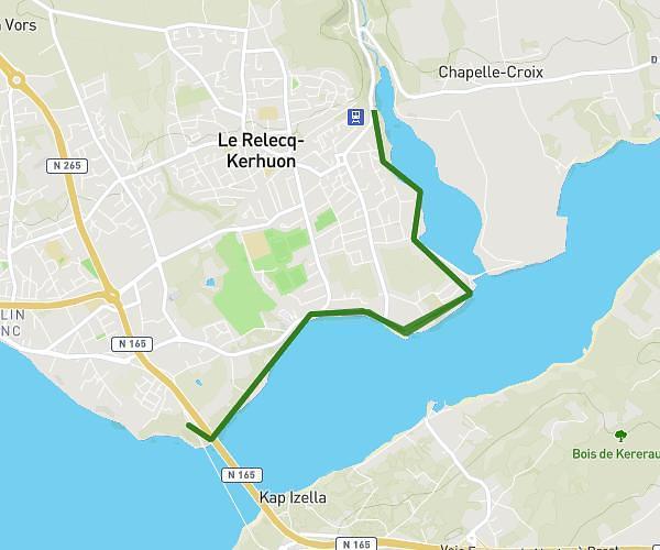
This hiking trail covers 13.732mi starting from Plouarzel, Finistère. The hike is a loop trail and returns to the trailhead. This hike is rated as hard, plan for about 7h6m to complete it. The route has an elevation gain of 1014ft and an elevation loss of 1076ft.
Pointe de corsan et un peu plus
Route details
1.93mph
Speed
3055 kcal
Calories burned
2.9%
Avg grade
Loop trail
Route type
-7ft
Min altitude
190ft
Max altitude
Route profile
1014ft
Elevation gain
1076ft
Elevation loss
-7ft
Min altitude
190ft
Max altitude
How to get there
Trailhead: 360 Route De La Pointe De Corsen, 29810 Plouarzel, France
GPS coordinates of the trailhead: 48.41466, -4.79459 / 48°24'52'' N, 4°47'40'' W