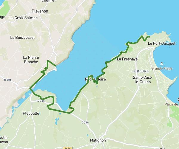
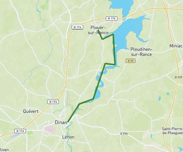
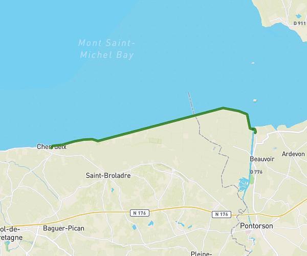
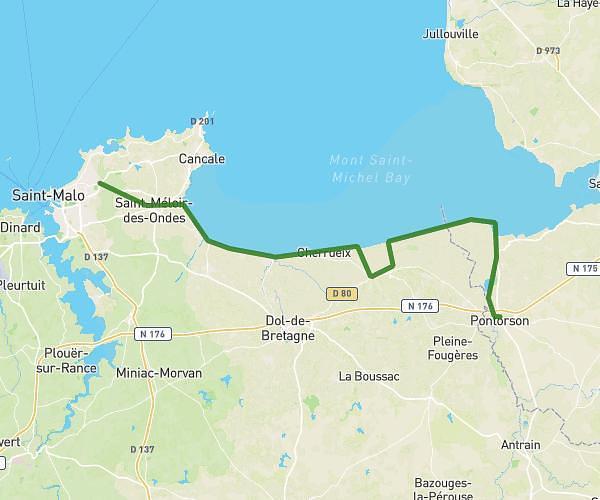
This hiking trail covers 10.199mi starting from Saint-Malo, Ille-et-Vilaine. The hike does not return to the trailhead and ends near 6 Place Monseigneur Duchesne, 35400 Saint-Malo, France. This hike is rated as moderate, plan for about 6h27m to complete it. The route has an elevation gain of 801ft and an elevation loss of 755ft.
saint malo
Route details
1.58mph
Speed
2781 kcal
Calories burned
2.9%
Avg grade
Point to point
Route type
-13ft
Min altitude
135ft
Max altitude
Route profile
801ft
Elevation gain
755ft
Elevation loss
-13ft
Min altitude
135ft
Max altitude
How to get there
Trailhead: 1 Fort National, 35400 Saint-Malo, France
GPS coordinates of the trailhead: 48.65382, -2.02314 / 48°39'13'' N, 2°1'23'' W