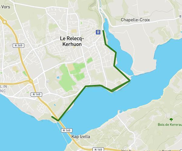
This hiking trail covers 11.912mi starting from Camaret-sur-Mer, Finistère. The hike is a loop trail and returns to the trailhead. This hike is rated as hard, plan for about 7h10m to complete it. The route has an elevation gain of 1440ft and an elevation loss of 1434ft.
tour de camaret au départ de ker loc'h
Route details
1.66mph
Speed
3130 kcal
Calories burned
4.6%
Avg grade
Loop trail
Route type
-33ft
Min altitude
200ft
Max altitude
Route profile
1440ft
Elevation gain
1434ft
Elevation loss
-33ft
Min altitude
200ft
Max altitude
How to get there
Trailhead: Route De Kerloch, 29570 Camaret-sur-Mer, France
GPS coordinates of the trailhead: 48.25922, -4.56089 / 48°15'33'' N, 4°33'39'' W