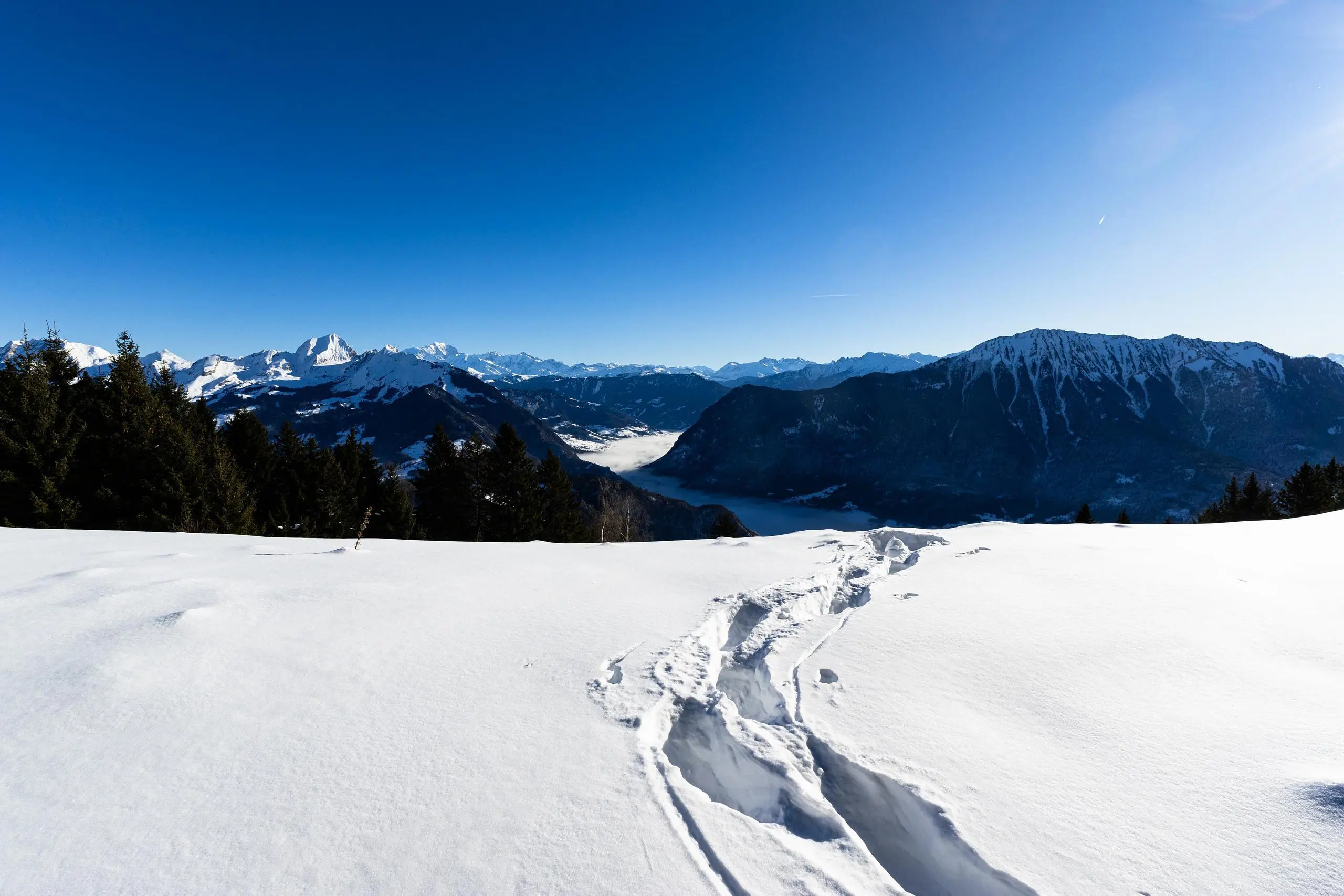
This hiking trail covers 5.94mi starting from Talloires-Montmin, Haute-Savoie. The hike is a loop trail and returns to the trailhead. This hike is rated as strenuous, plan for about 3h30m to complete it. The route has an elevation gain of 2270ft and an elevation loss of 2267ft.
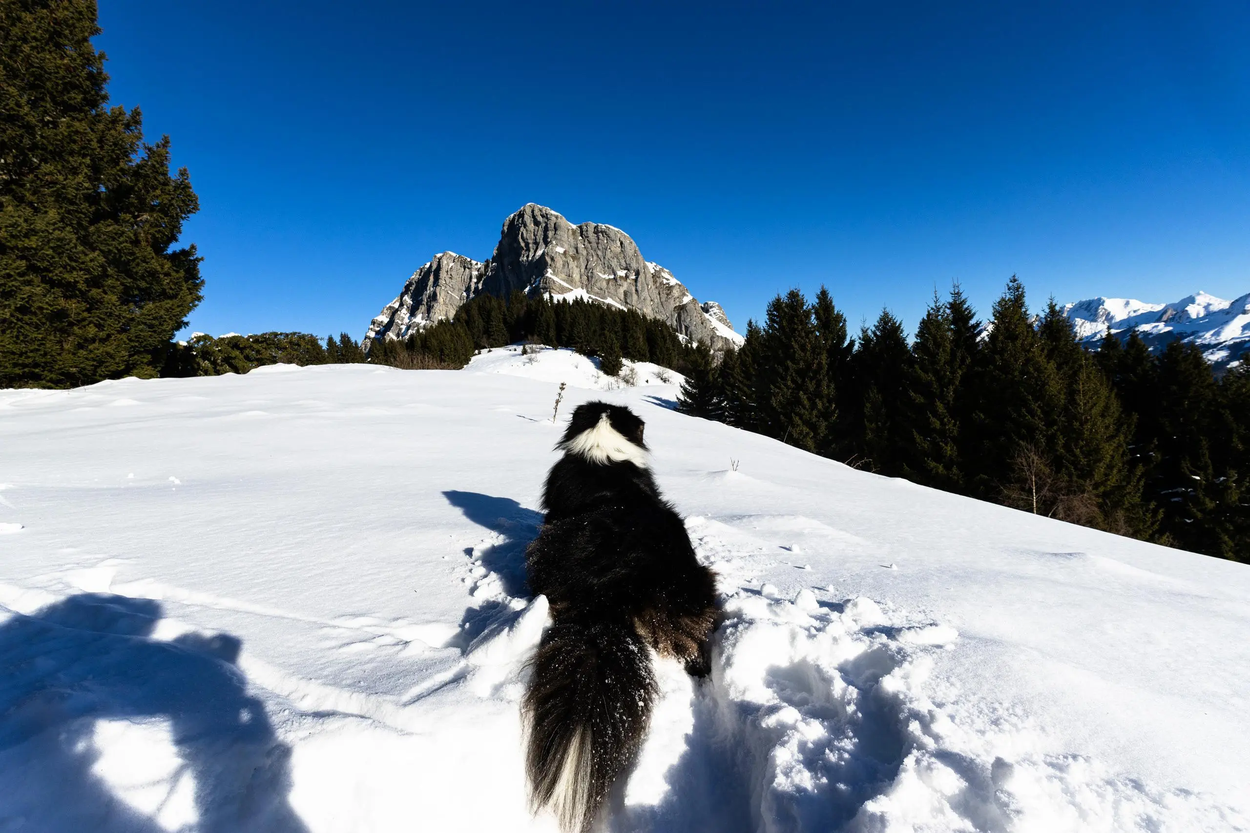
Arpettaz depuis Plan Montmin dans la neige


Route details
1.7mph
Speed
1647 kcal
Calories burned
14.5%
Avg grade
Loop trail
Route type
3379ft
Min altitude
5167ft
Max altitude
Steep climb
Route profile
2270ft
Elevation gain
2267ft
Elevation loss
3379ft
Min altitude
5167ft
Max altitude
How to get there
Trailhead: 944 Route Du Plan, 74210 Talloires-Montmin, France
GPS coordinates of the trailhead: 45.79035, 6.26542 / 45°47'25'' N, 6°15'55'' E


