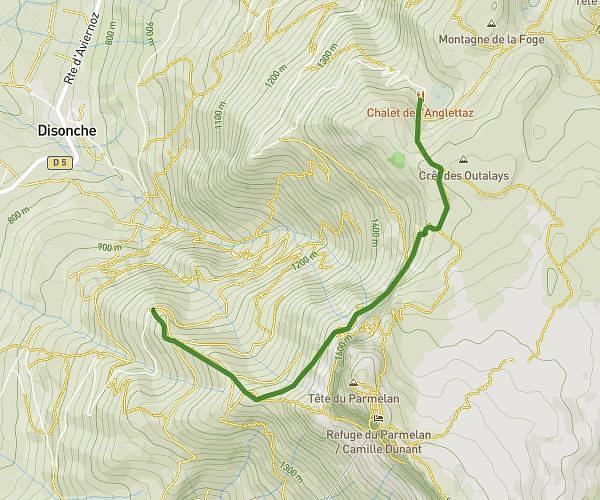
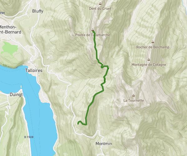
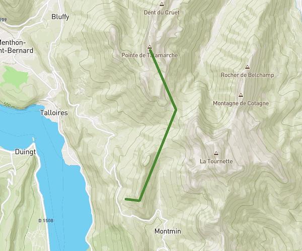
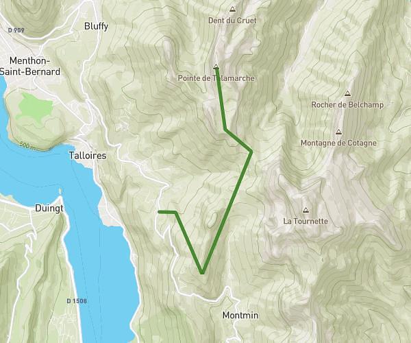
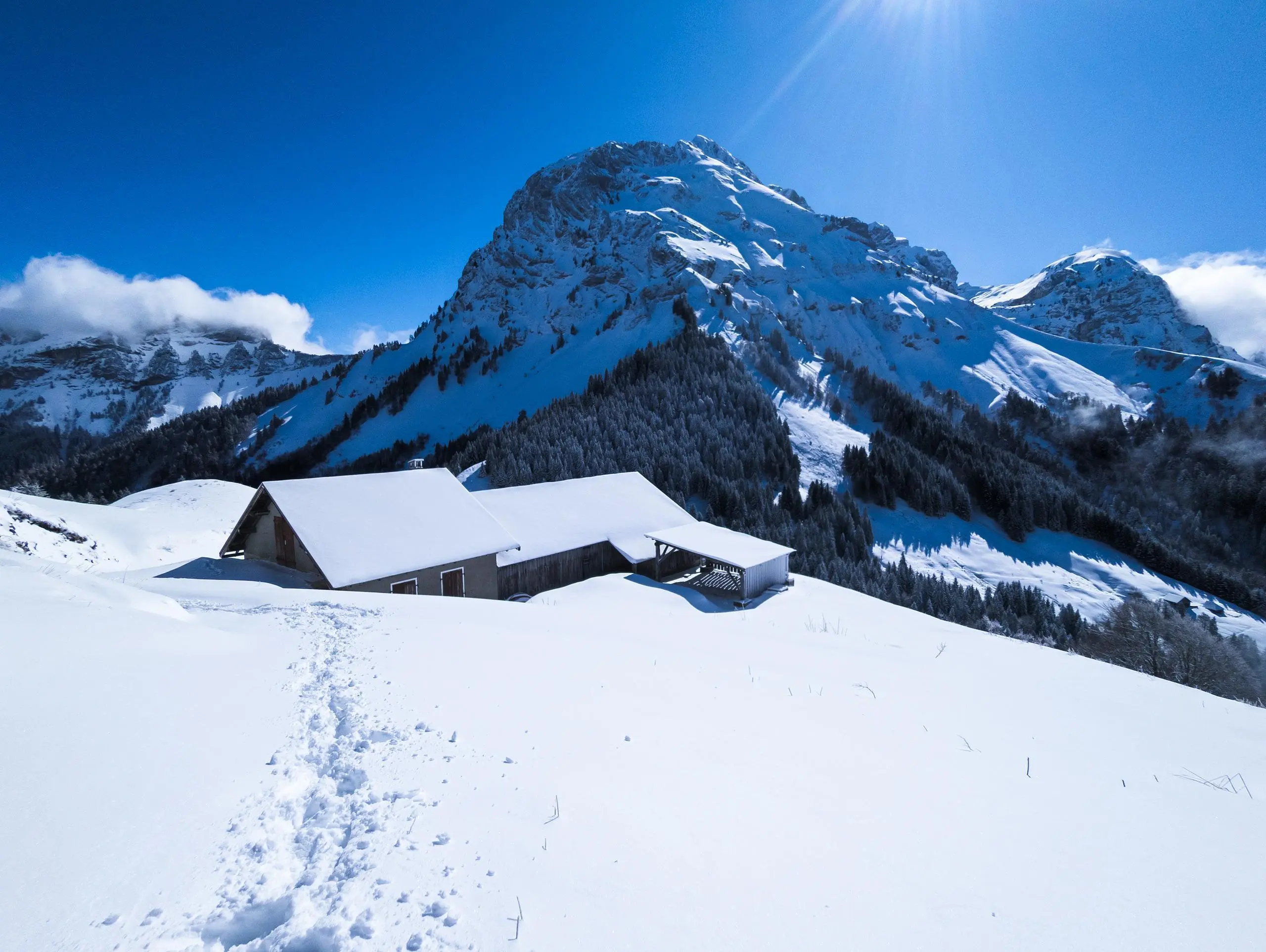
This hiking trail covers 4.769mi starting from Thônes, Haute-Savoie. The hike is a loop trail and returns to the trailhead. This hike is rated as hard, plan for about 3h38m to complete it. The route has an elevation gain of 2818ft and an elevation loss of 2848ft.
Col de l'Aulp depuis Montremont


Route details
1.31mph
Speed
1814 kcal
Calories burned
22.5%
Avg grade
Loop trail
Route type
2638ft
Min altitude
5430ft
Max altitude
Steep climb
Route profile
2818ft
Elevation gain
2848ft
Elevation loss
2638ft
Min altitude
5430ft
Max altitude
How to get there
Trailhead: 3946 Route De Montremont, 74230 Thônes, France
GPS coordinates of the trailhead: 45.857033, 6.28021 / 45°51'25'' N, 6°16'48'' E