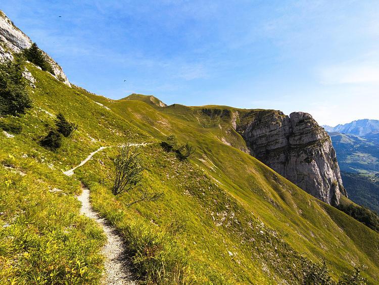
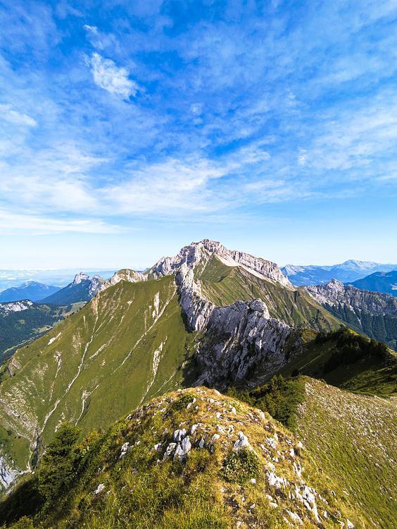
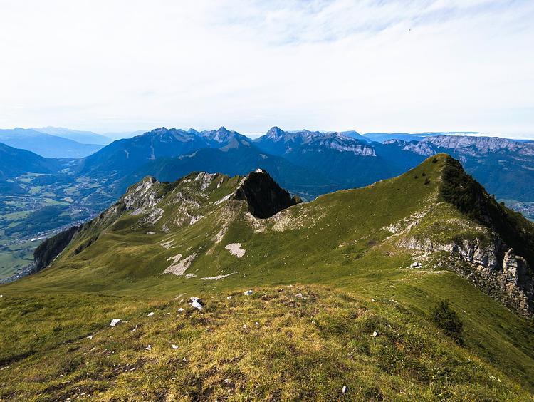
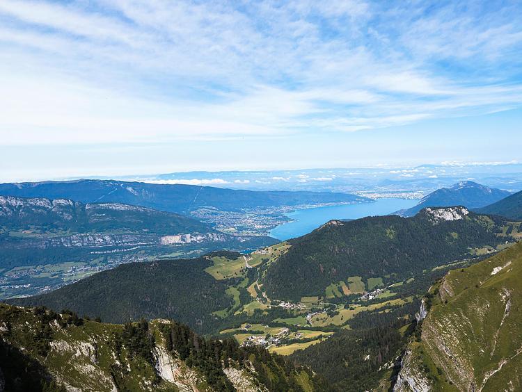
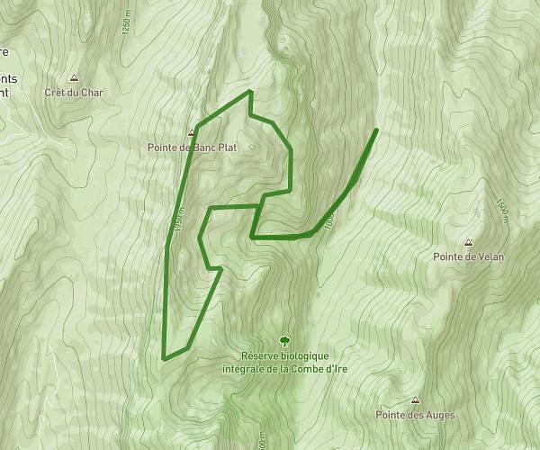
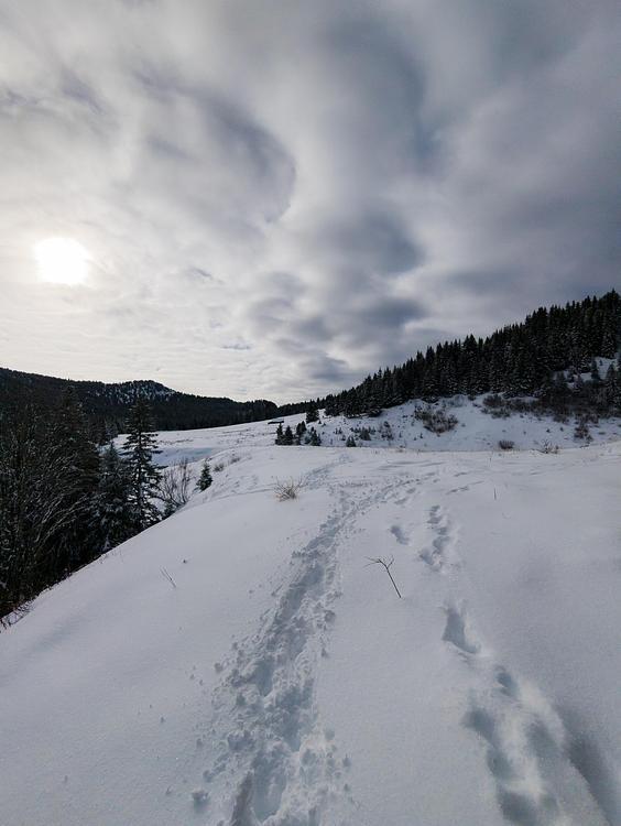
Explore this hiking route of 14.14km starting from Talloires-Montmin, Haute-Savoie. The hike is a loop and returns to the starting point. This hike is rated as intermediate, plan for about 3h35m to complete it. The route has a positive elevation gain of 1119m and a negative elevation loss of 1124m.
Description of the route by the creator
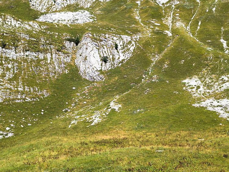
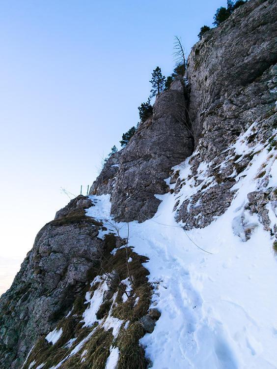
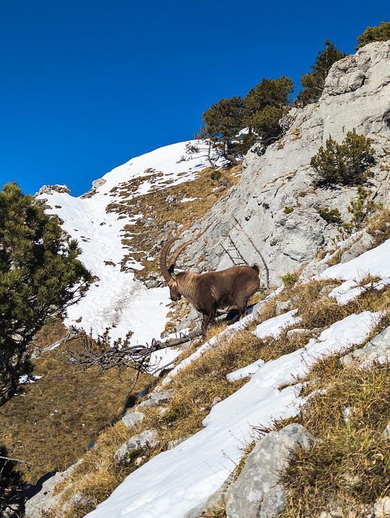
Park in a parking lot shortly after the start of the forest track at Plan Montmin. The path is well signposted. Just be careful to turn off onto the small path before you reach the farm. No particular difficulties. If you're lucky, you'll come across chamois even during the day.
