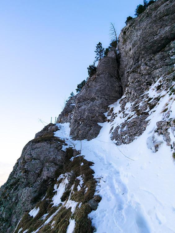
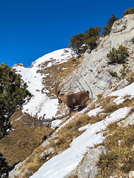
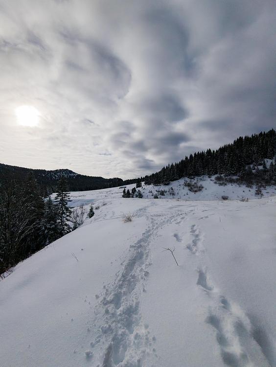
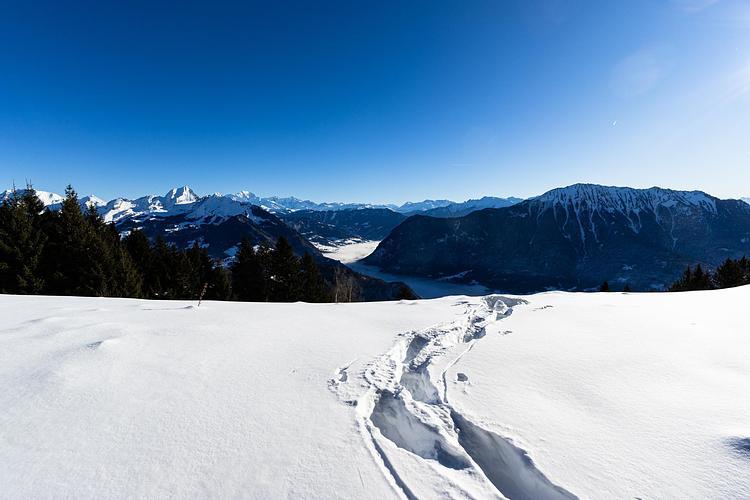
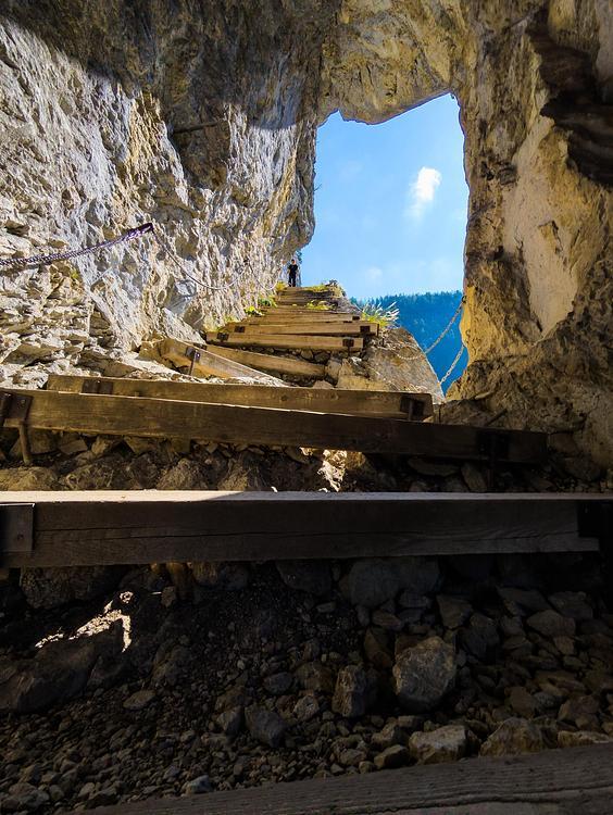
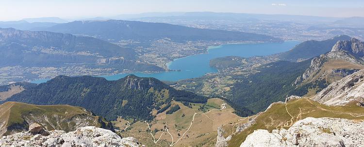
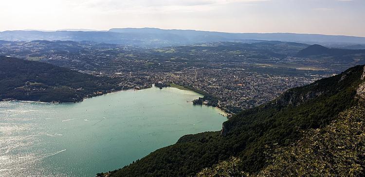
Explore this hiking route of 10,664mi starting from Doussard, Haute-Savoie. The hike is a loop and returns to the starting point. This hike has no defined difficulty level, plan for about 5h to complete it. The route has a positive elevation gain of 4334ft and a negative elevation loss of 4331ft.
Dent des Portes
Route details
Route profile
4334ft
Elevation +
4331ft
Elevation -
2569ft
Min altitude
6204ft
Max altitude
How to get there
Route starting point: Chemin De La Grande Combe, 74210 Doussard
GPS coordinates of the starting point: 45.72963, 6.22436 / 45°43'46'' N, 6°13'27'' E