
This hiking trail covers 8.36mi starting from Les Clefs, Haute-Savoie. The hike is a loop trail and returns to the trailhead. This hike is rated as strenuous, plan for about 5h31m to complete it. The route has an elevation gain of 4751ft and an elevation loss of 4721ft.
Description of the route by the creator
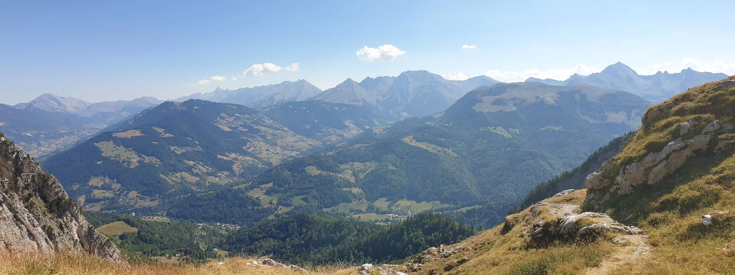
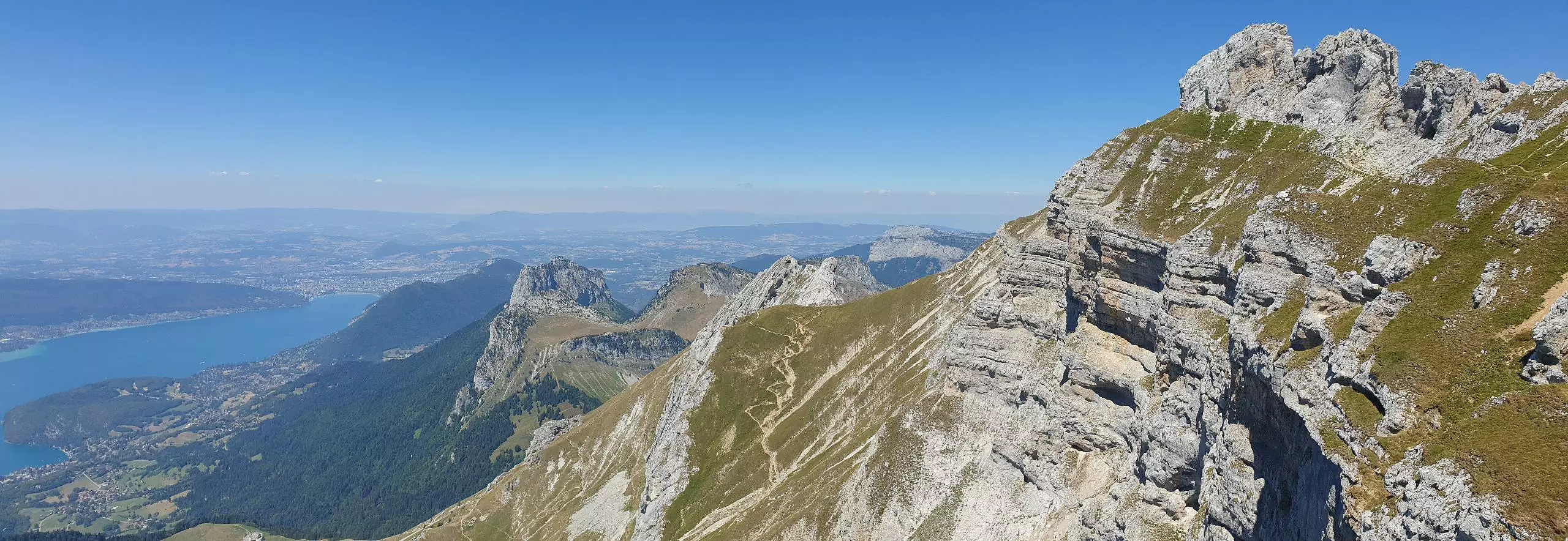
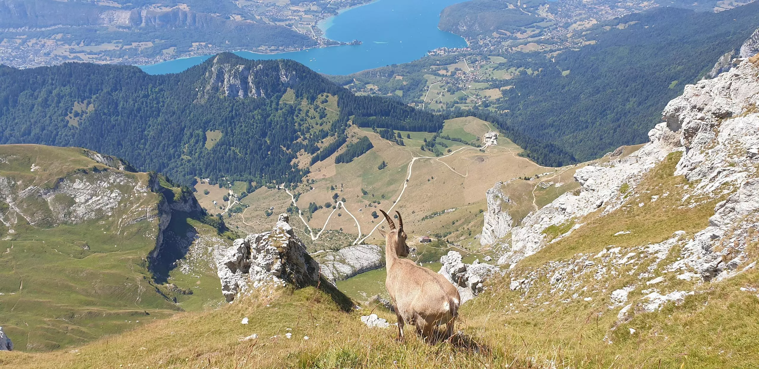
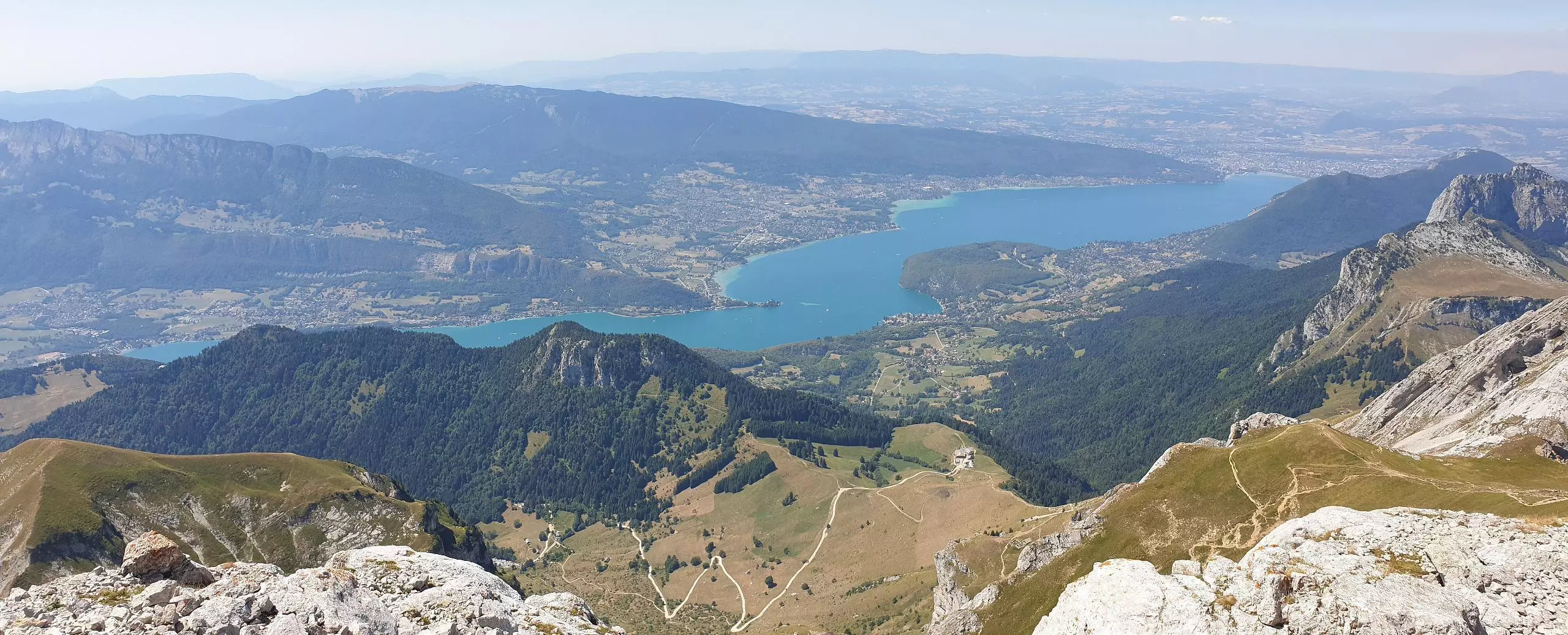
Park at the end of the Tournette road either on the parking lot or along the road. Follow the signs for the Rosairy refuge. Follow the path on the right 100m from the start. At the refuge, turn left to go to the combe des Vorets then to the col des Vorets. Continue on this path to reach the combe des Frets and go up on the right. Once at the top, turn right for the steepest path of the route. You arrive at the foot of the Tournette. Finish the ascent with the help of the ladders to reach the top. Take the same path for 50m then turn right to go back to the Rosairy refuge and then to the parking.


