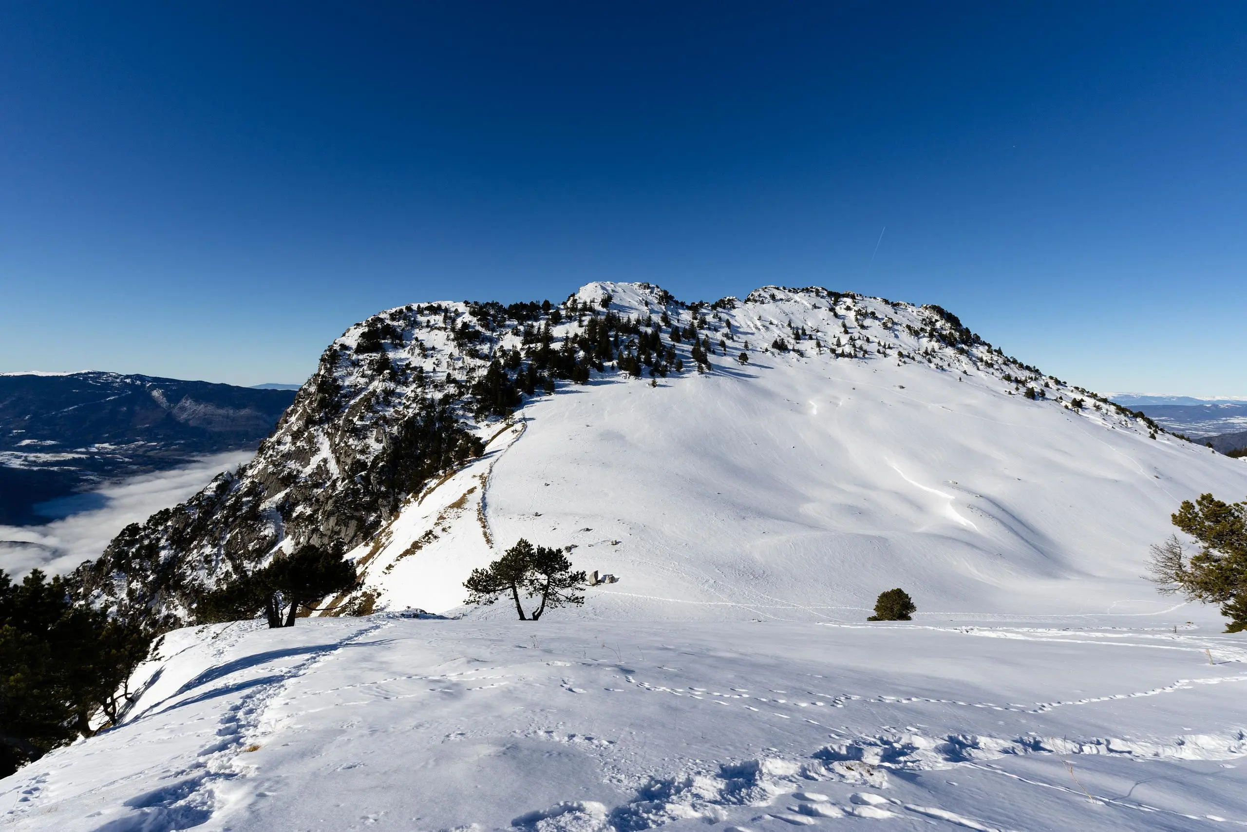
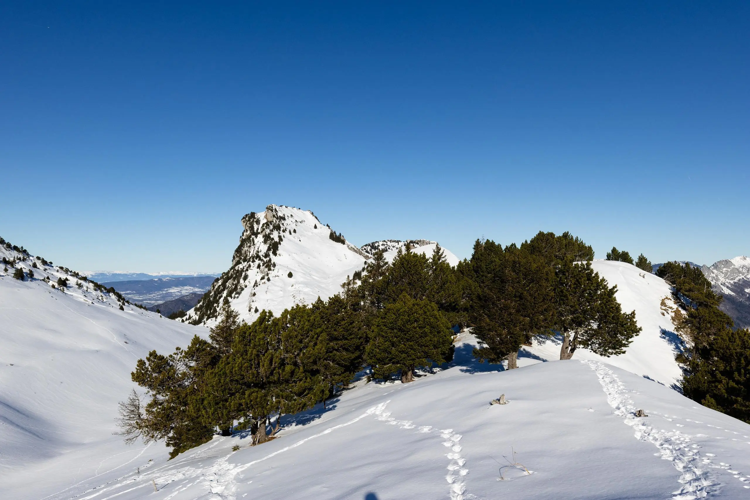
This hiking trail covers 6.183mi starting from Thônes, Haute-Savoie. The hike is a loop trail and returns to the trailhead. This hike is rated as hard, plan for about 4h21m to complete it. The route has an elevation gain of 3169ft and an elevation loss of 3182ft.
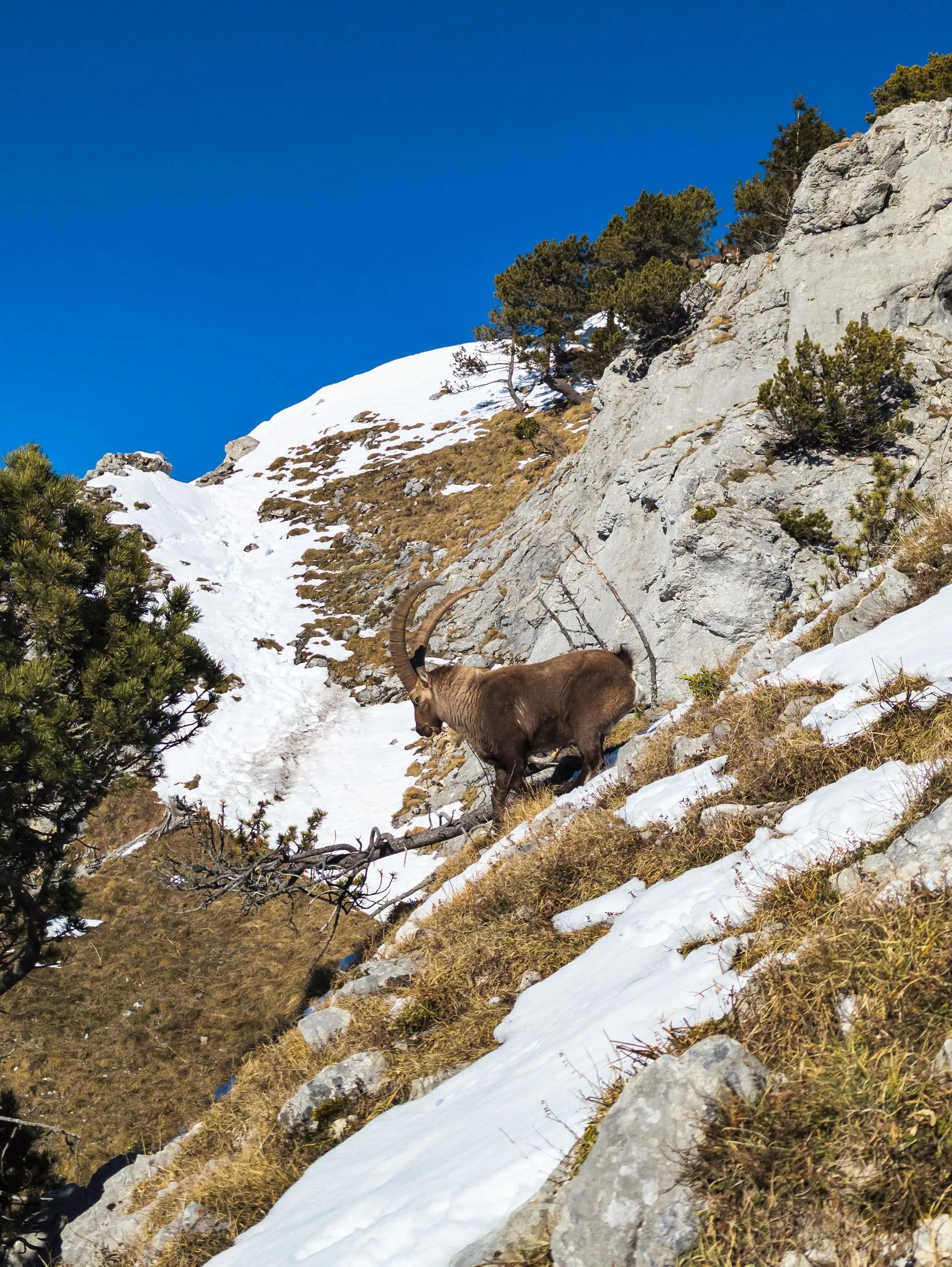
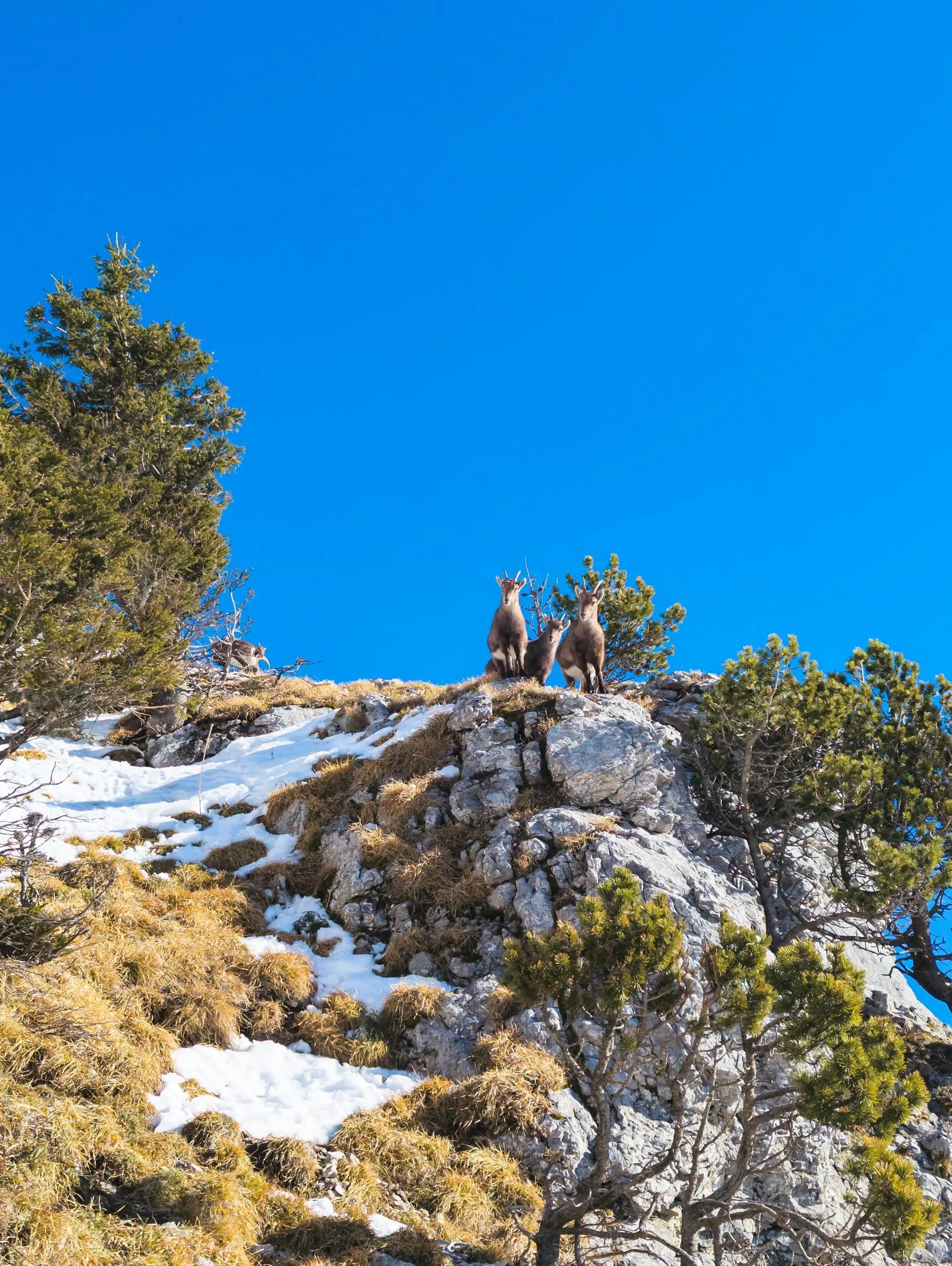
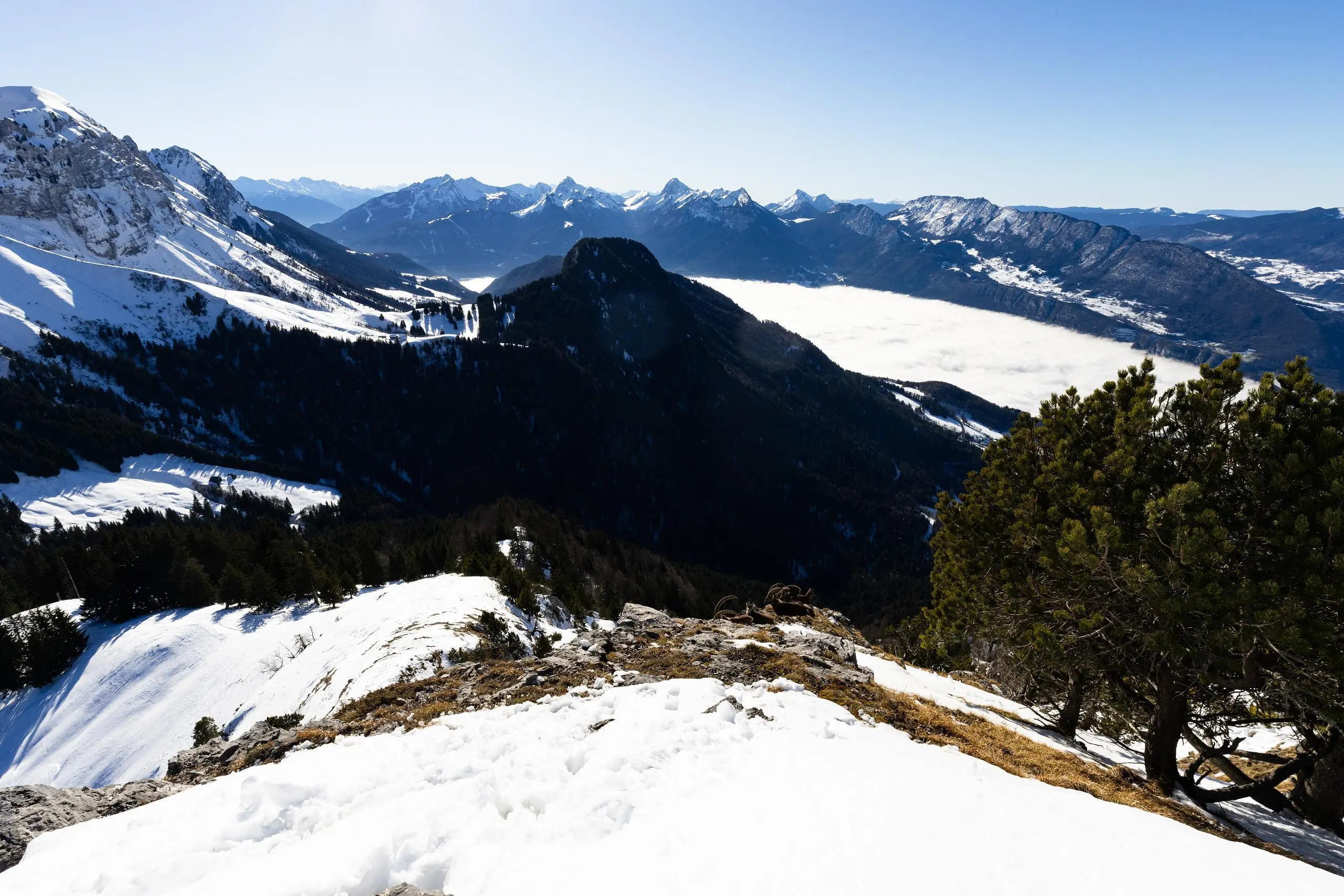
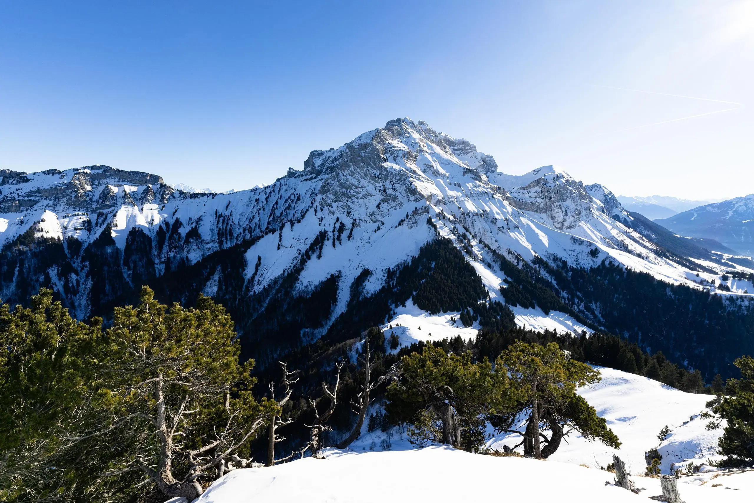
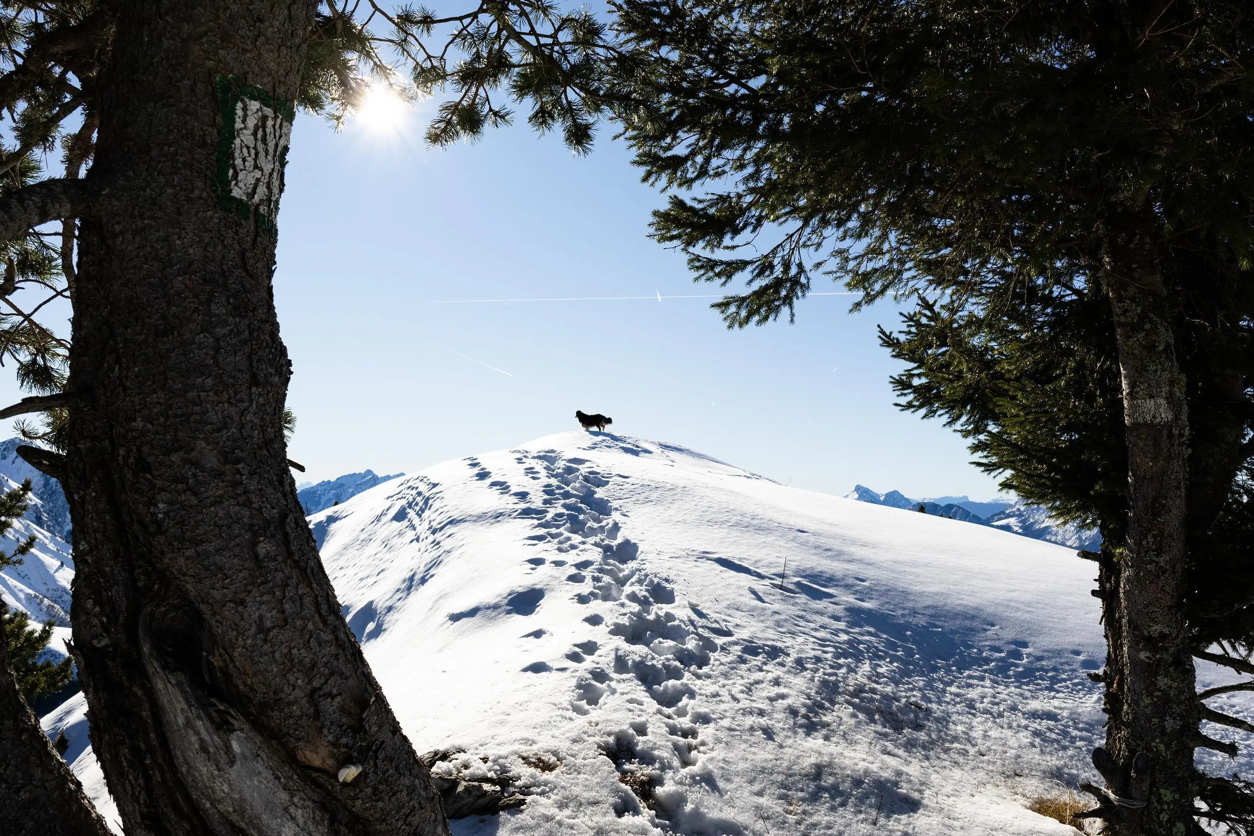
Pas de l'Aulp depuis Montremont dans la neige


Route details
1.42mph
Speed
2127 kcal
Calories burned
19.5%
Avg grade
Loop trail
Route type
2654ft
Min altitude
5548ft
Max altitude
Steep climb
Route profile
3169ft
Elevation gain
3182ft
Elevation loss
2654ft
Min altitude
5548ft
Max altitude
How to get there
Trailhead: 4349 Route De Montremont, 74230 Thônes, France
GPS coordinates of the trailhead: 45.8567, 6.2801 / 45°51'24'' N, 6°16'48'' E


