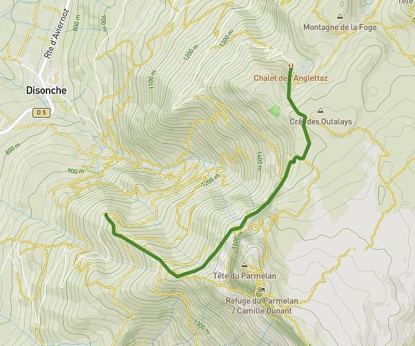
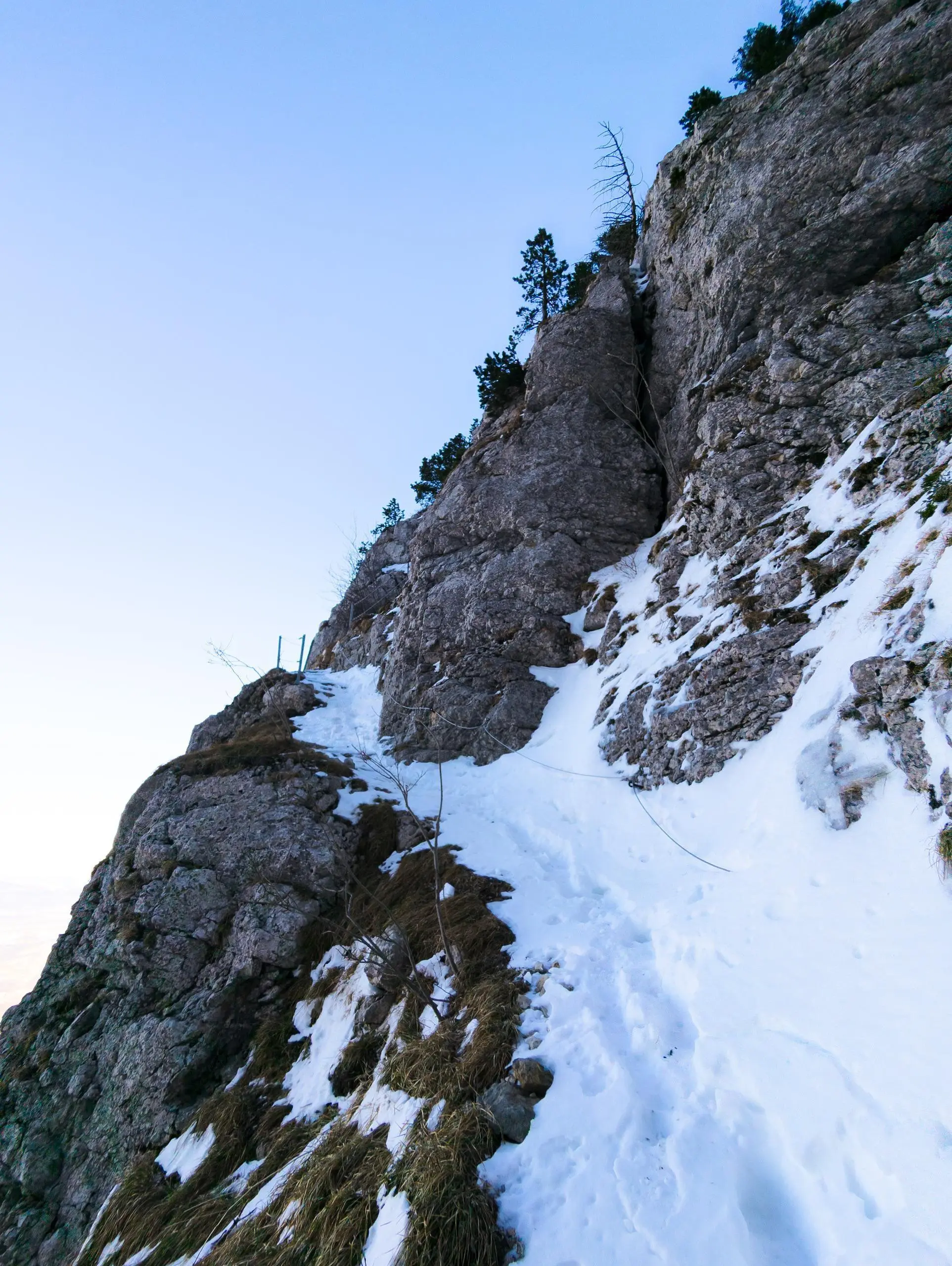
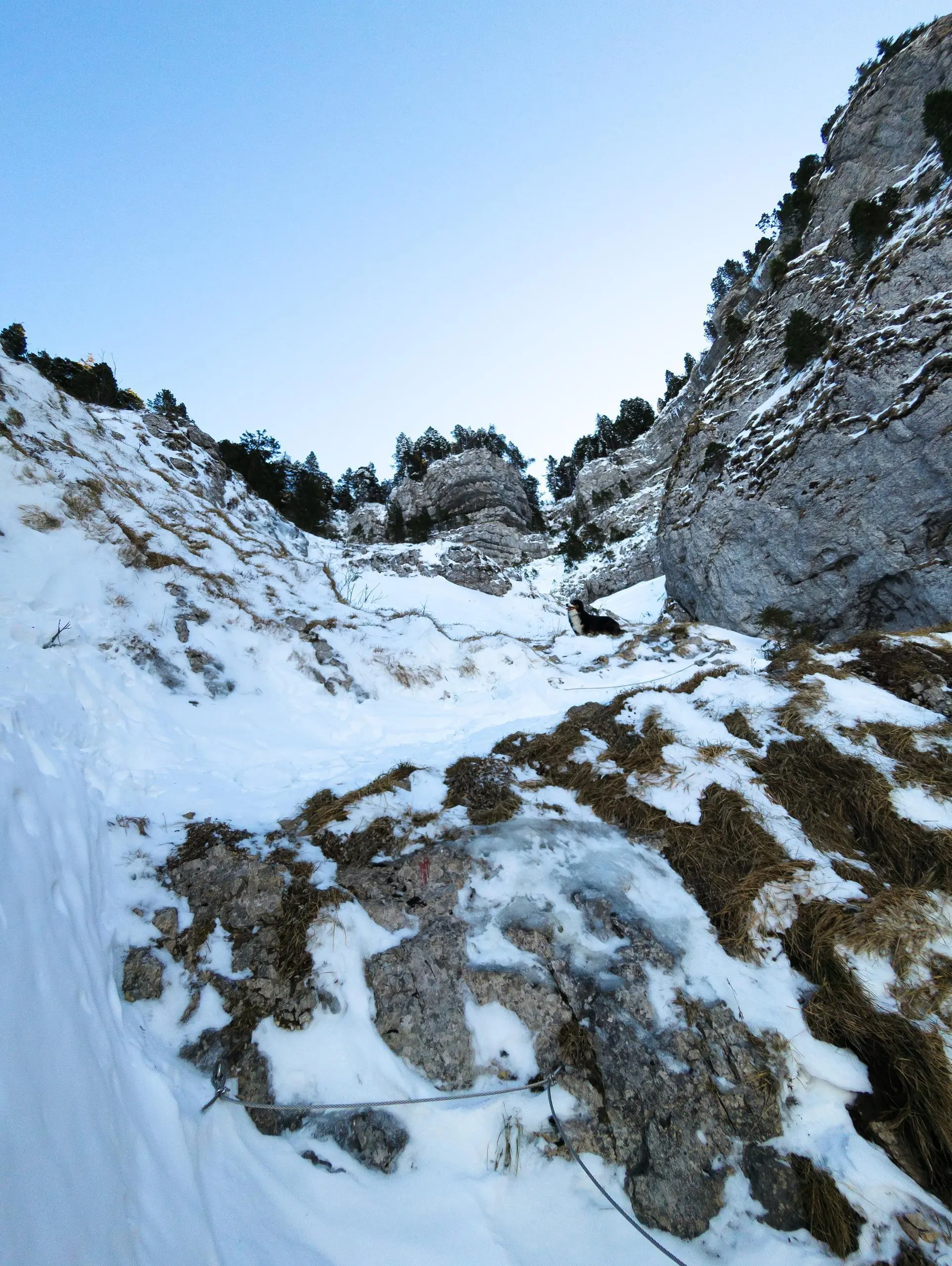
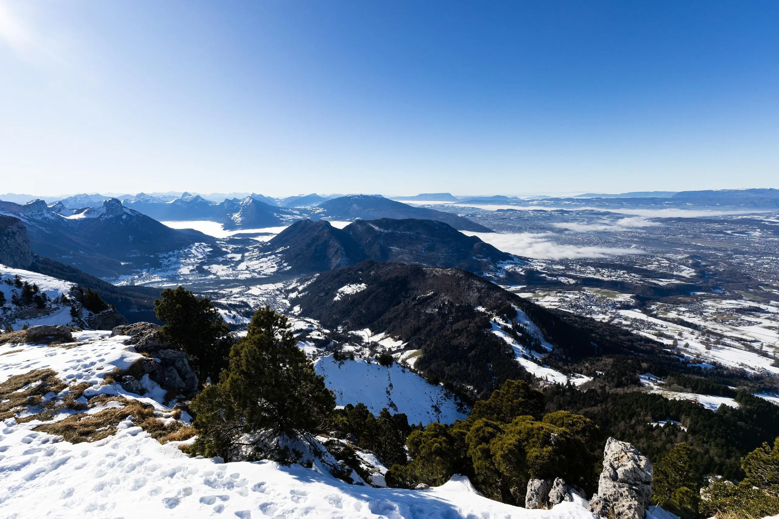
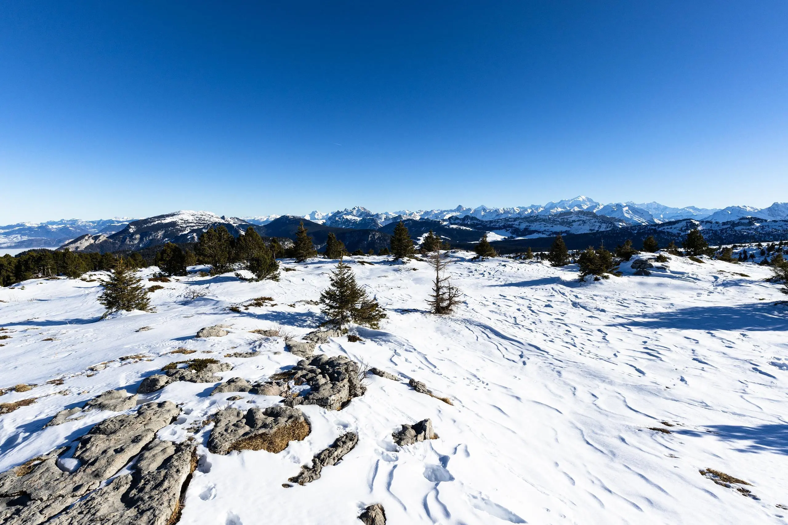
This hiking trail covers 6.943mi starting from Villaz, Haute-Savoie. The hike is a loop trail and returns to the trailhead. This hike is rated as hard, plan for about 3h24m to complete it. The route has an elevation gain of 3110ft and an elevation loss of 3133ft.
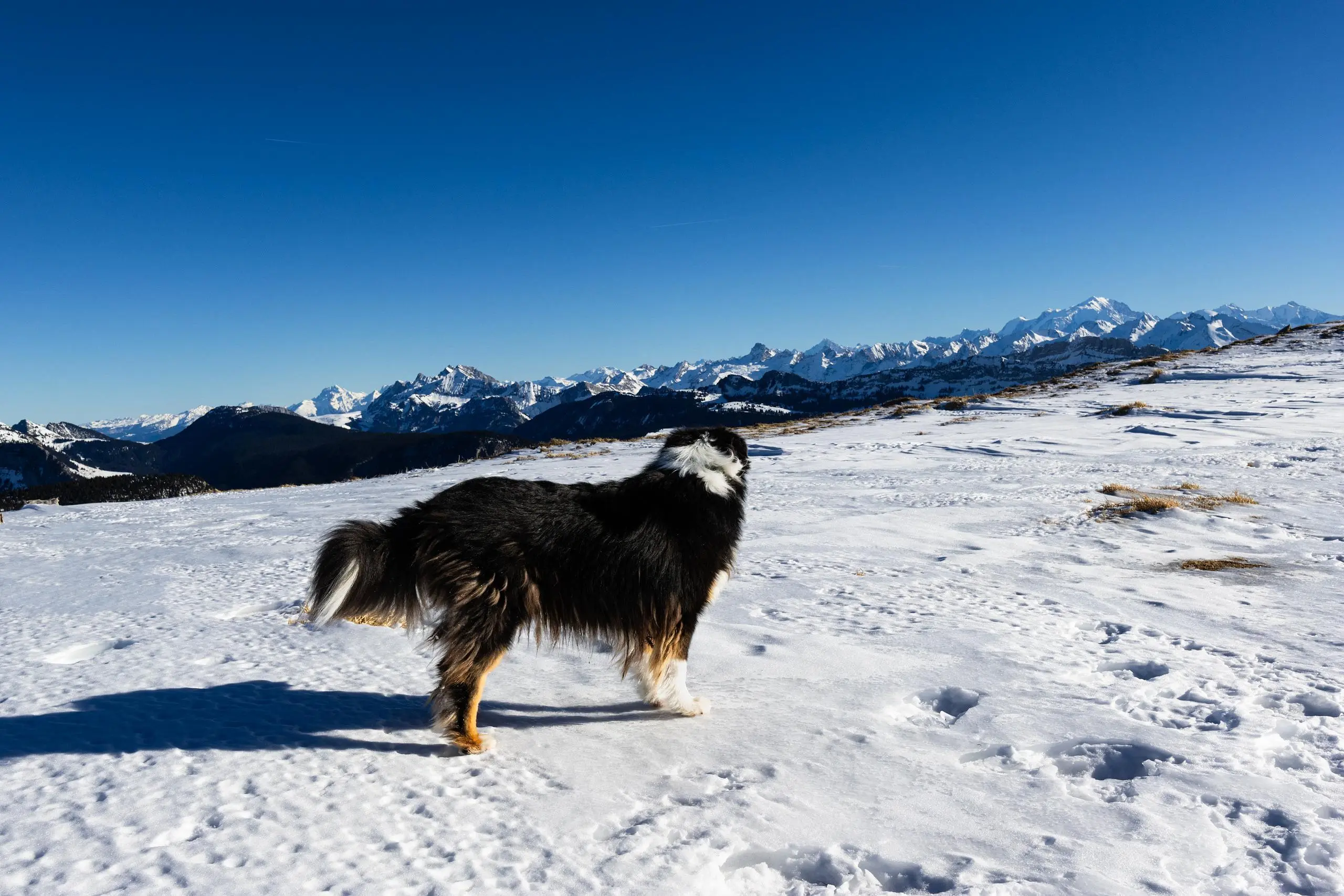
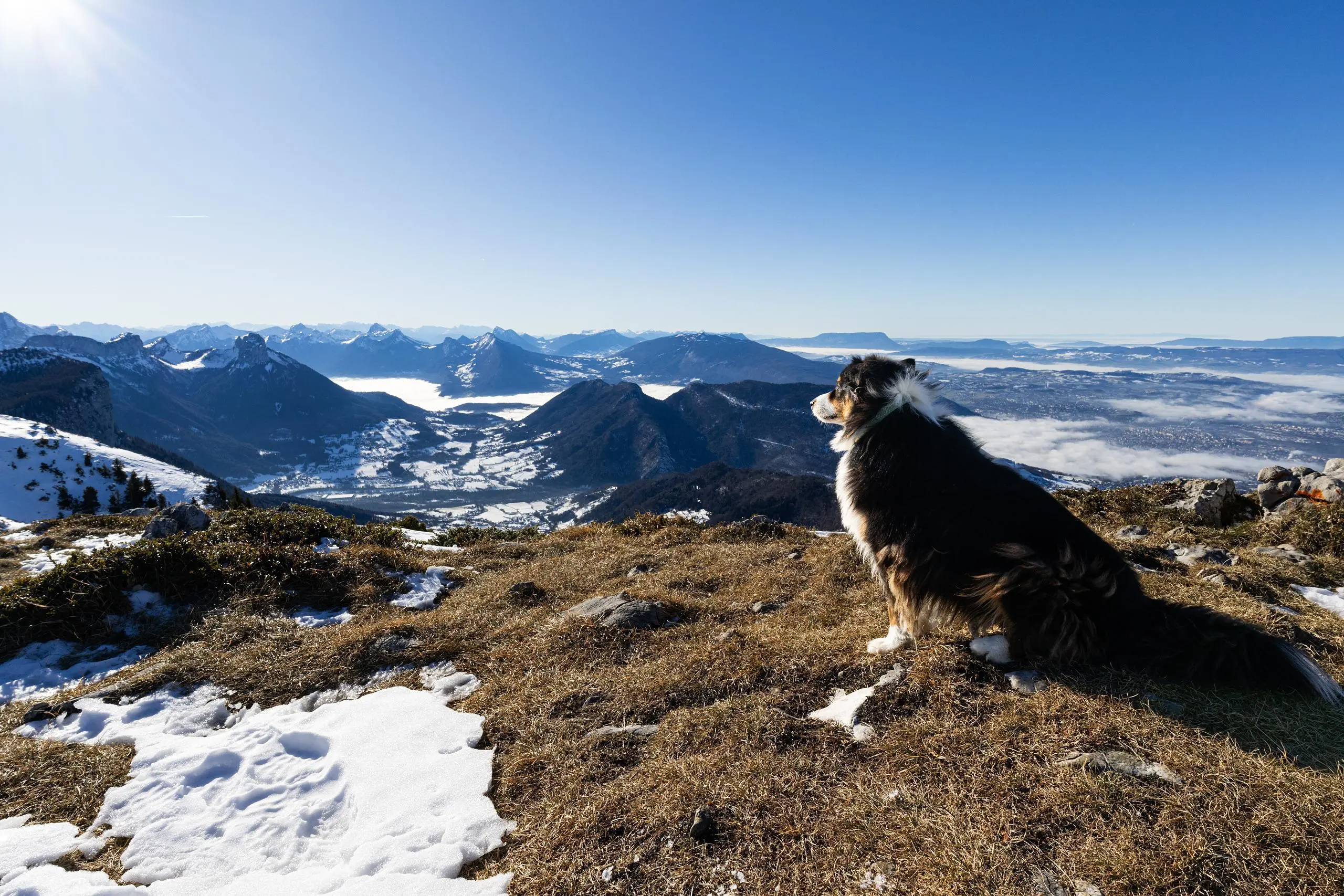
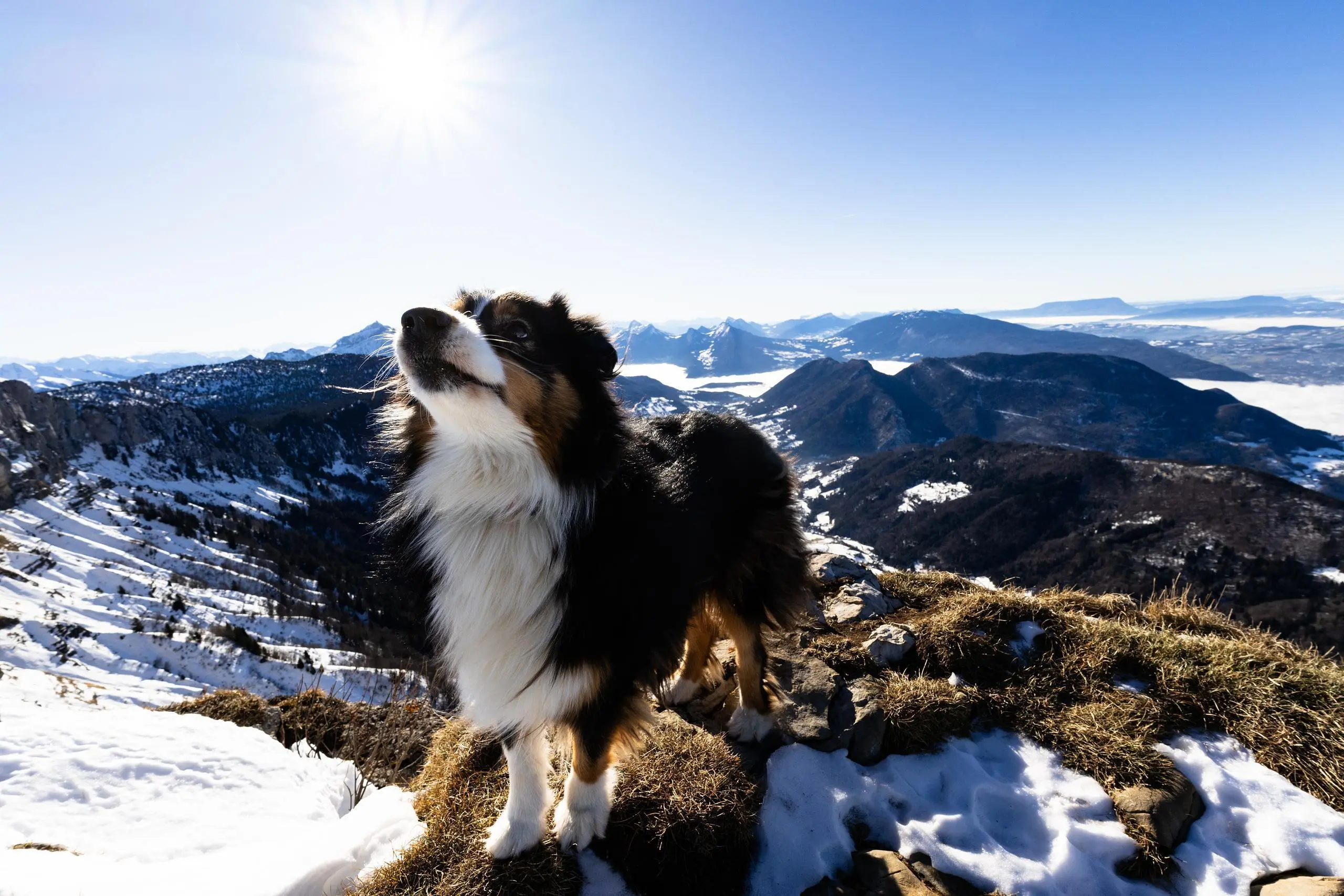
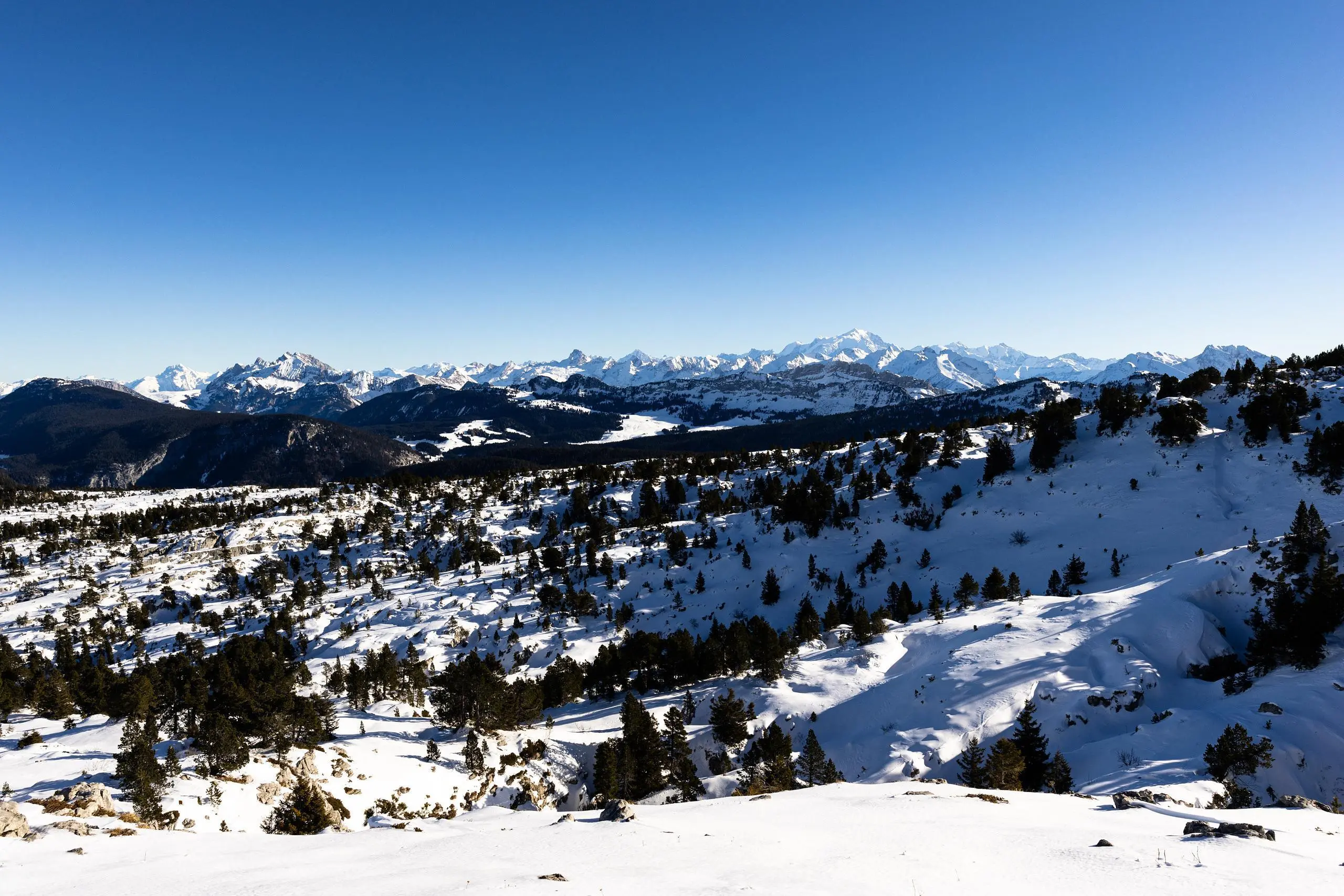
Tête du Parmelan depuis le bois brûlé dans la neige
Route details
2.04mph
Speed
1632 kcal
Calories burned
17.0%
Avg grade
Loop trail
Route type
3182ft
Min altitude
6017ft
Max altitude
Steep climb
Route profile
3110ft
Elevation gain
3133ft
Elevation loss
3182ft
Min altitude
6017ft
Max altitude
How to get there
Trailhead: 605 Route Du Parmelan, 74370 Villaz, France
GPS coordinates of the trailhead: 45.94351, 6.21457 / 45°56'36'' N, 6°12'52'' E