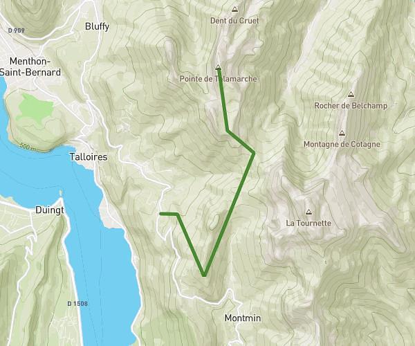

This hiking trail covers 4.511mi starting from La Balme-de-Sillingy, Haute-Savoie. The hike is a loop trail and returns to the trailhead. This hike is rated as easy, plan for about 3h20m to complete it. The route has an elevation gain of 1447ft and an elevation loss of 1457ft.
Description of the route by the creator
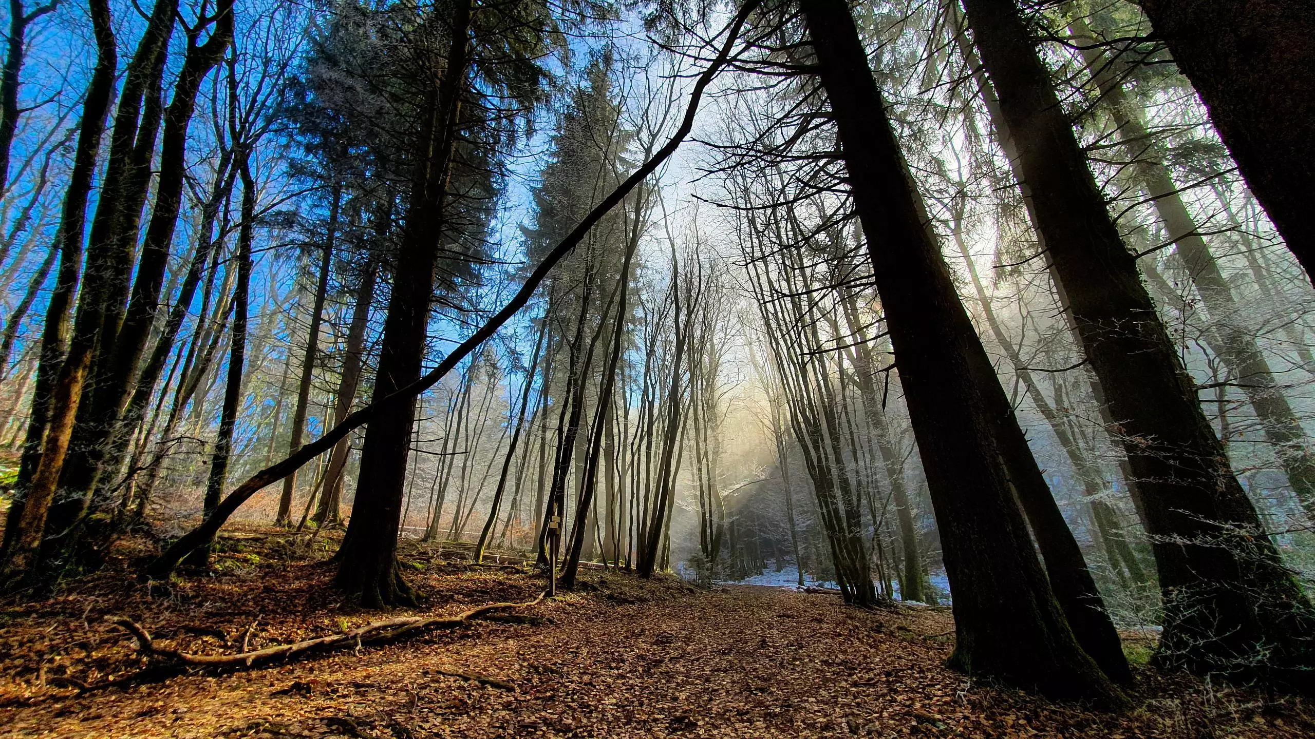
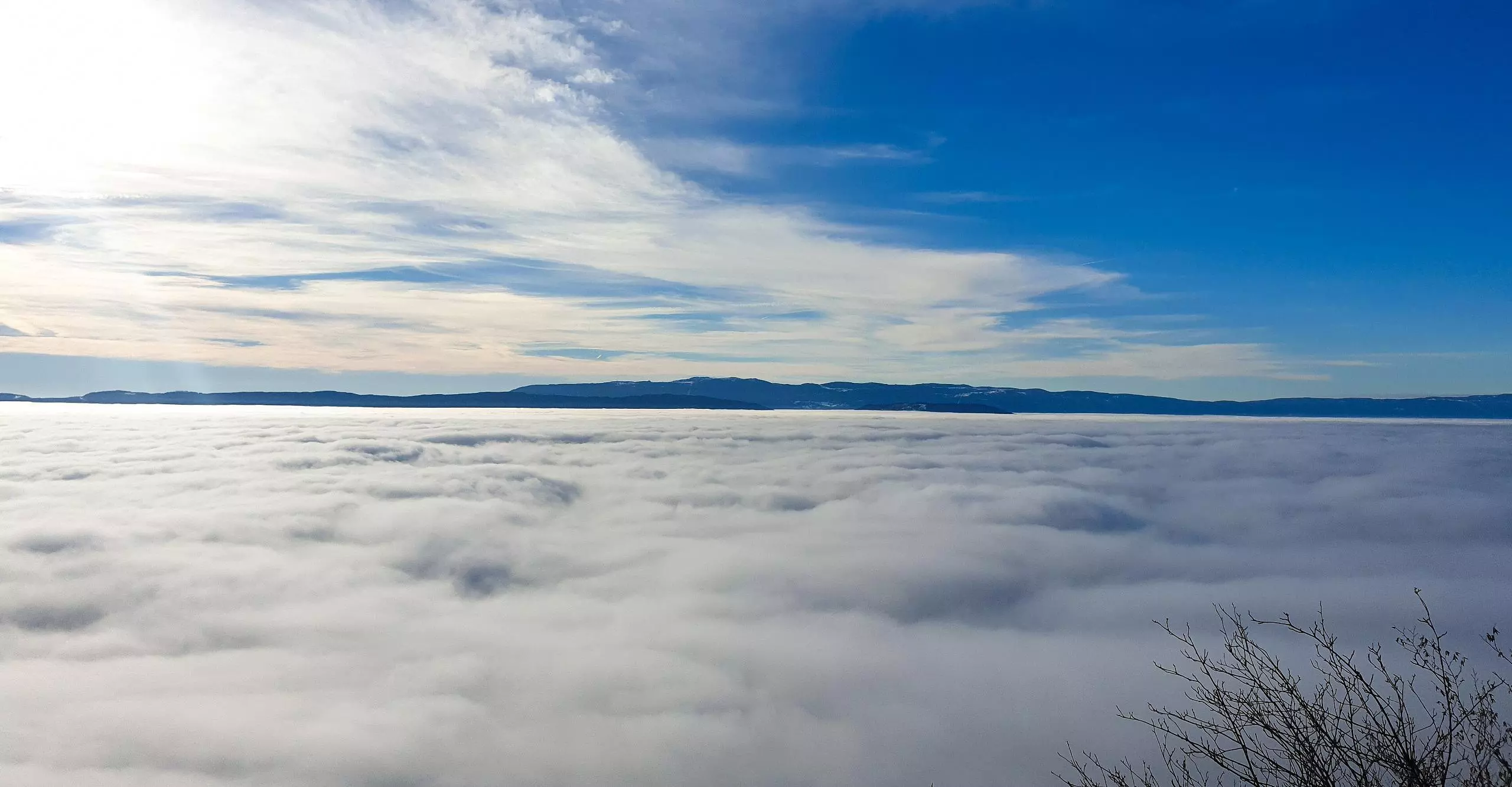
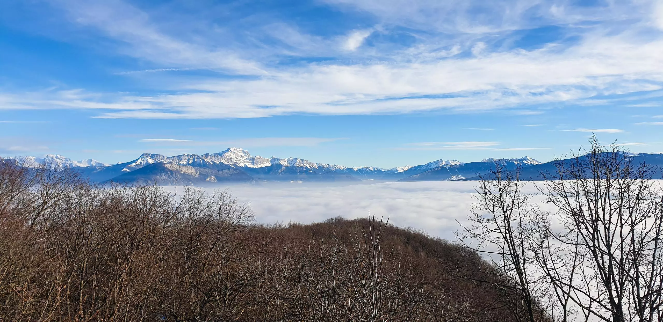
Route from the village of La Balme de Sillingy to the summit of the Mandallaz. Park on the parking of the cemetery of La Balme de Sillingy. Take the path starting on the left of the cemetery. Then follow the signs to the Tête de Mandallaz. After 15 to 20 minutes, it is possible to make a loop to reach the Tête. The time is almost the same. Continue to follow the signs to the summit at the Tête. The view is clear from the geodesic point. Once at the top, take the other way down to La Balme de Sillingy following the signs.