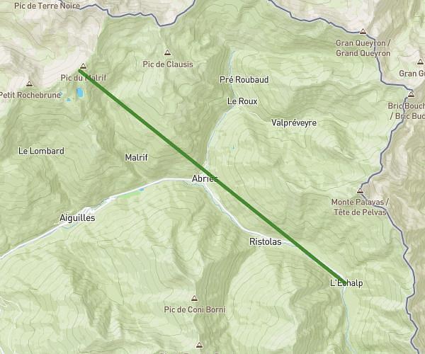
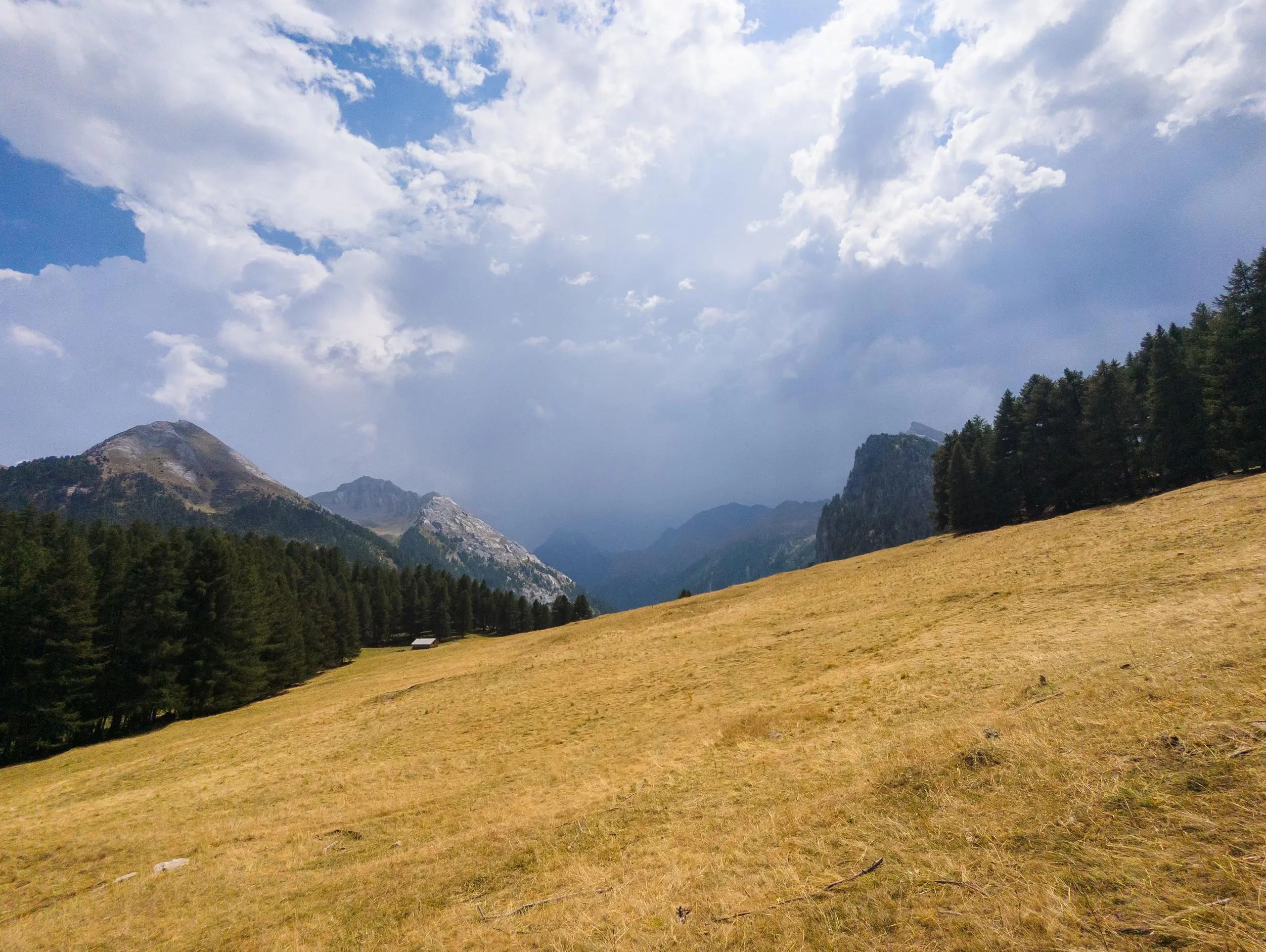
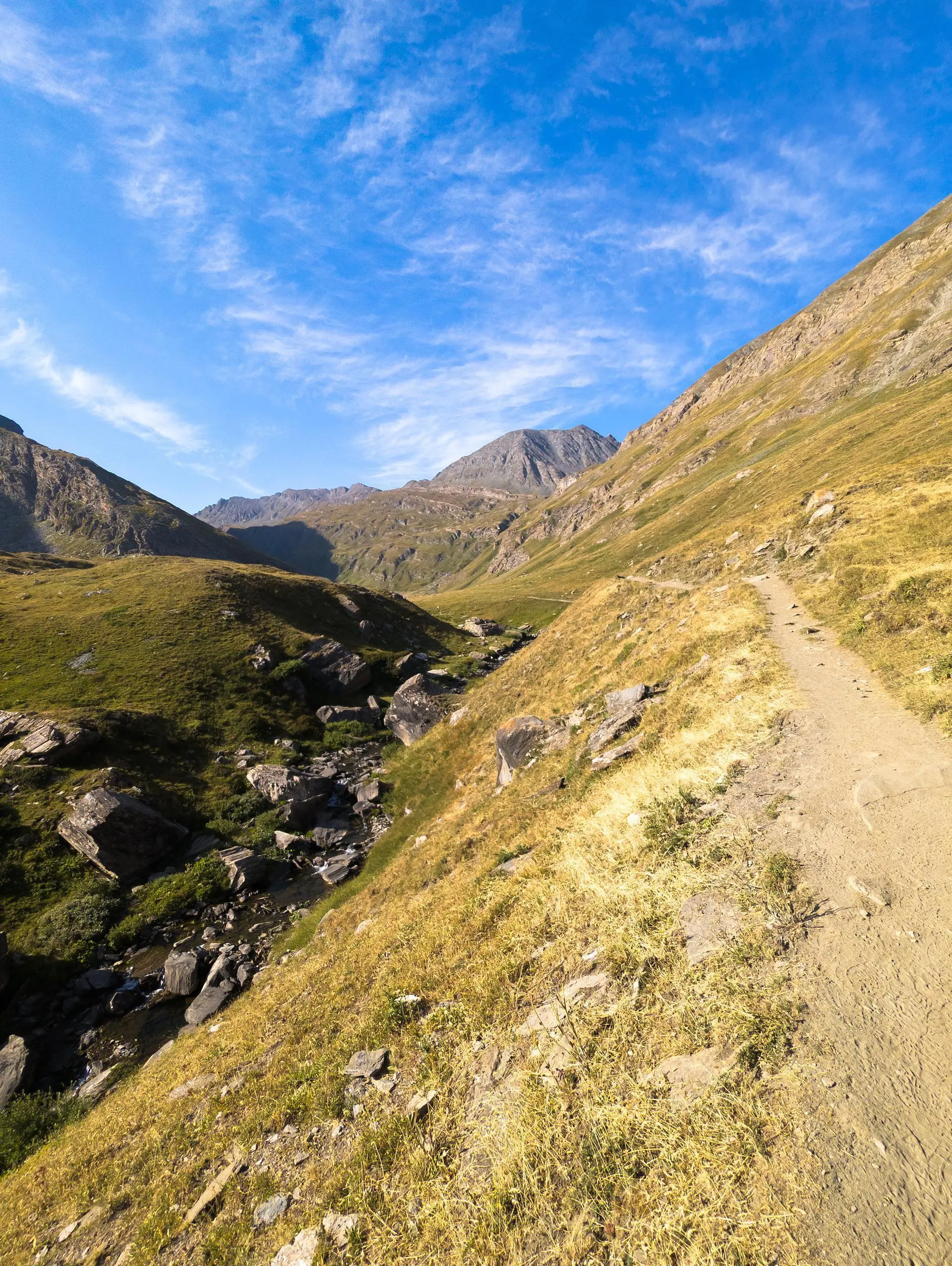
MapPlanner
11,746mi
Distance
6h27m
Duration
1,82mph
Speed
3921ft
Elevation +
3881ft
Elevation -
5584ft
Min altitude
8668ft
Max altitude
Difficult
Level

Lacs Égorgéou et Foréant depuis L'Echalp

On the way back, a thunderstorm narrowly avoided!
Shaded path on the first section
Ascent to the lakes
Ascent to the lakes
Small lake along the path
The shepherd with his mounts and the patous hiding behind!
Lake Egorgéou
Lake Egorgéou
Lac de Foréant
Lac de Foréant
Distant view of Lake Egorgéou
Lac de Foréant
Lac de Foréant

Route details

Explore this hiking route of 11,746mi starting from Abriès-Ristolas, Hautes-Alpes. The hike is a loop and returns to the starting point. This hike is rated as difficult, plan for about 6h27m to complete it. The route has a positive elevation gain of 3921ft and a negative elevation loss of 3881ft.

Description of the route by the creator

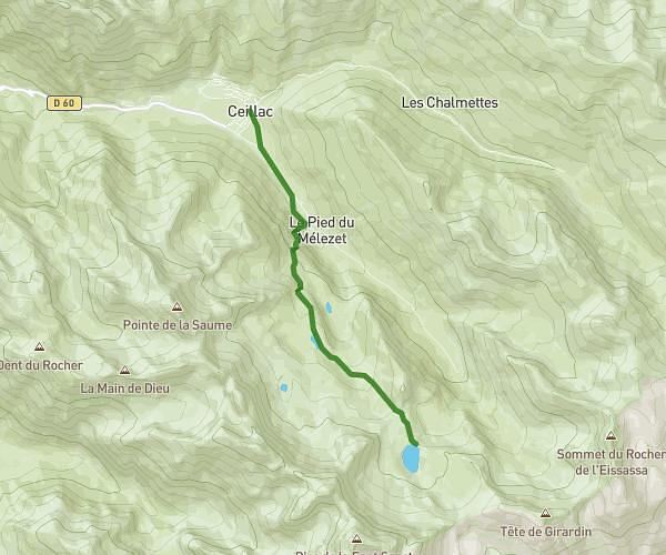
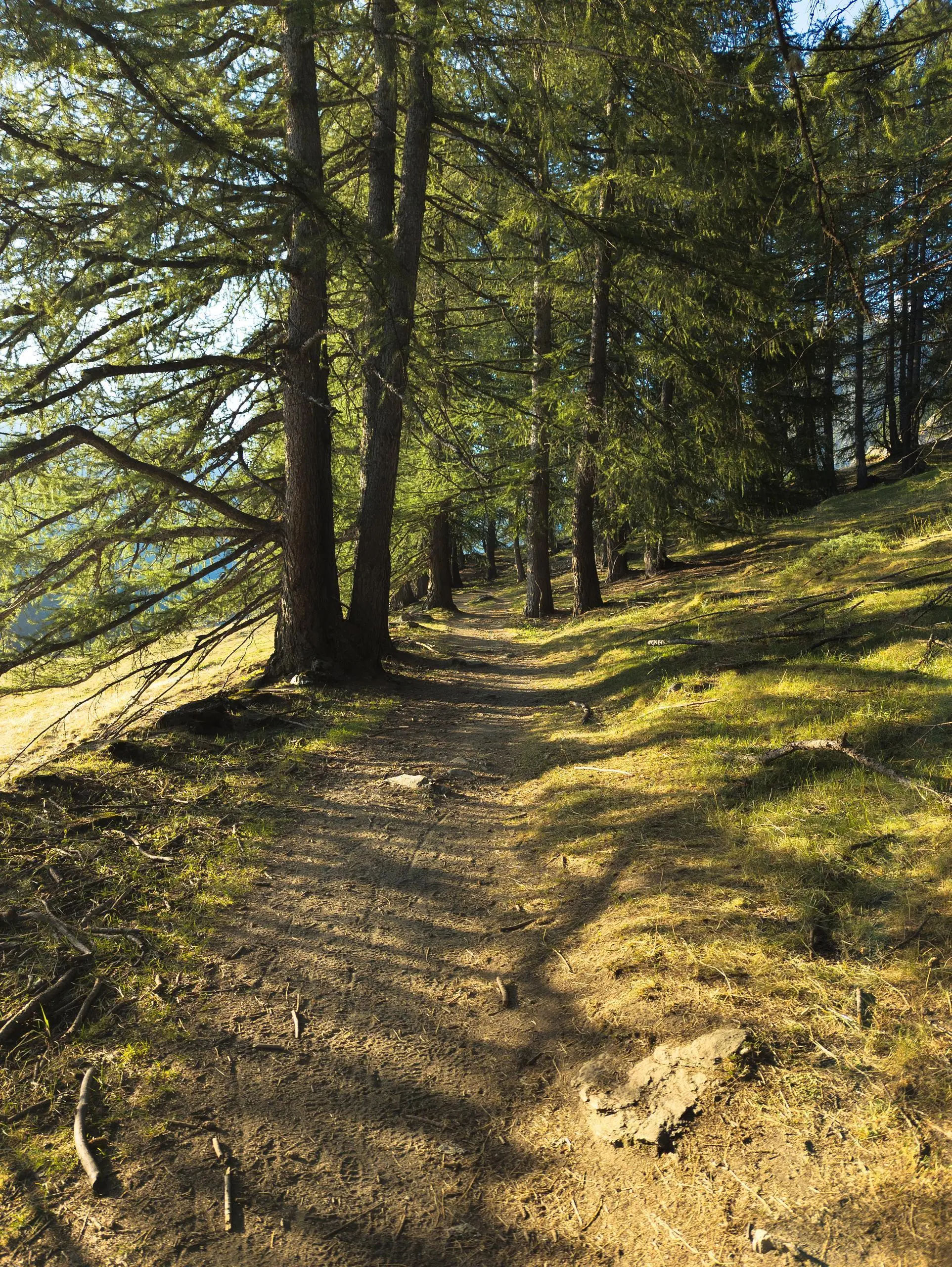
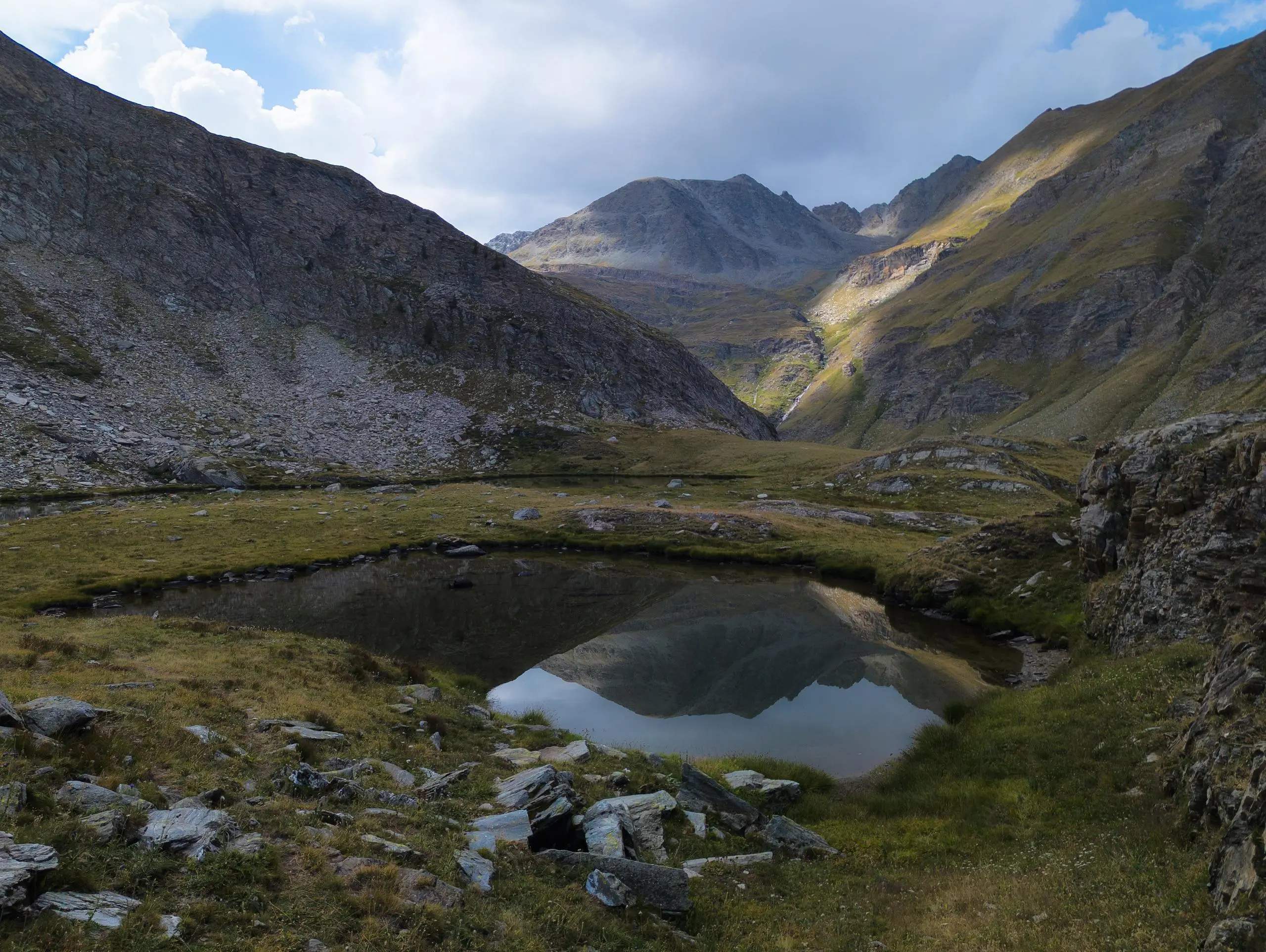
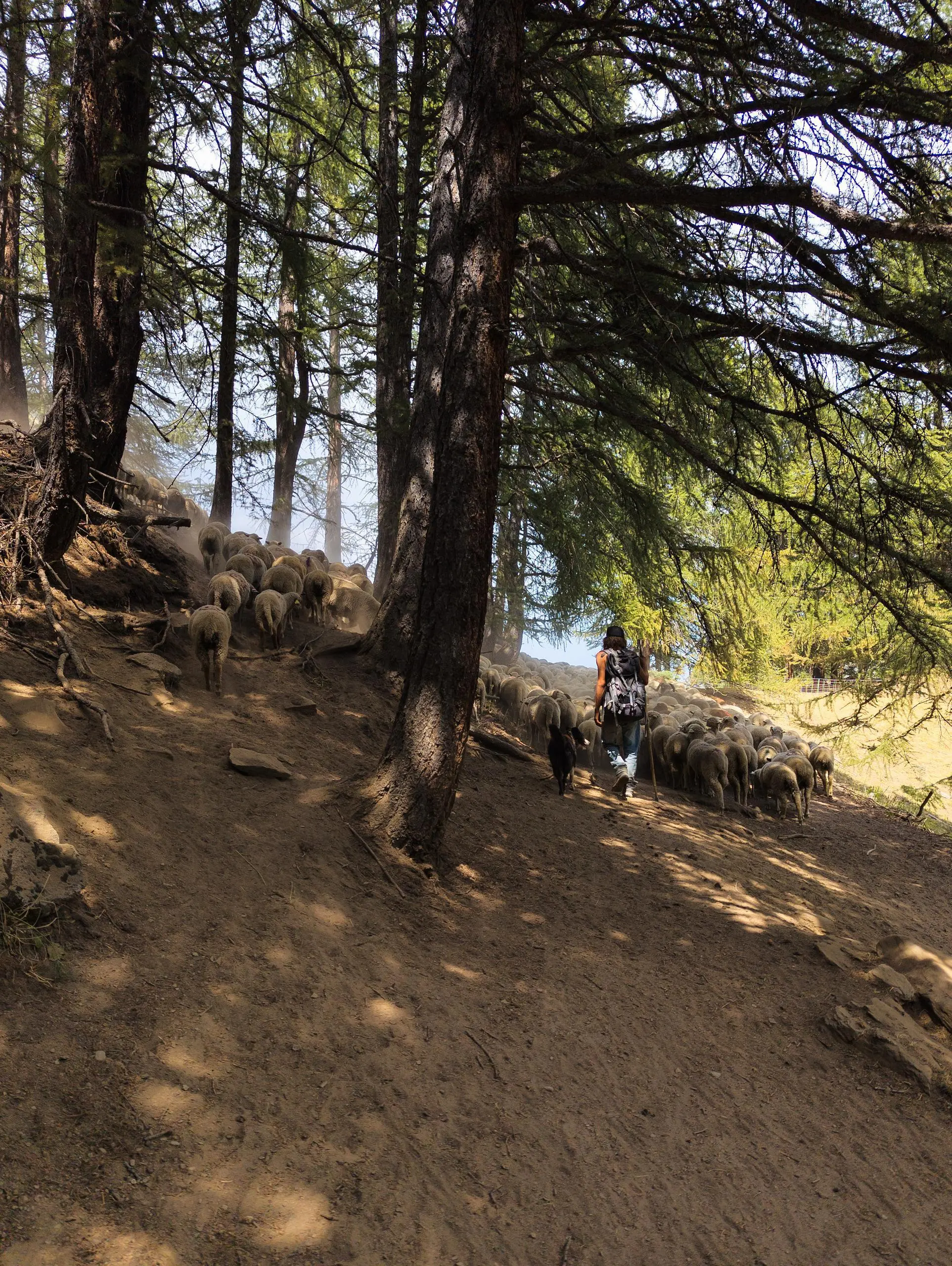
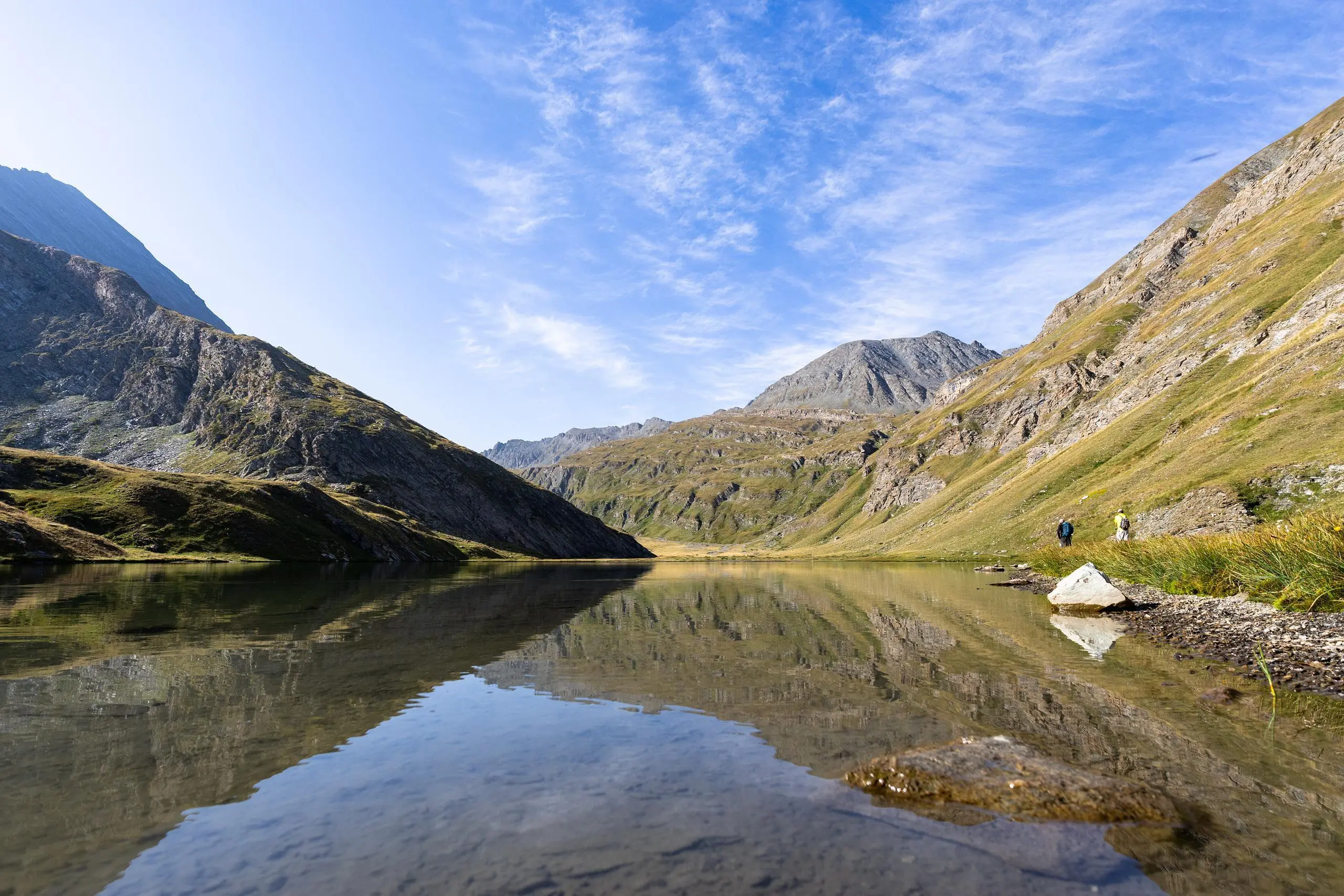
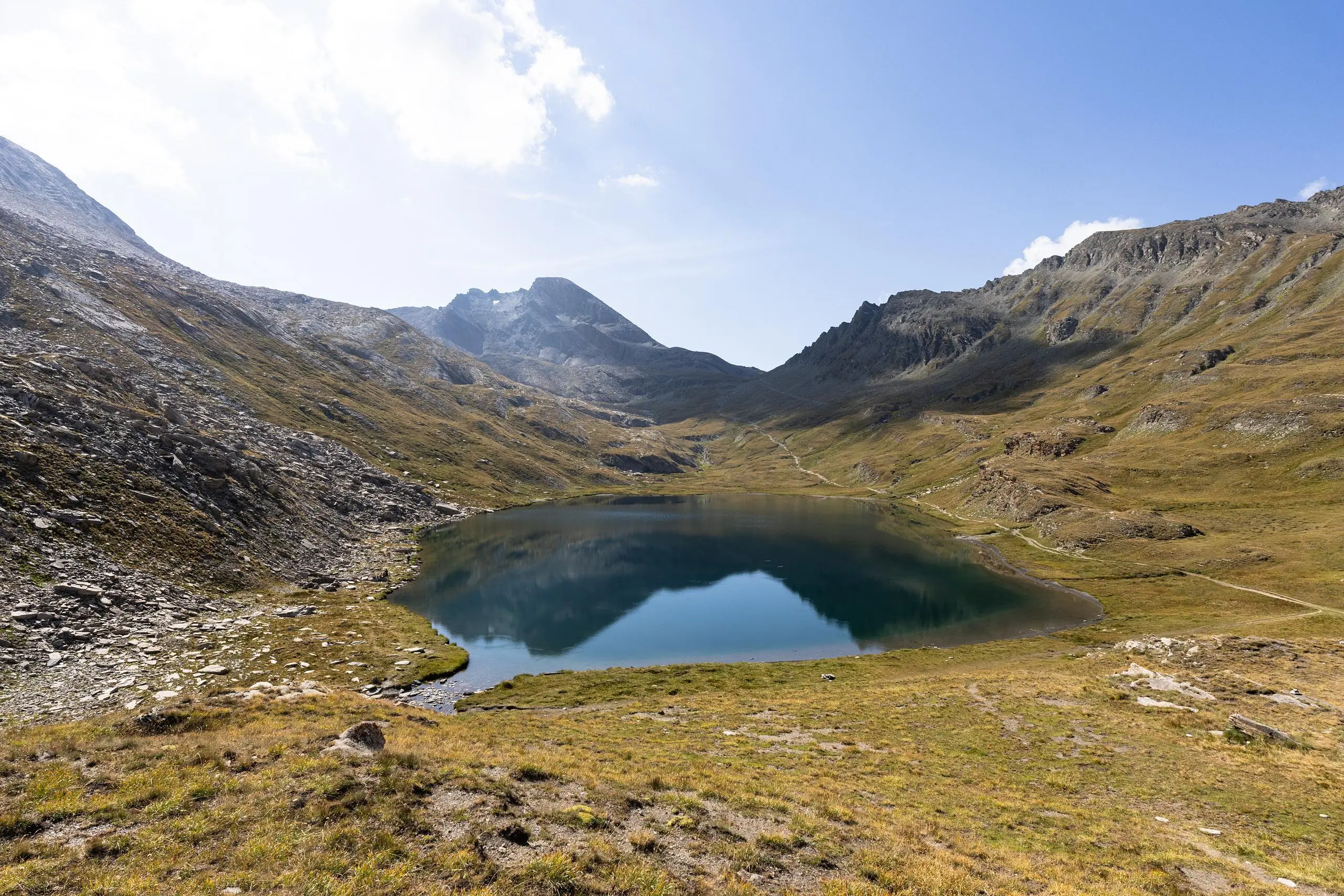
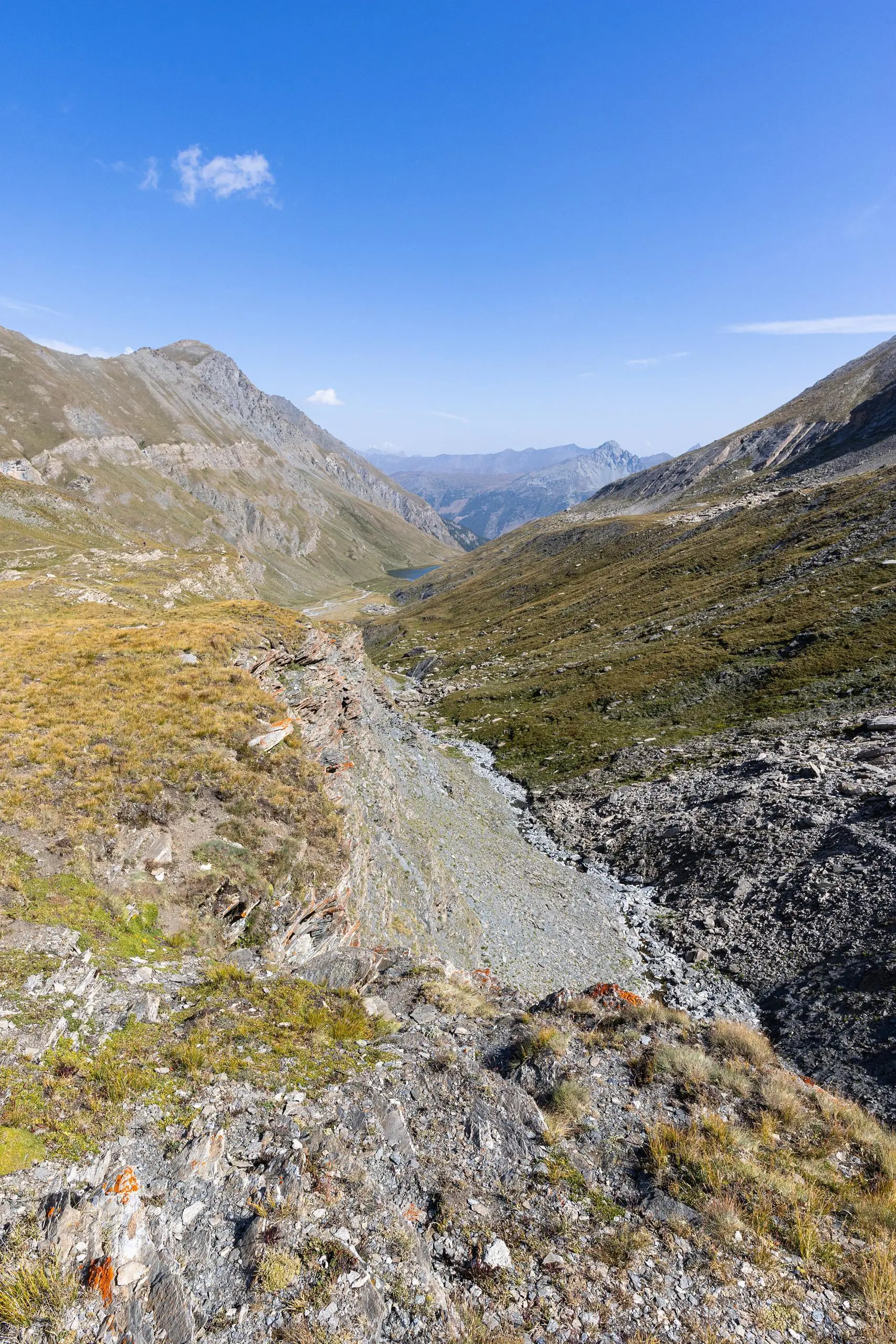
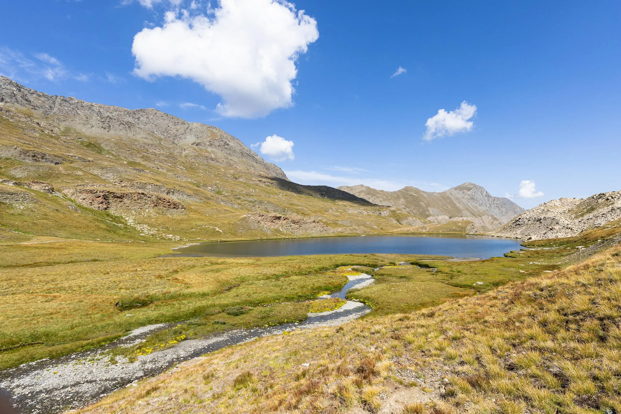
From the Echalp parking lot, follow the signs first to Lac d'Égorgéou, then a little further up to Lac de Foréant. Return along the same path. The route presents no difficulty apart from the length and height difference. Please note: in summer, the path passes through a sheep park (which cannot be bypassed) guarded by patous.

(Description automatically translated)

Route profile

3921ft
Elevation +
3881ft
Elevation -
5584ft
Min altitude
8668ft
Max altitude

How to get there

Route starting point: D 947, 05460 Abriès-Ristolas, France

GPS coordinates of the starting point: 44.75822, 6.99287 / 44°45'29'' N, 6°59'34'' E