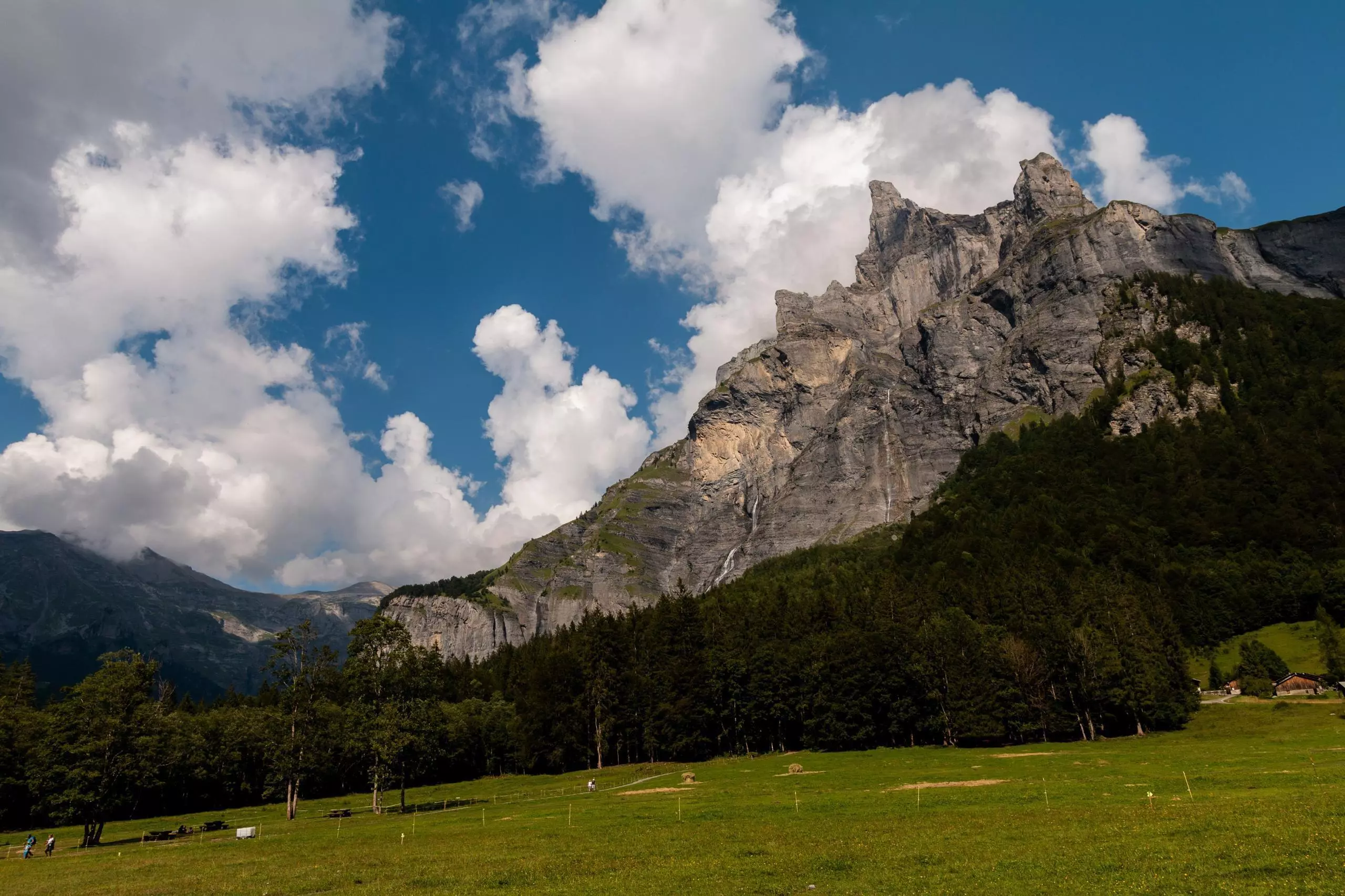
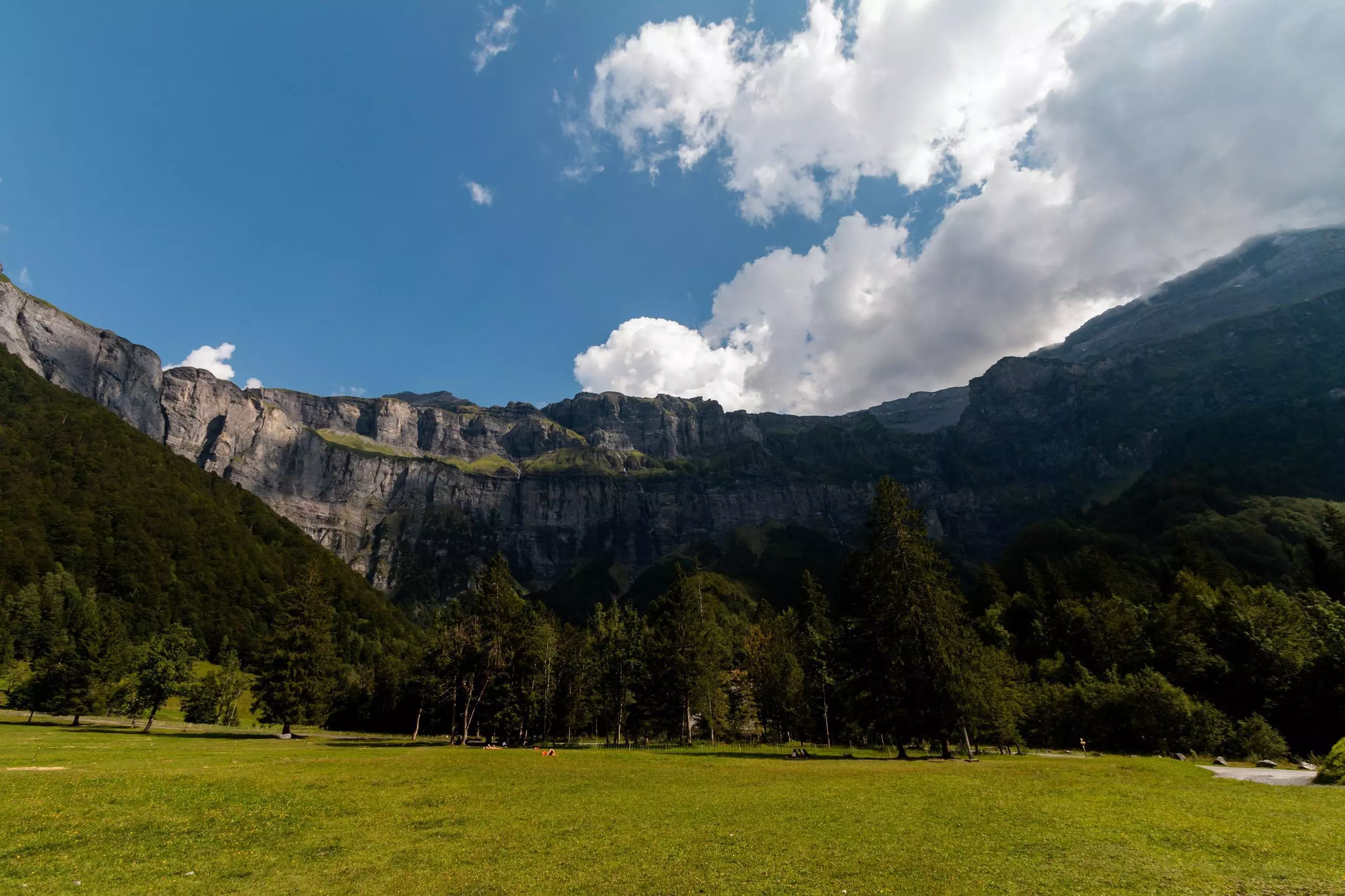
MapPlanner
5,276mi
Distance
3h35m
Duration
1,47mph
Speed
541ft
Elevation +
541ft
Elevation -
3077ft
Min altitude
3501ft
Max altitude

Le Cirque du Fer-à-Cheval

Waterfall Le Bout du Monde

Route details

Explore this hiking route of 5,276mi starting from Sixt-Fer-à-Cheval, Haute-Savoie. The hike is a loop and returns to the starting point. This hike has no defined difficulty level, plan for about 3h35m to complete it. The route has a positive elevation gain of 541ft and a negative elevation loss of 541ft.

Description of the route by the creator

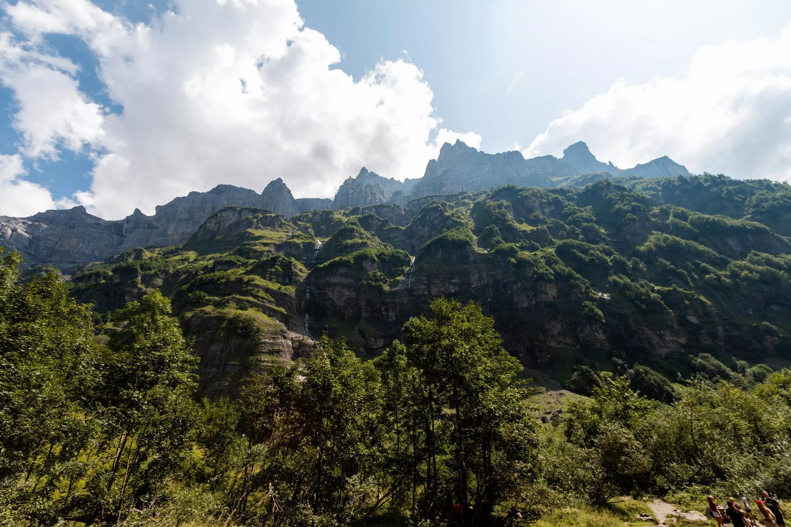
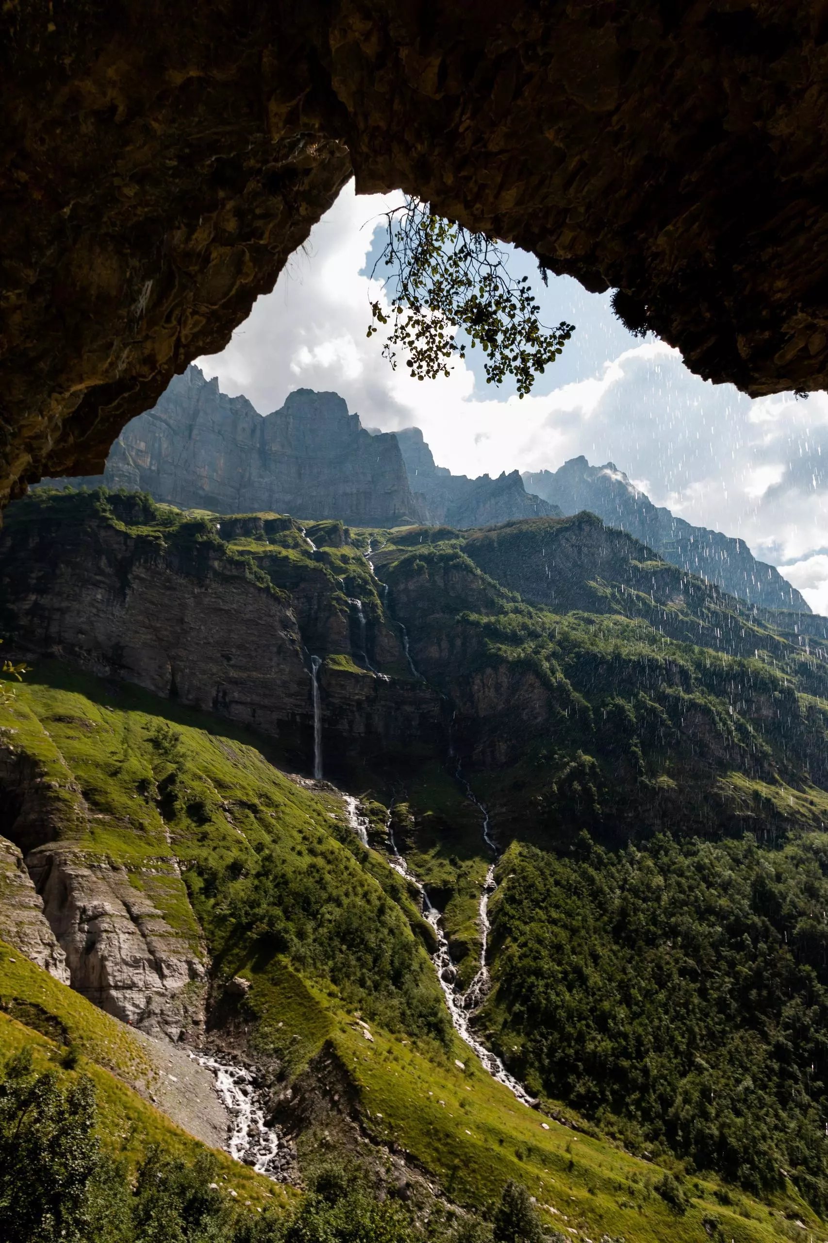
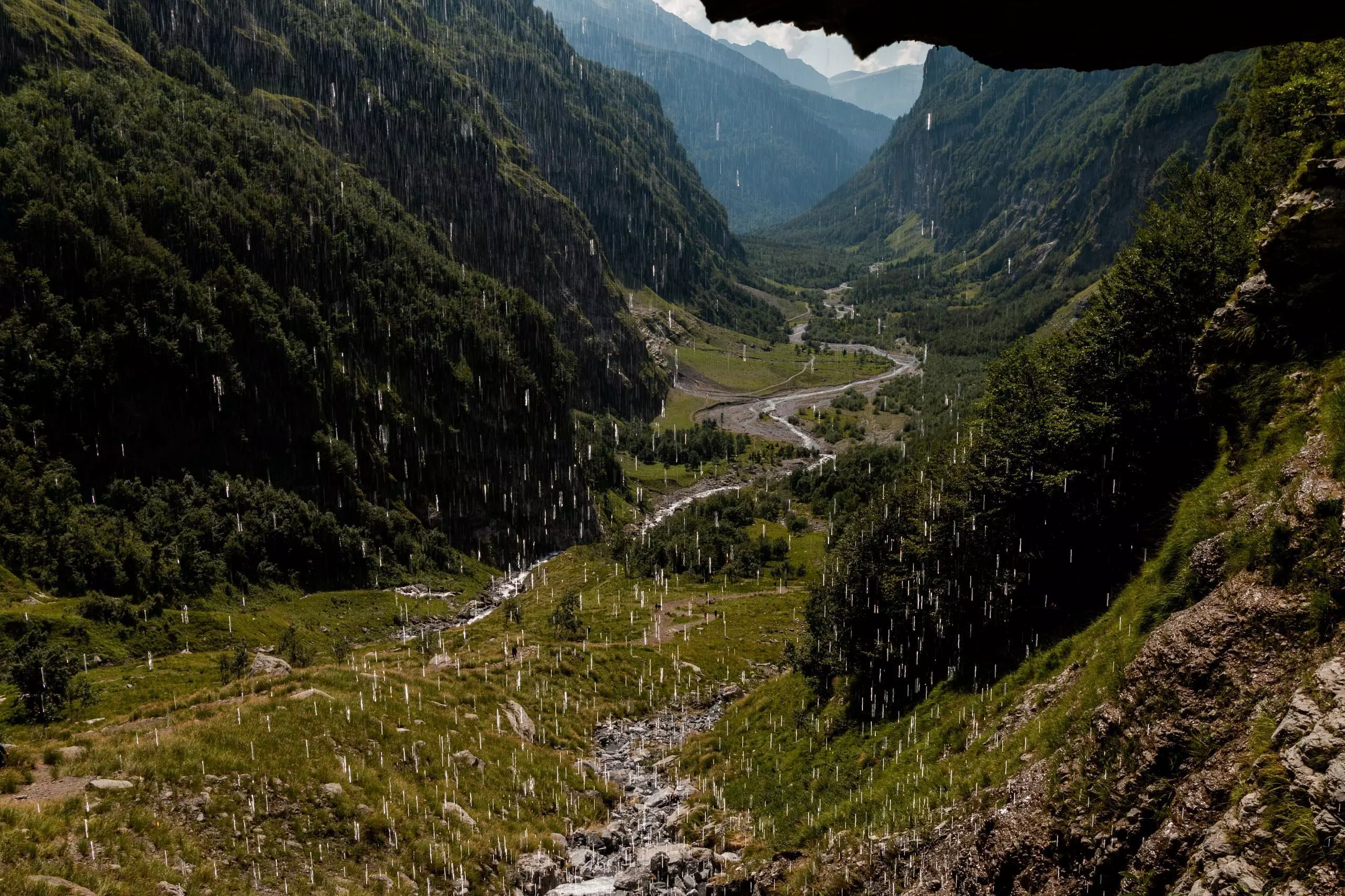
Visit of the Cirque du Fer-à-Cheval from the parking lot to the waterfall Le Bout du Monde.

(Description automatically translated)

Route profile

541ft
Elevation +
541ft
Elevation -
3077ft
Min altitude
3501ft
Max altitude

How to get there

Route starting point: D 907, 74740 Sixt-Fer-à-Cheval

GPS coordinates of the starting point: 46.07741, 6.83799 / 46°4'38'' N, 6°50'16'' E