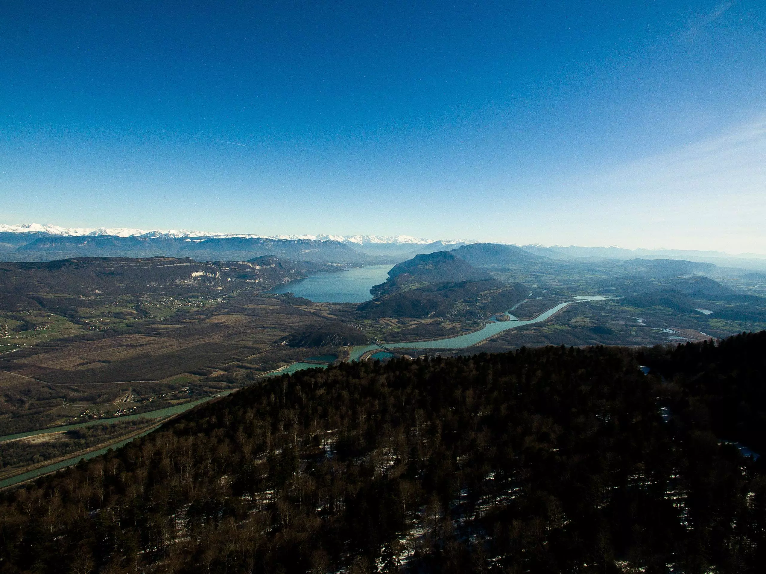
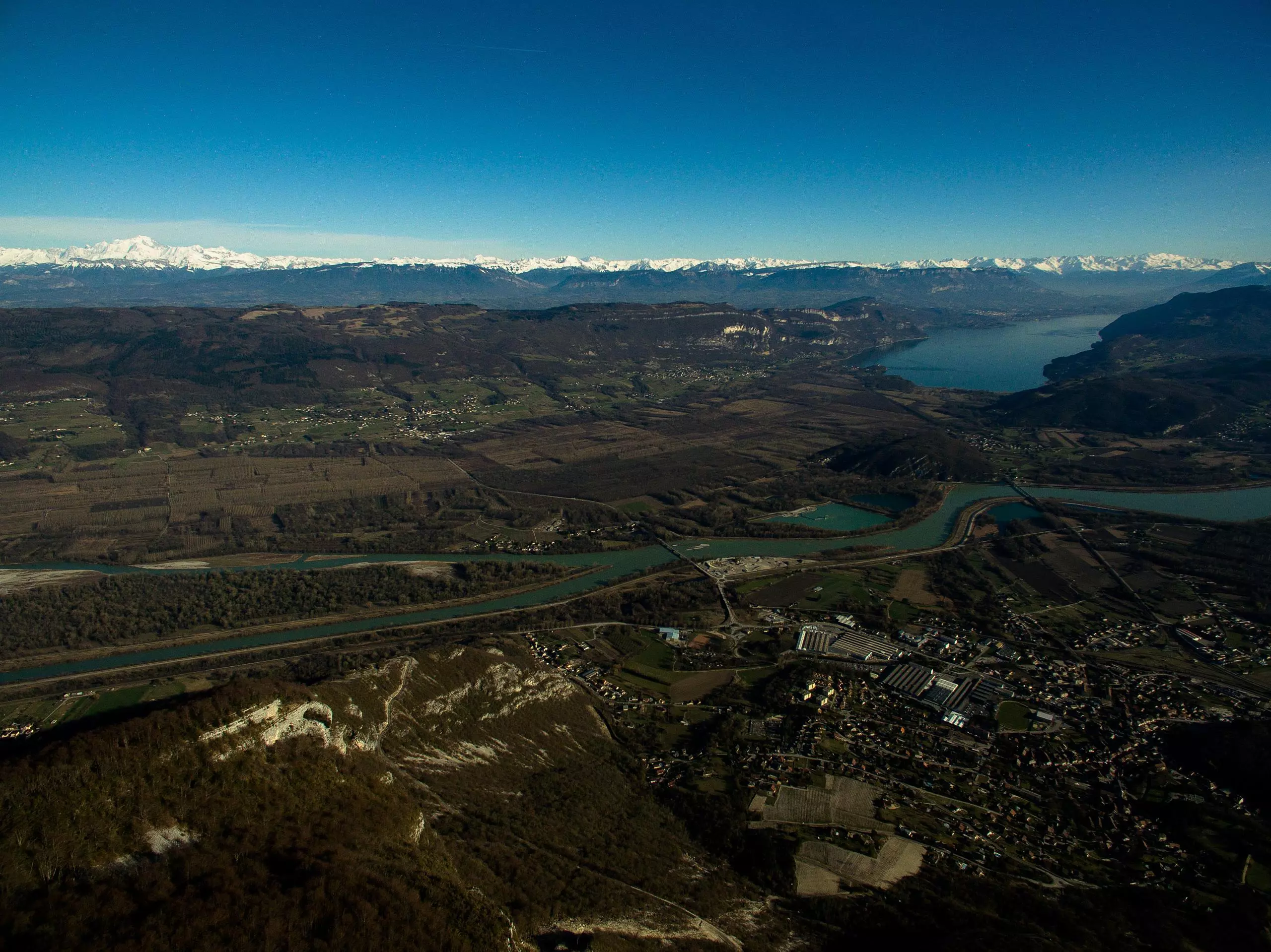
This hiking trail covers 14.991mi starting from Culoz, Ain. The hike is a loop trail and returns to the trailhead. This hike is rated as hard, plan for about 4h45m to complete it. The route has an elevation gain of 4104ft and an elevation loss of 4108ft.
Description of the route by the creator
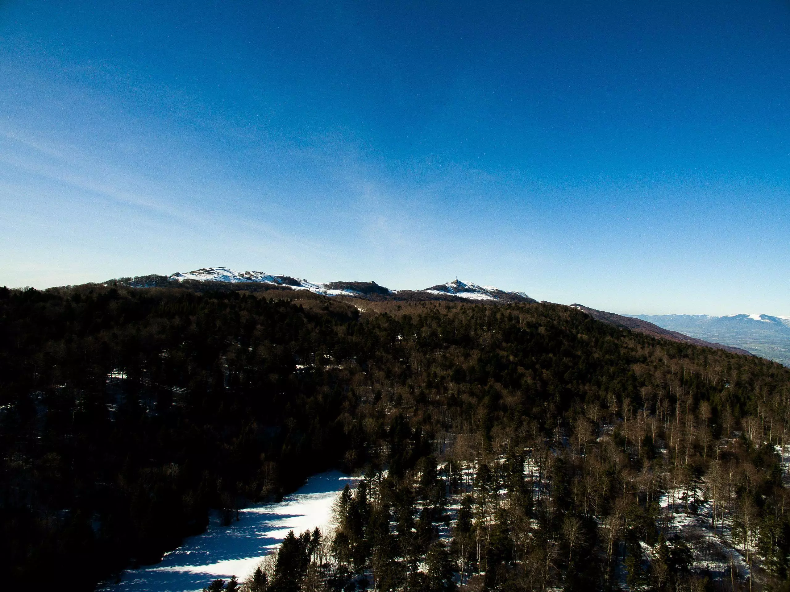
Summit of the Grand Colombier from the parking of Culoz through the Frenestrez. With the winter landscapes.


